
Climbing the Grossglockner: A Day of Complete Contrasts
From Lienz to Zell am See: the day’s stats at a glance
- Distance: 95 kilometres
- Total elevation gained: 2562 metres
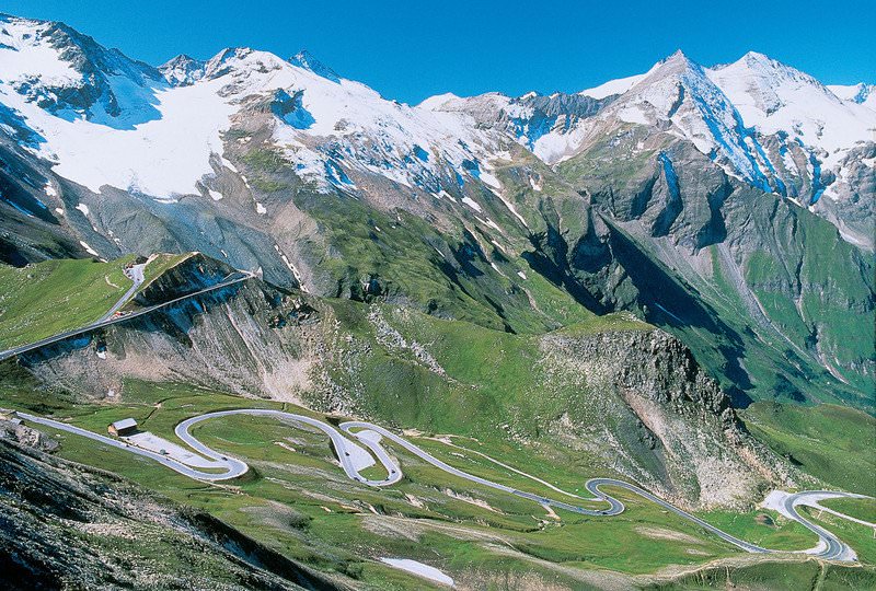
At 3798 metres the Grossglockner is the highest point in Austria and the pass which bears its name is the highest paved road in Austria. It tops out at 2504 metres. The road was built as a tourist attraction to help revitalise Austria’s flagging economy. It has been an enormous success.
The road is very popular with cyclists motorists and motorcyclists. As it turned out, there were no motorcyclists on the road yesterday when we rode up it. More on that later.
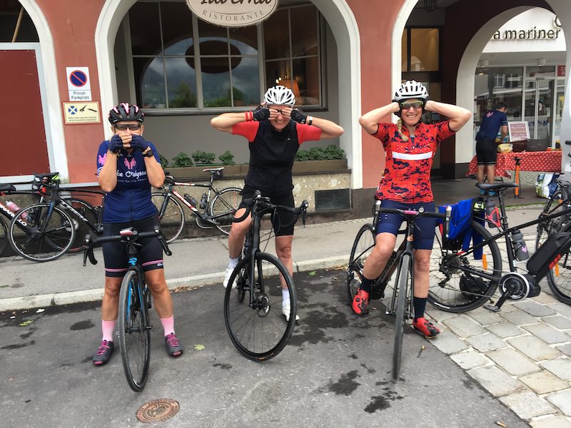
Cycling the Grossglockner is quite daunting – partly for its sustained steepness and partly because the weather conditions at the top can be quite challenging. Today was no exception. Nonetheless, when we set out from Zell am See we were quite optimistic. The forecast was relatively benign even if there wasn’t much sunshine about. Here’s a photo of Jo, Sharon and Di preparing to depart …
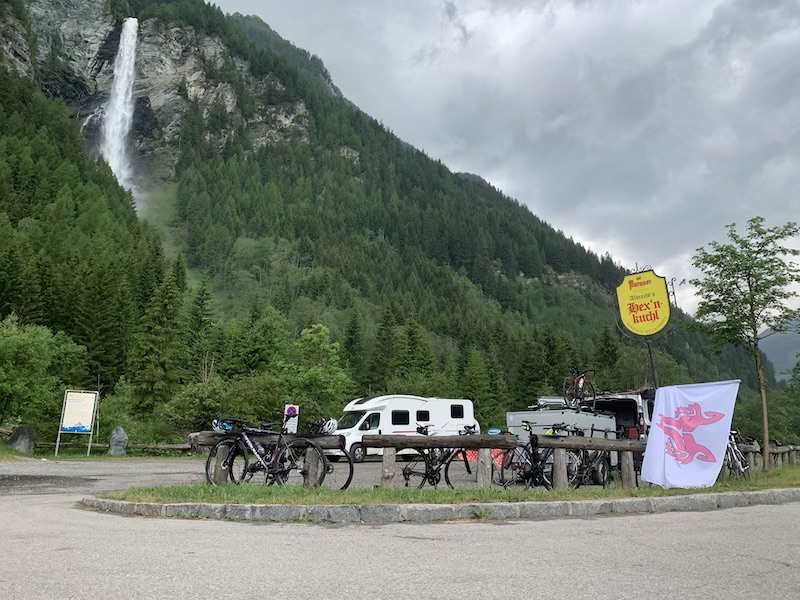
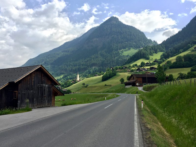
From Zell am See there was a hill that took us up 500 metres of climbing to whet our appetites for the big ascent of the Grossglockner itself. On the other side of that hill, at 33 kilometres from our start in Lienz there is a good little cafe underneath quite a prominent waterfall …
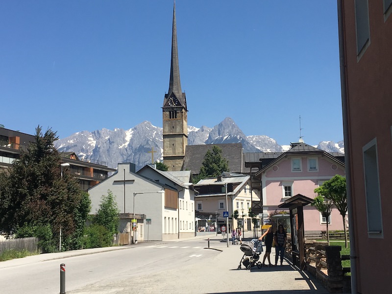
From that coffee shop the road begins to rise gradually towards the small town of Heiligenblut which can be identified by the church steeple in the middle distance …
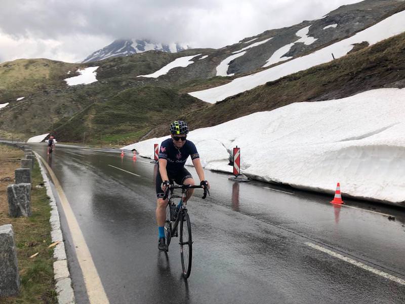
At this point – and for most of the climb – conditions were about perfect: little wind, not cold and not too hot. However, as the first riders of our group entered the uppermost zone of the road, which is quite barren and exposed, the wind got extremely strong and blustery. Three of our group were blown off their bikes. For safety’s sake Fransesca, our guide who was driving the support vehicle on the day decided to pull the last riders off the road and shuttle them up. It was a prudent decision. We discovered when we descended the mountain to Zell am See that the airport had been closed to traffic due to the high winds, and motorcyclists had been banned from the road up the Grossglockner for the day due to the strength and gustiness of that wind.
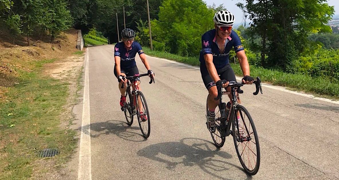
Here’s a photo of Sam with Jane behind, before the winds got too extreme …
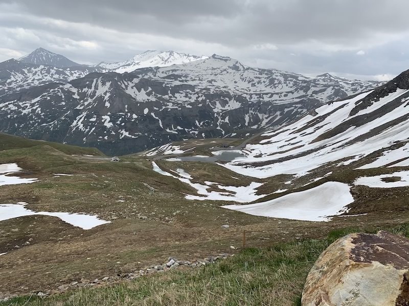
… … and a photo of the landscape towards the top …
There is a tunnel …
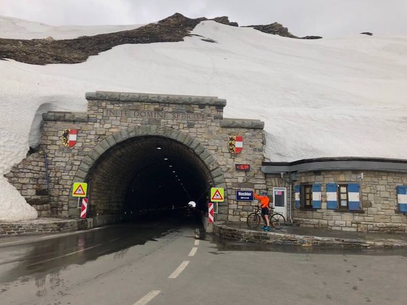
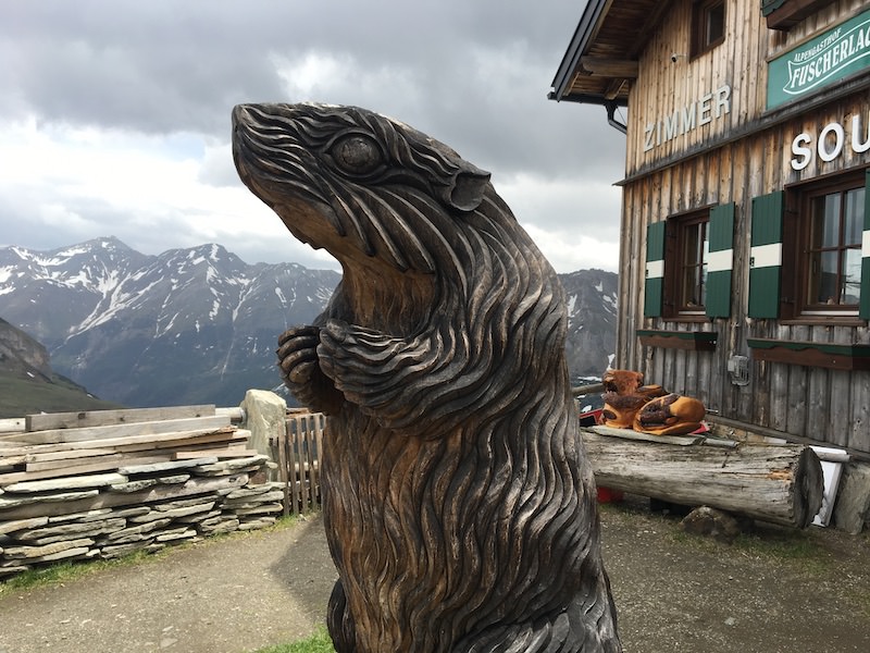
… at the top of the long climb towards the top that leads down into a distinct saddle and our designated lunch stop. Marmots are very common in the high mountains in this part of the world and much loved. The entrance to our lunch stop was guarded by a large carving honouring their presence …
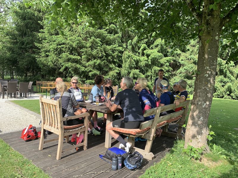
Once lunch was had there was another two hundred metres of ascent before a very fast 18 kilometre descent. The contrast between the top of the hill and the bottom – where temperatures were in the mid-twenties and the sun shone brightly – couldn’t have been greater. We went from being rugged up to stripped right back to the shorts and light jerseys. For the latter half of that descent and the rest of the ride into Zell am See the sun was out and the wind behind us. So from battling treacherous gusts coming at us from all directions at the top we revelled in the wind being a great help. It made for a very fast trip to our hotel, a castle owned by the Porsche family. We all congregated at a picnic table out under a tree sharing a celebratory drink and our stories of the day’s adventures …
Rolling through Stunning Alpine Scenery
From Zell am See to Ramsau am Dachstein: the day’s stats at a glance
- distance: 105 kilometres (with castle extension)
- total elevation gained: 1950 metres
Today was a very different ride from yesterday. While we still had quite a lot of elevation, the ride was broken up into several smaller hills and a long gradual climb to the finish. And while yesterday’s route took us up and over the highest paved road in Austria and a majestic massif, today’s ride presented us with endless picture-postcard views of mountains and valleys as we rolled past and through them.
Yes, there were some steep pinches to negotiate but none of them were so long that we couldn’t see an end in sight. At 1370 metres the day’s high point was almost half the elevation of yesterday’s, meaning we never had to resort to donning warmer clothing. There was no nervousness about what the weather might throw at us, we simply enjoyed the journey and soaked up the scenery. Once again though there was a magnificent descent which was only a couple of kilometres shorter than yesterday’s, taking us from 31 kilometres along our route to a valley floor at the 47 kilometre mark.
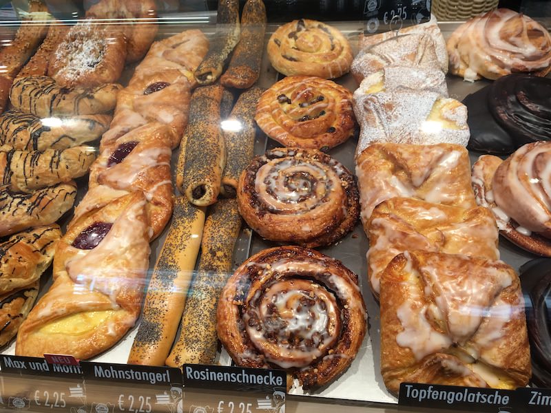
Our designated coffee stop at the top of the second hill and the day’s high point happened to be closed due to a holiday so we streaked down the hill to find sustenance …
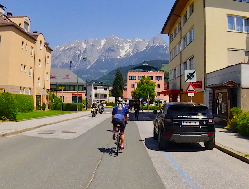
In the valley floor we enjoyed more great views …
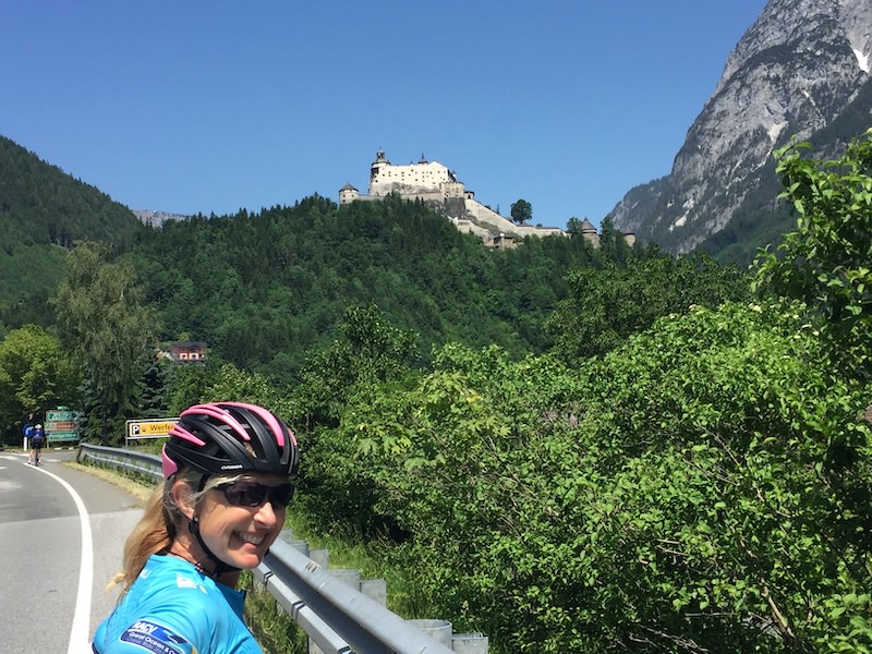
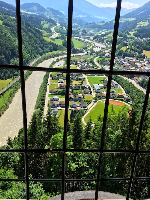
Most of us opted to ride a little further along the valley before turning towards lunch so we could visit the Hohenwerten Castle, made famous to the world by the iconic 1968 movie “Where Eagles Dare” starring Charles Bronson and Clint Eastwood. This castle is not a pretty picture book edifice but a powerful fortress sitting atop a rocky knob. You can get an idea of its impregnability in this photo that Di took as we neared the castle …
Access has been made significantly easier for modern visitors via an elevator that ascends this breathtaking ramp …
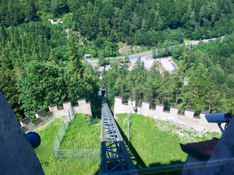
The castle provides a great vantage point over the valley below …
We resisted the lure of cold beers inside the castle keep and rolled on to lunch in the small town of Huttau where most of us cooled our heels and heads in the cold, cold water of the fountain beside the great lunch that Enrico had set out for us. A little pinch after lunch and a slight descent brought us to another valley where quite a few of us stopped for another cold drink as by now the mercury was edging up towards and perhaps even beyond 30 degrees centigrade.
Another took us to the top of the last hill …
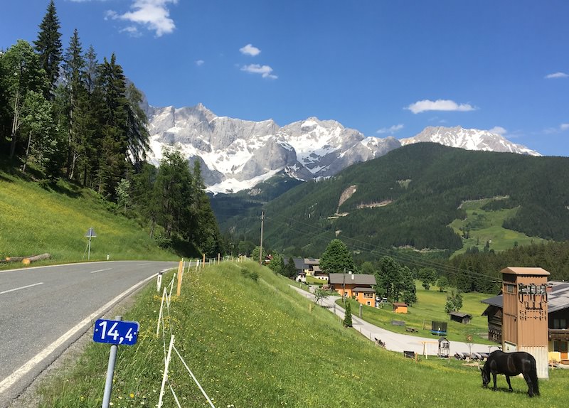
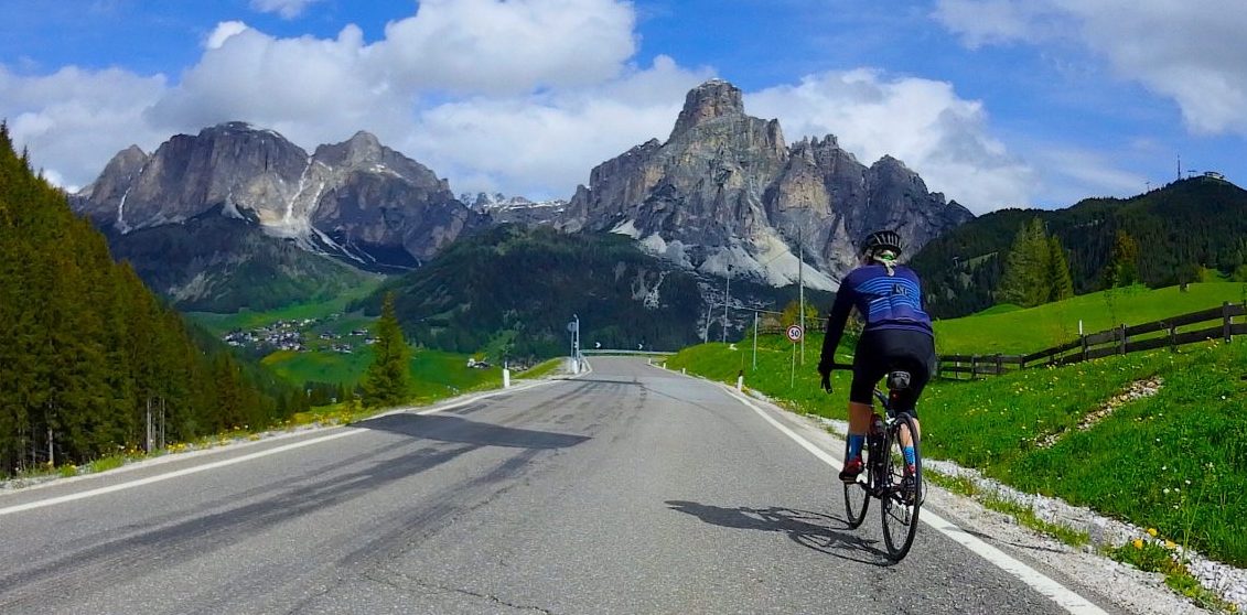
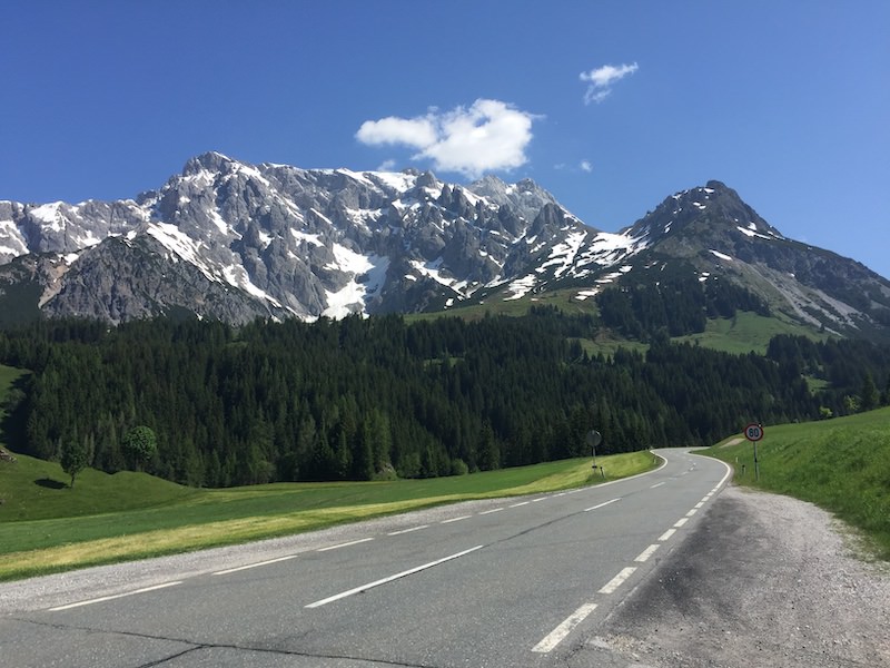
From here we enjoyed a lovely fast, slightly downhill run with the road bringing us close to the mountain in the picture above before turning right and into the next valley. We were all raving about the beauty of the route by the time we rolled into our hotel. I for one can’t wait to see what tomorrow will bring in terms of scenery – especially as we will be having a significantly easier day before another challenging journey in two day’s time.