Author: Charles Morgan

  • Shogun Day 26: Yatsgatake to Fuji…Well Hello Fuji San!

    Watch the Relive video here:https://www.relive.com/view/vRO7ZeEJzyv

    On the Road – Distance 104km / 65mi | Elevation 2562m / 8406 ft


    Four major climbs today with lots of steep rollers in between:

    3.2 km @ 4%….

    8 km @6.4%…this was a killer with early 20% grade and immediately after lunch

    3 km @5.8%…

    and 21 km @ 5.6%…although not crazy, this climb just wore me down.
    A spectacular and challenging day to finish the bike trip. Were we to be lucky enough to see Fuji San up close today or will it be hidden in the fog?

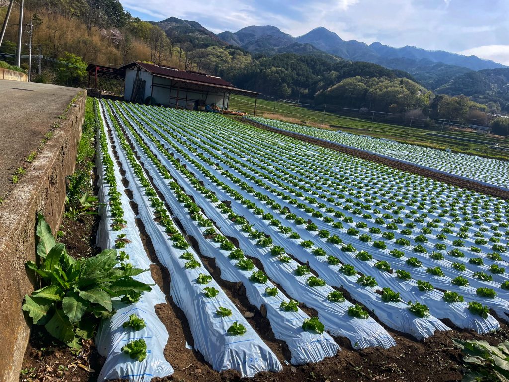
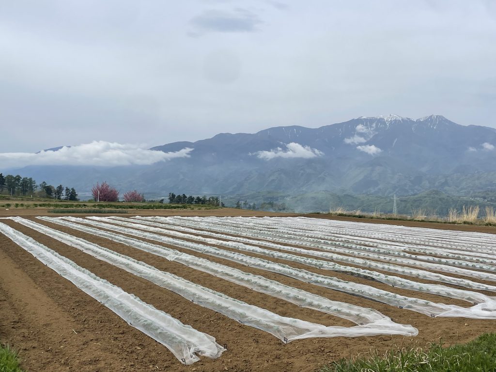
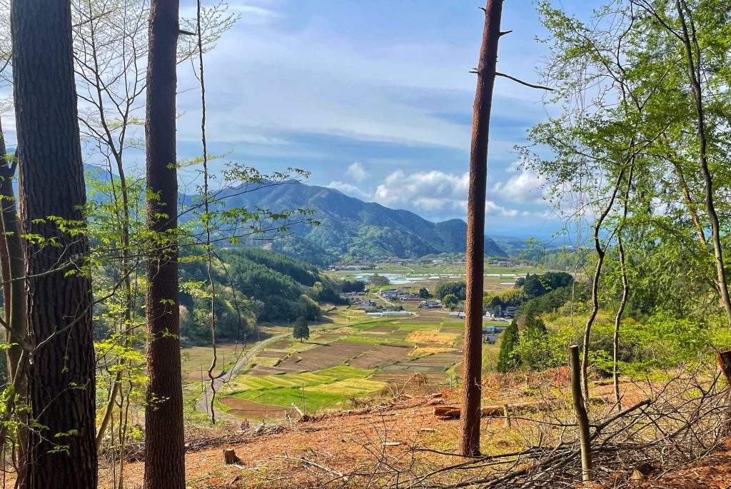
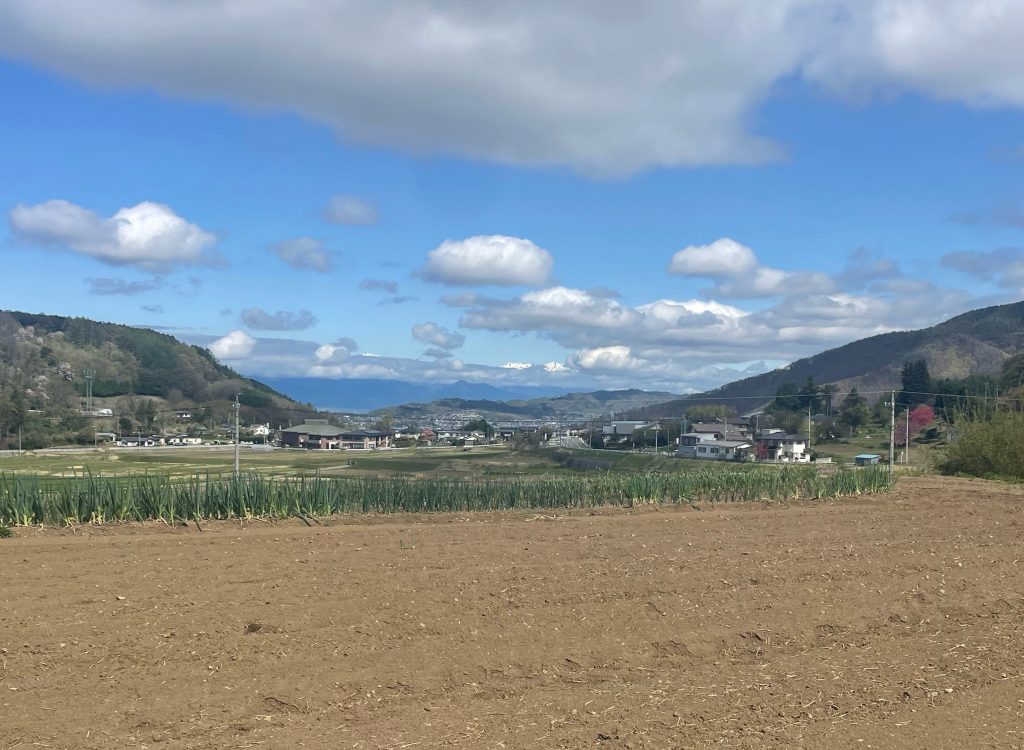
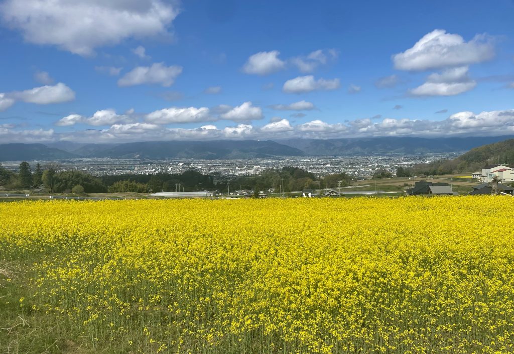
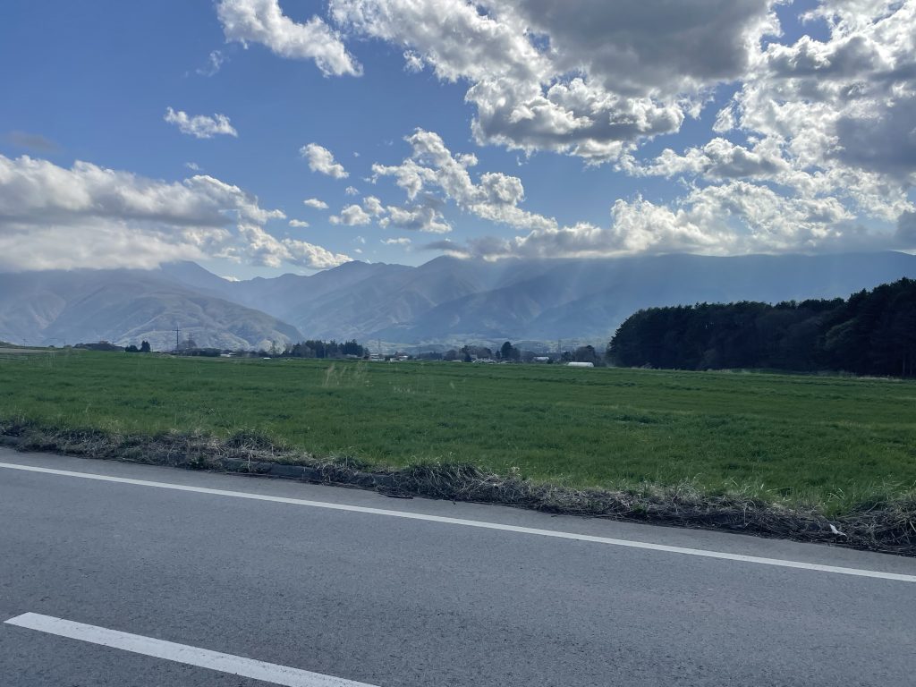
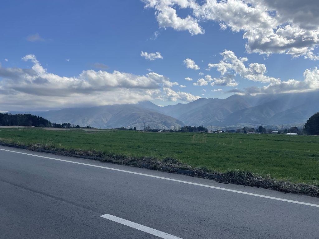
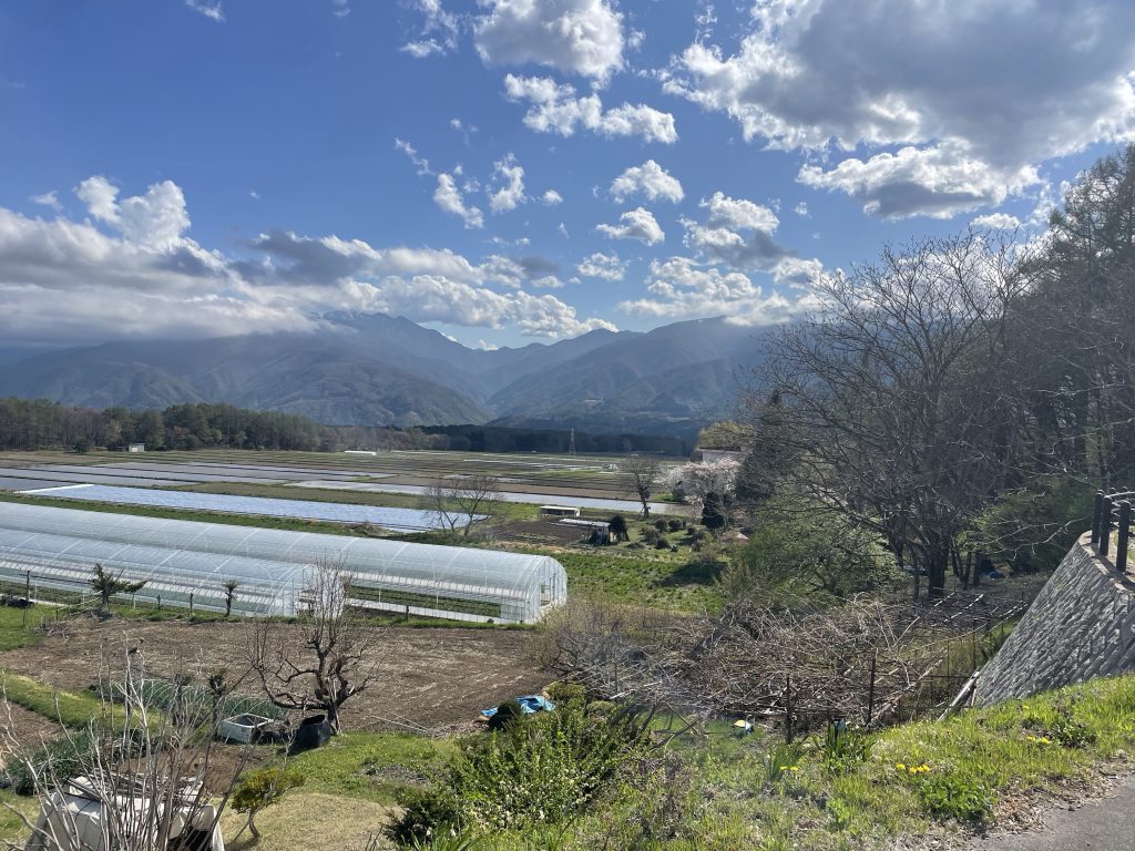
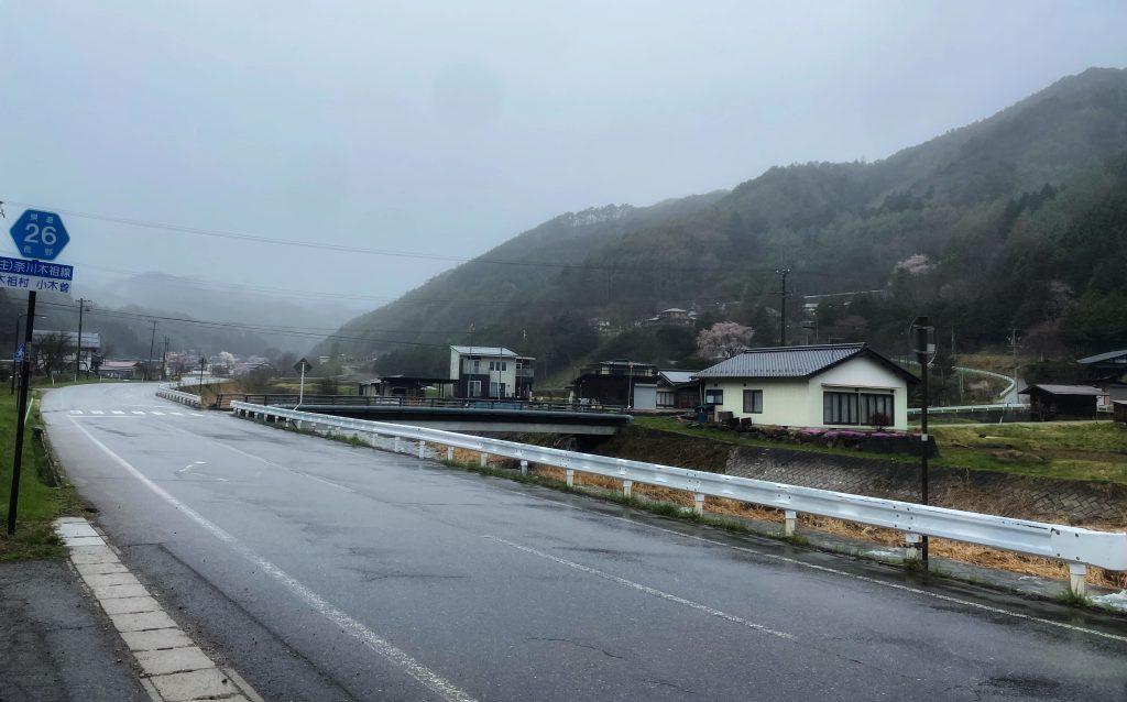
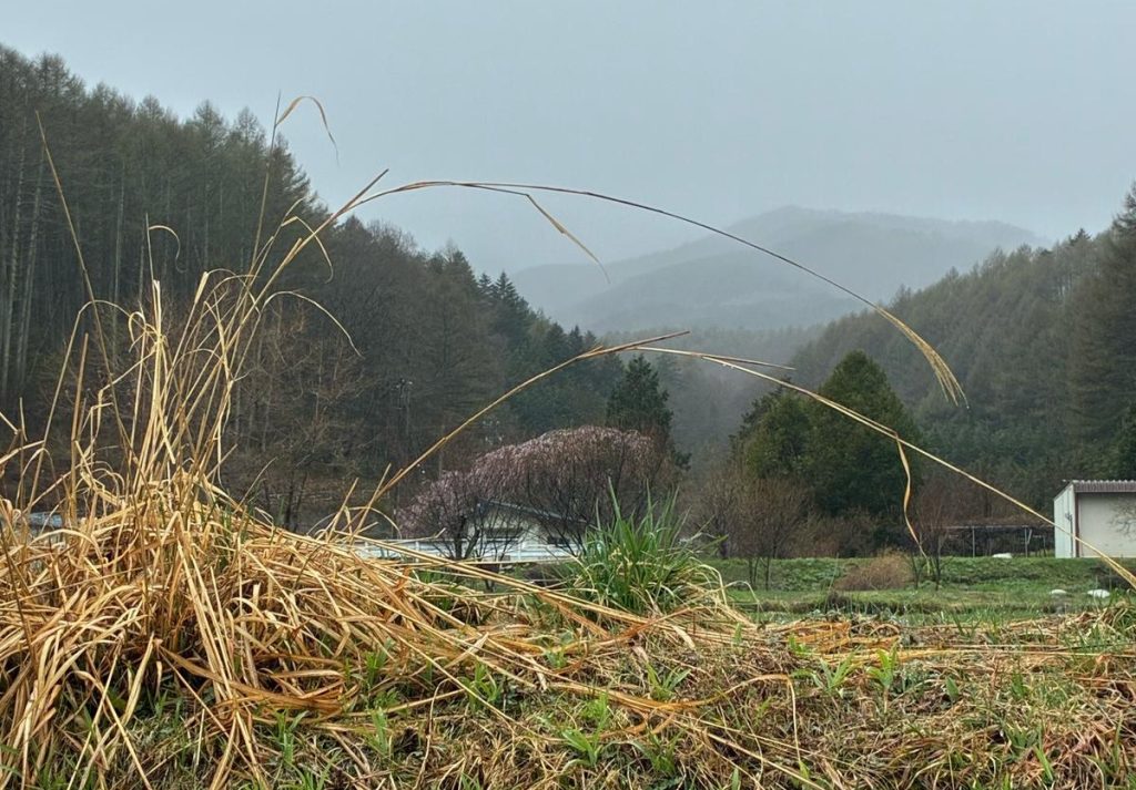
    Rolling out of the Yatsgatake Mountains through farmers markets, strawberry fields and lettuce fields with fantastic vistas.
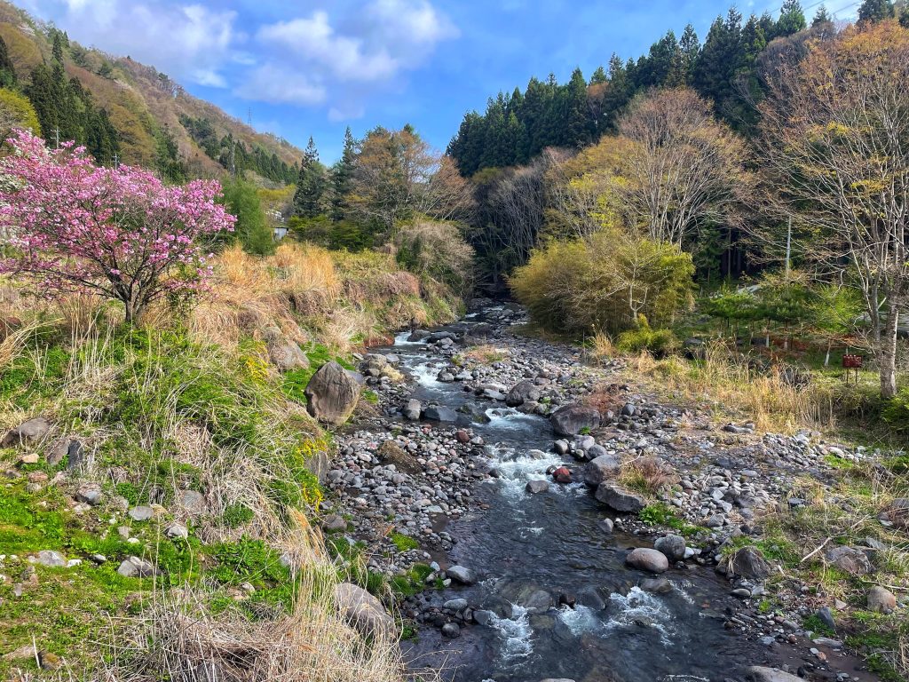
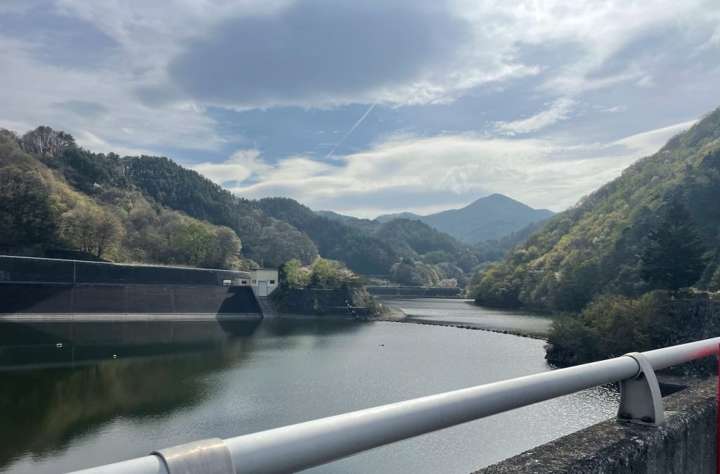
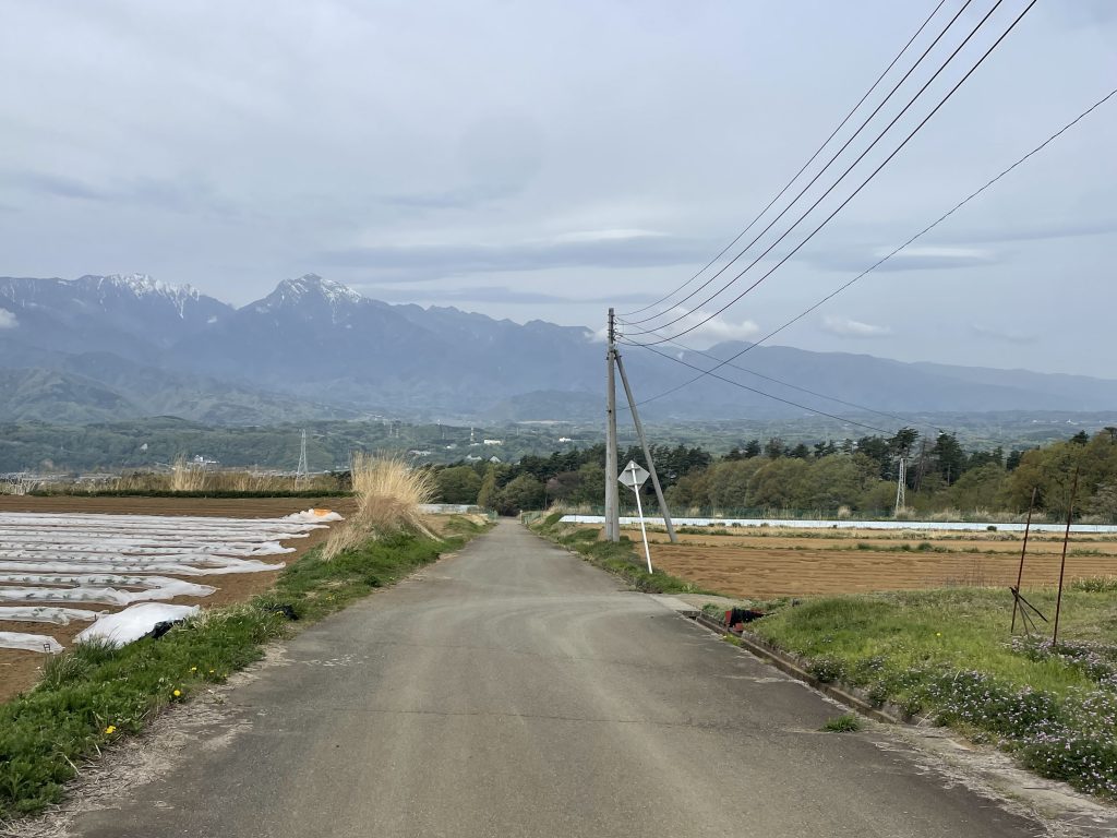
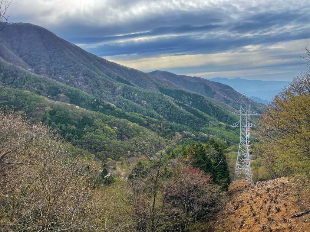
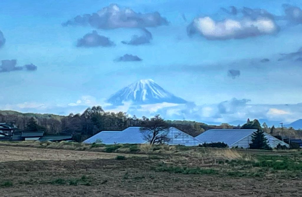
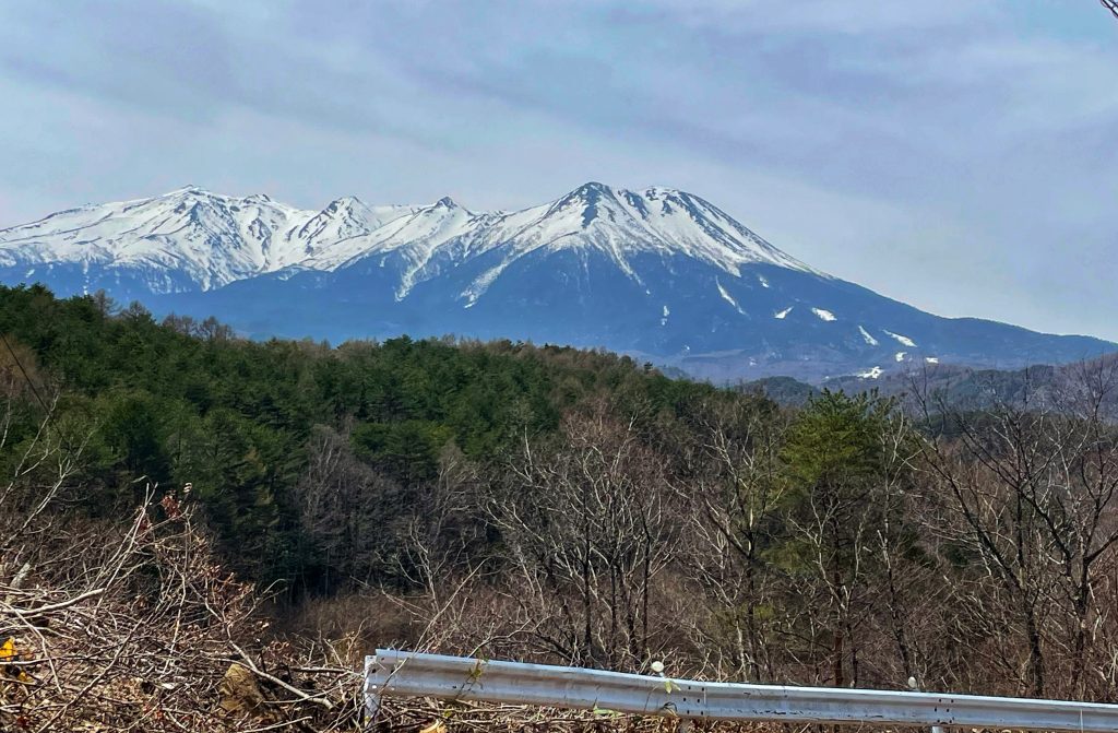
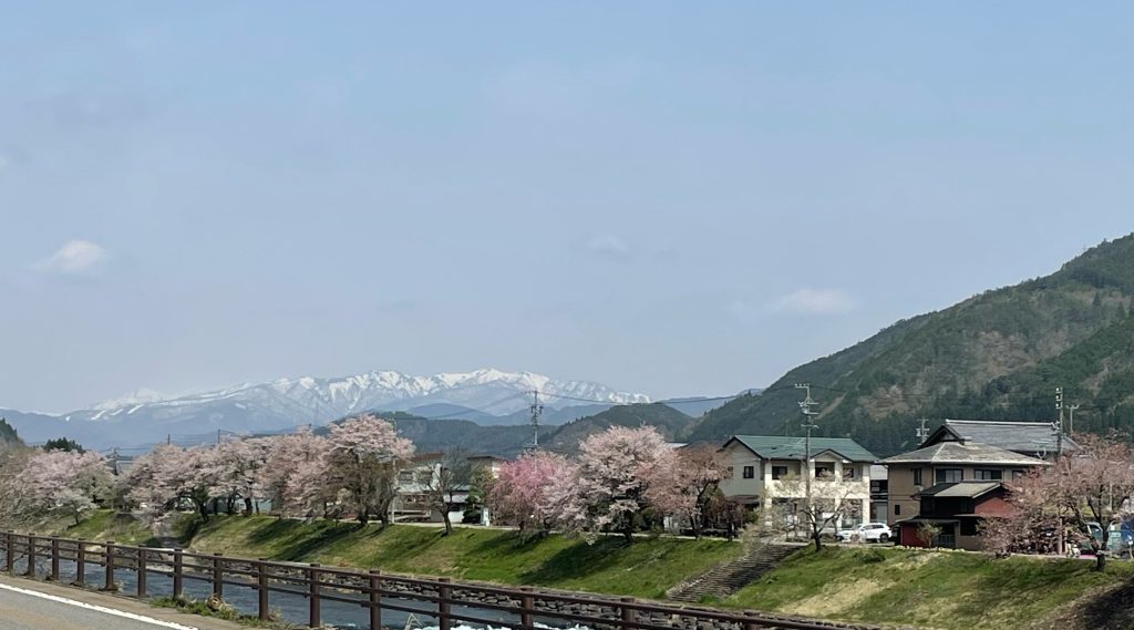
    A first far off sighting of our target at the 52 km mark…
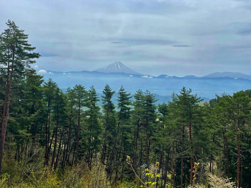
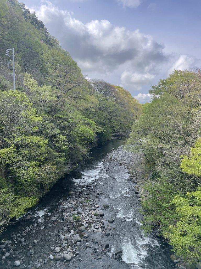
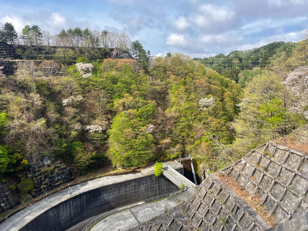
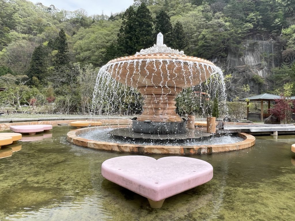
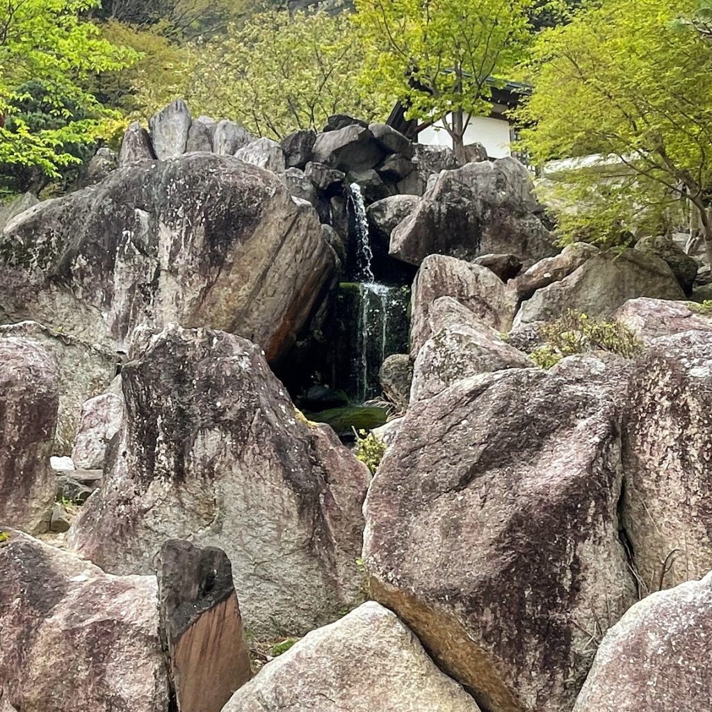
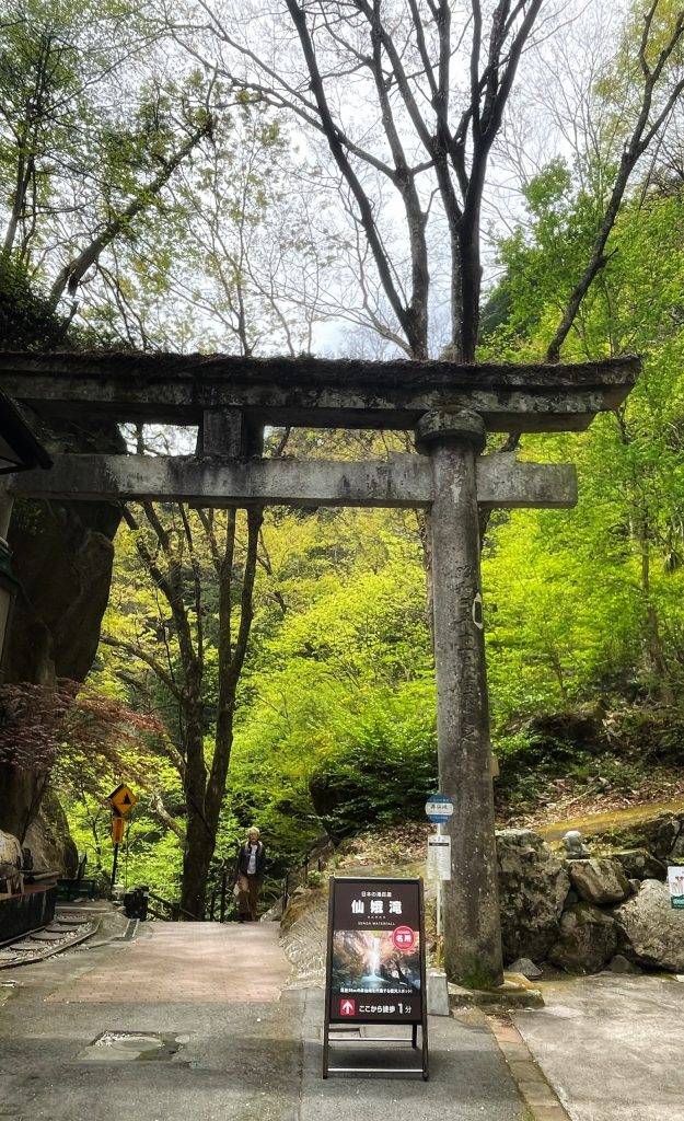
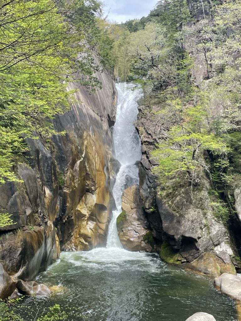
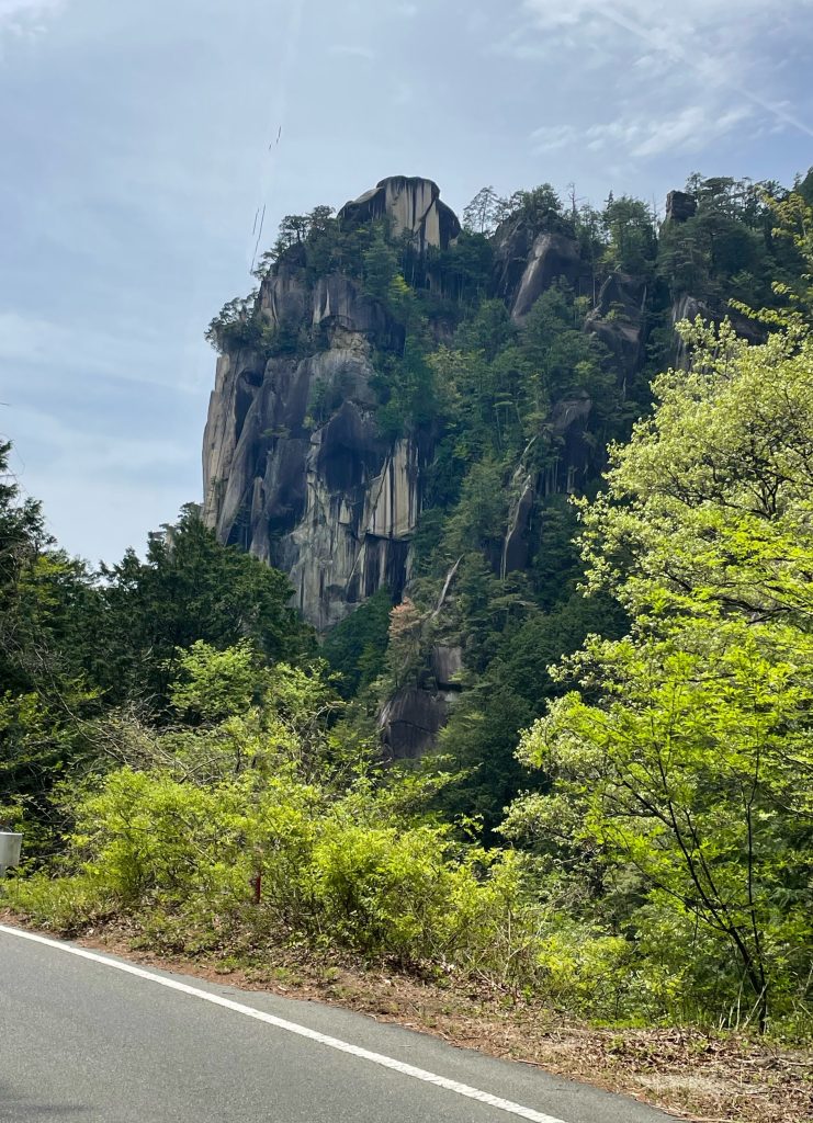
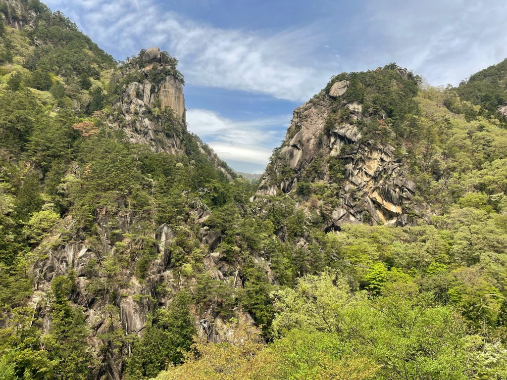
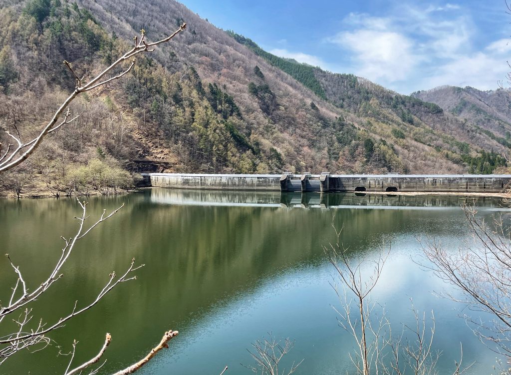
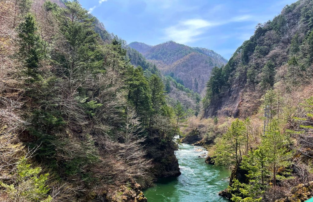
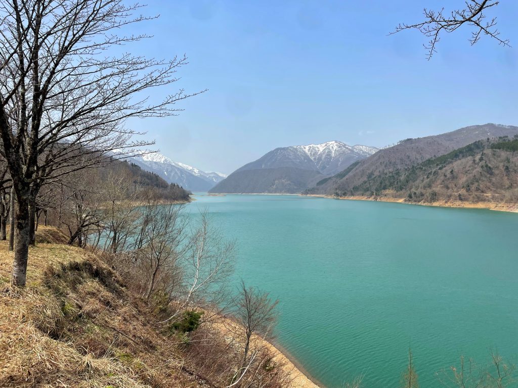
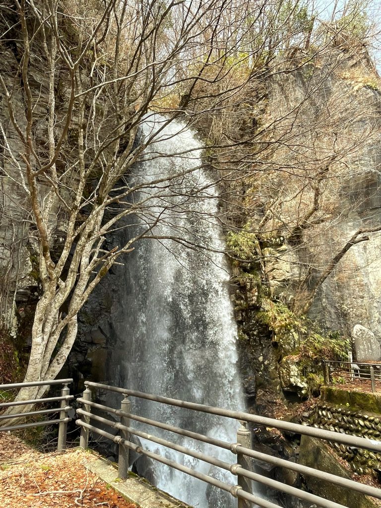
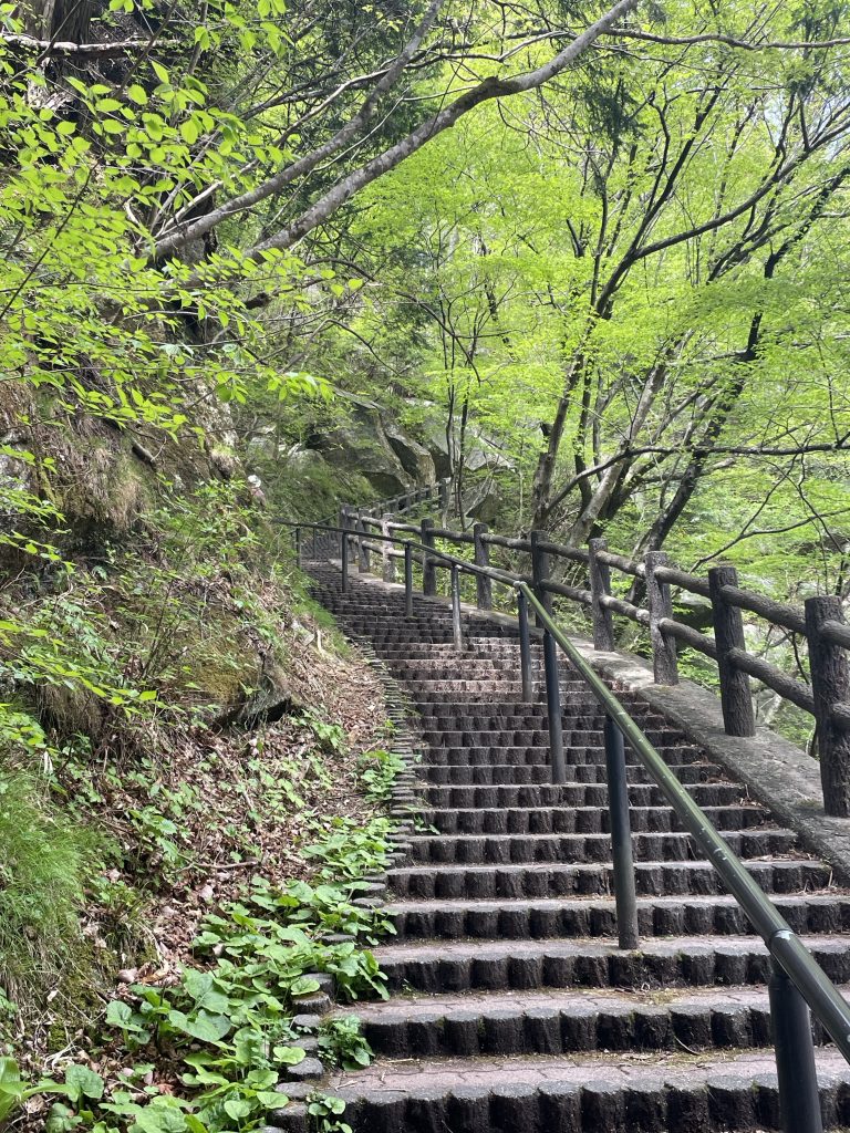
    We immediately descended the Kai Valley and looped into spectacular Shosenkyo Gorge with rocky vistas, and waterfalls.
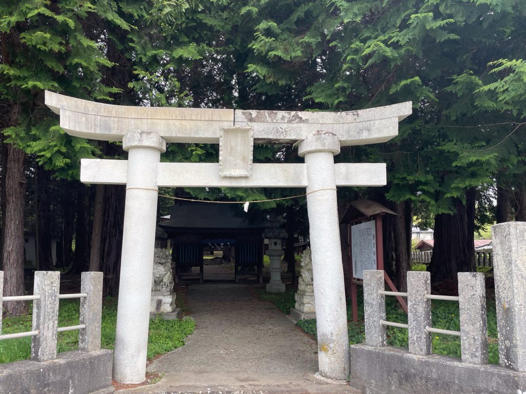
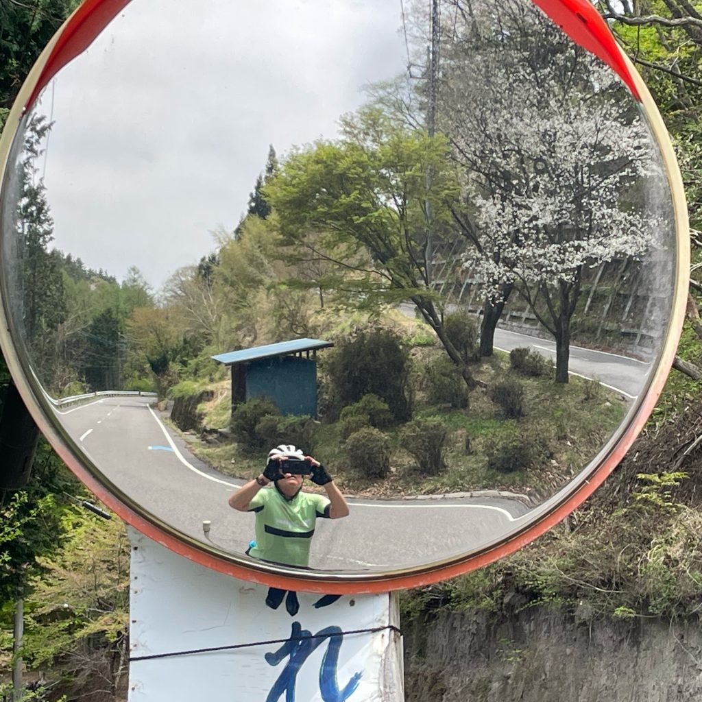
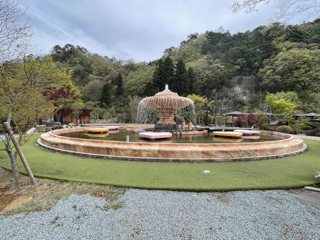
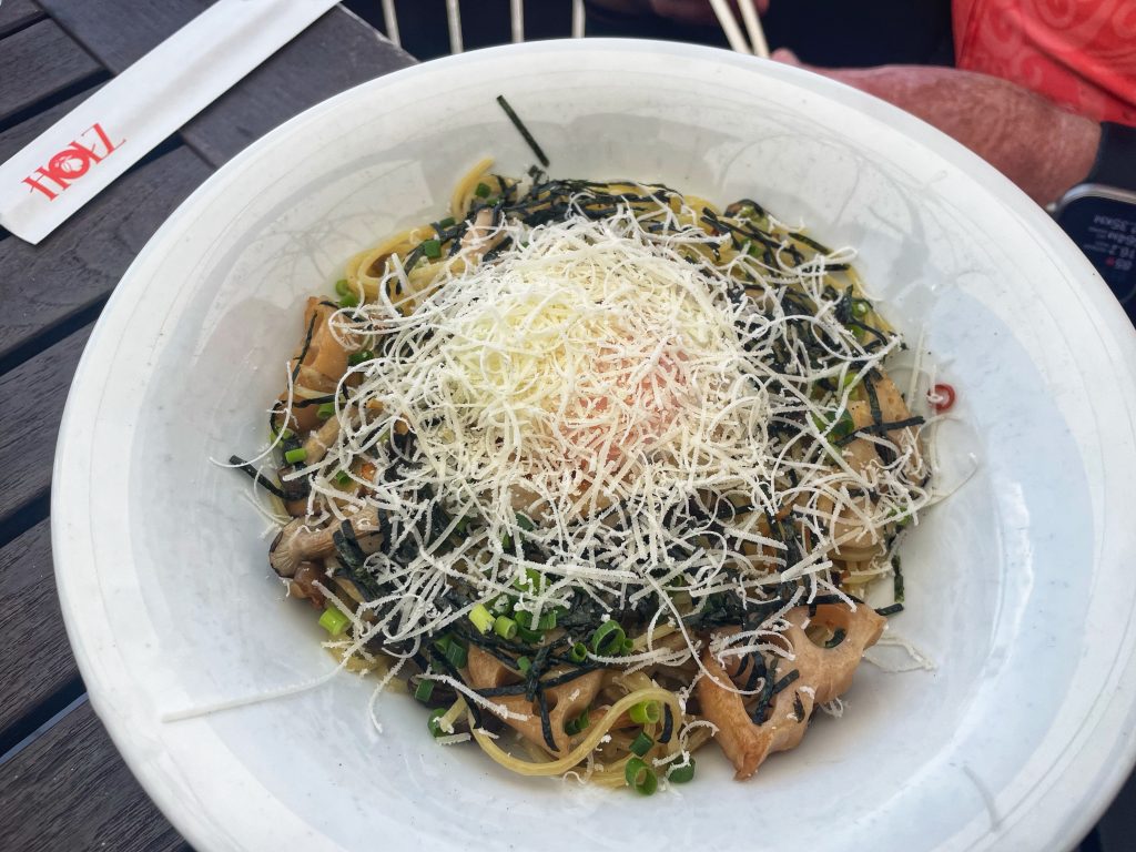
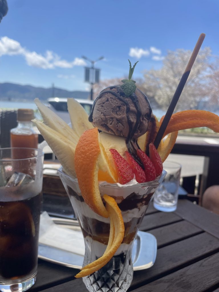
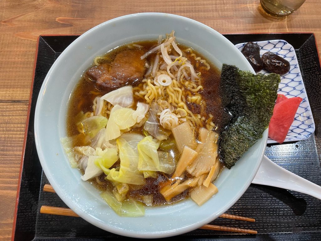
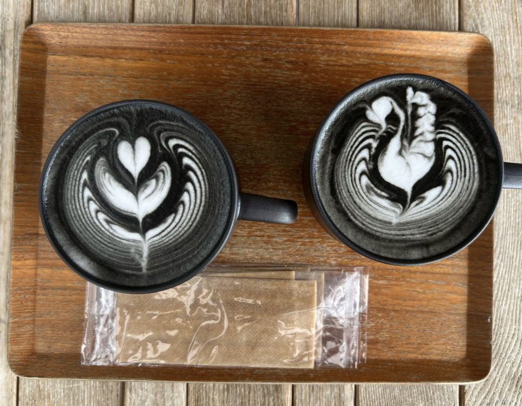
    After lunch here we descended to one of Japan’s finest coffees – it can be quite an art form at the right location and this was one of those places! 
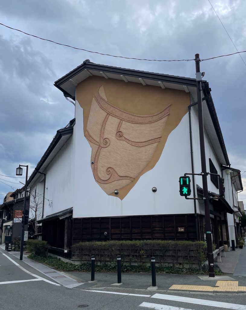
    Our coffee shop celebrates this ancient building method, in fact the coffees and sandwiches are black and named in their honour! These coffees are made this way with charcoal bamboo, supposedly good for the digestion!

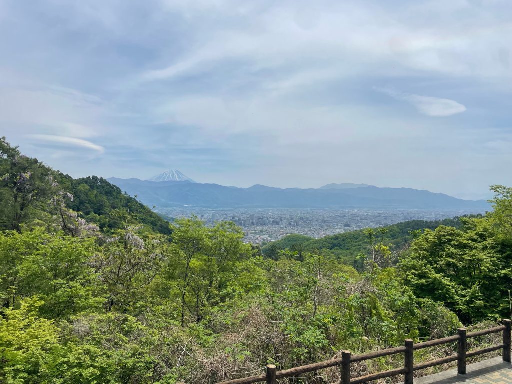
    While you might think climbing Mount Fuji to be the ultimate, but the reality is the roads surrounding Fuji are where you get the best views of the stunning volcano.
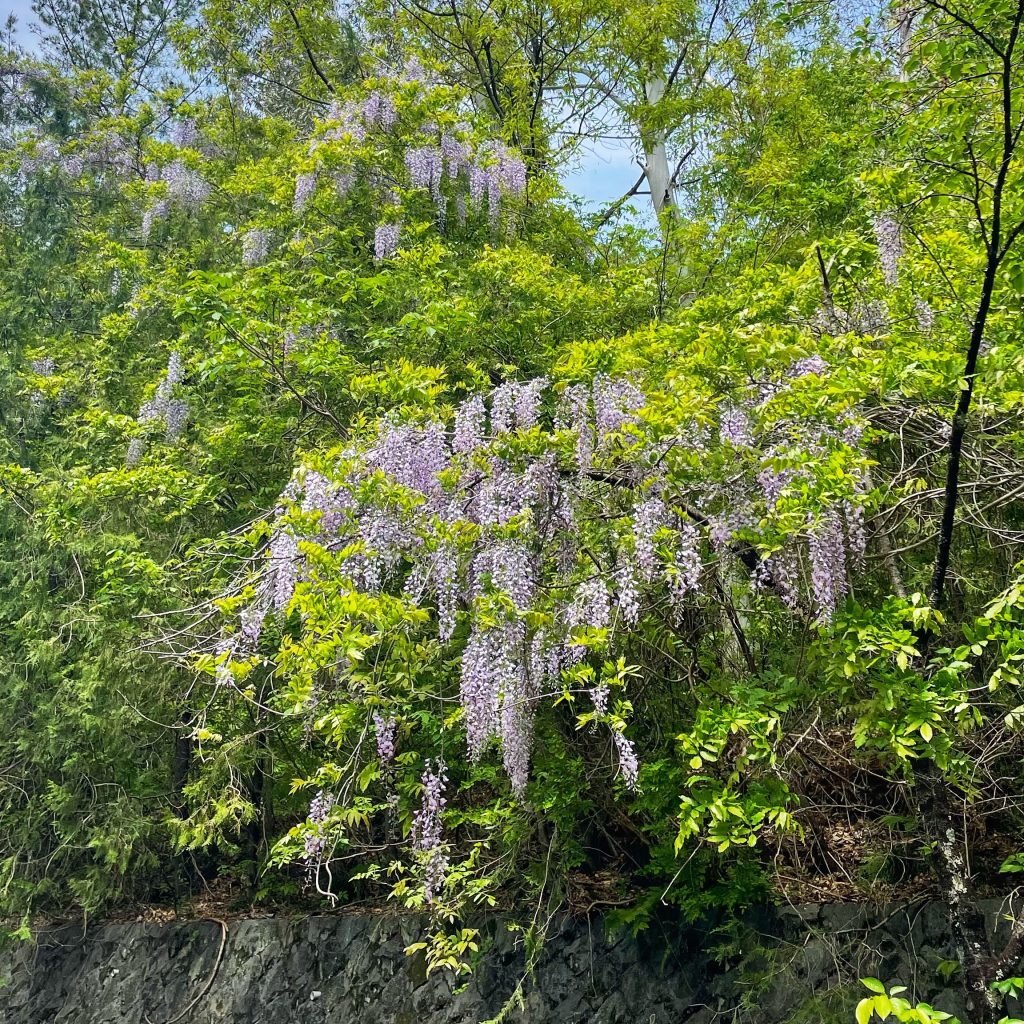
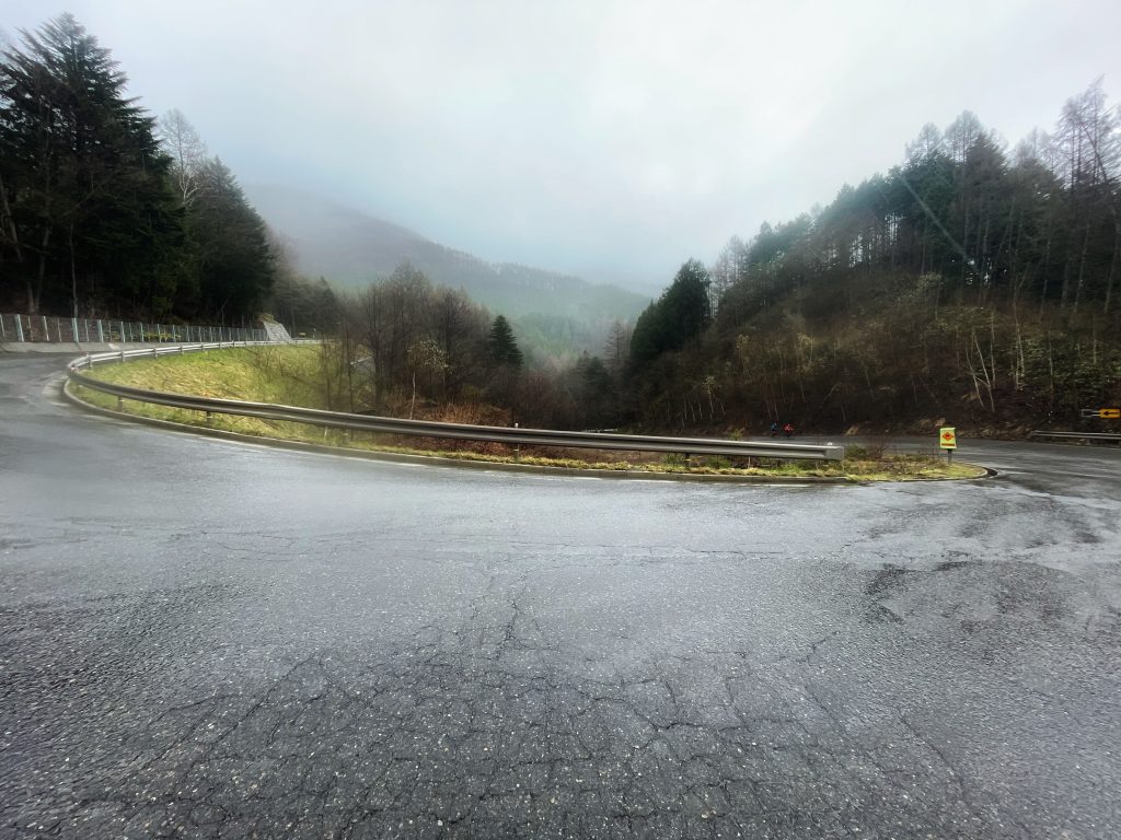
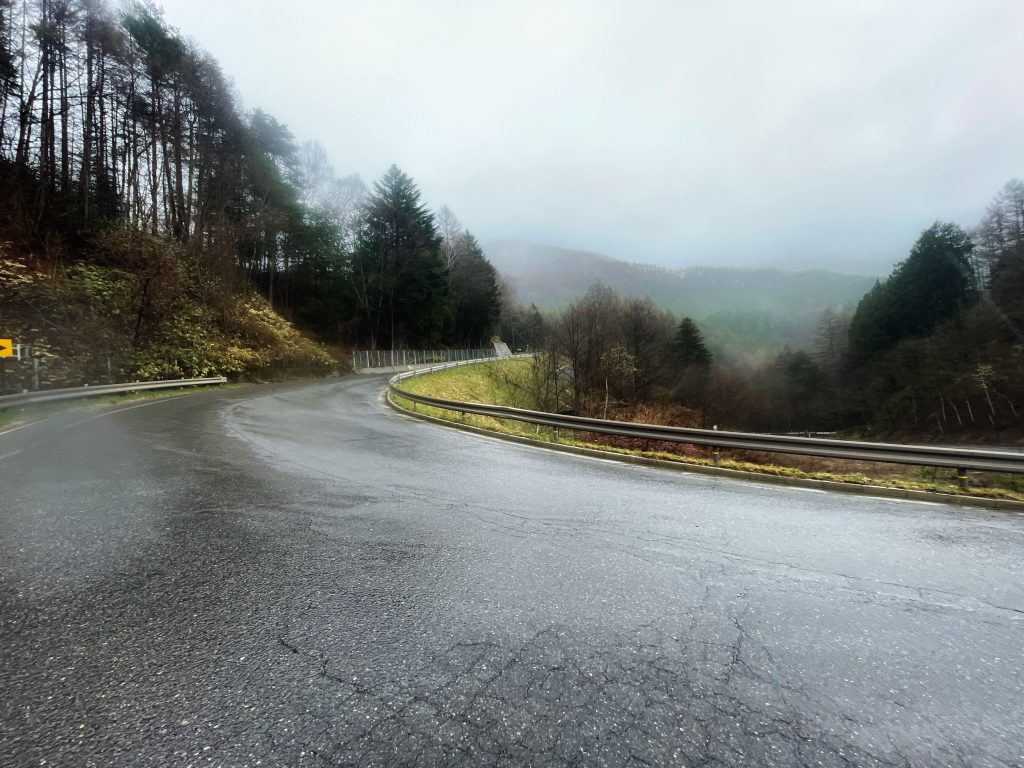
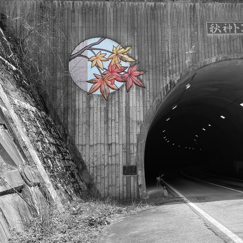
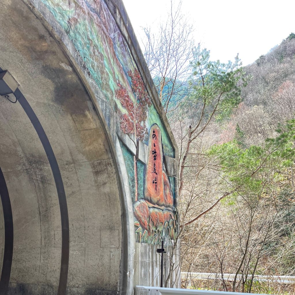
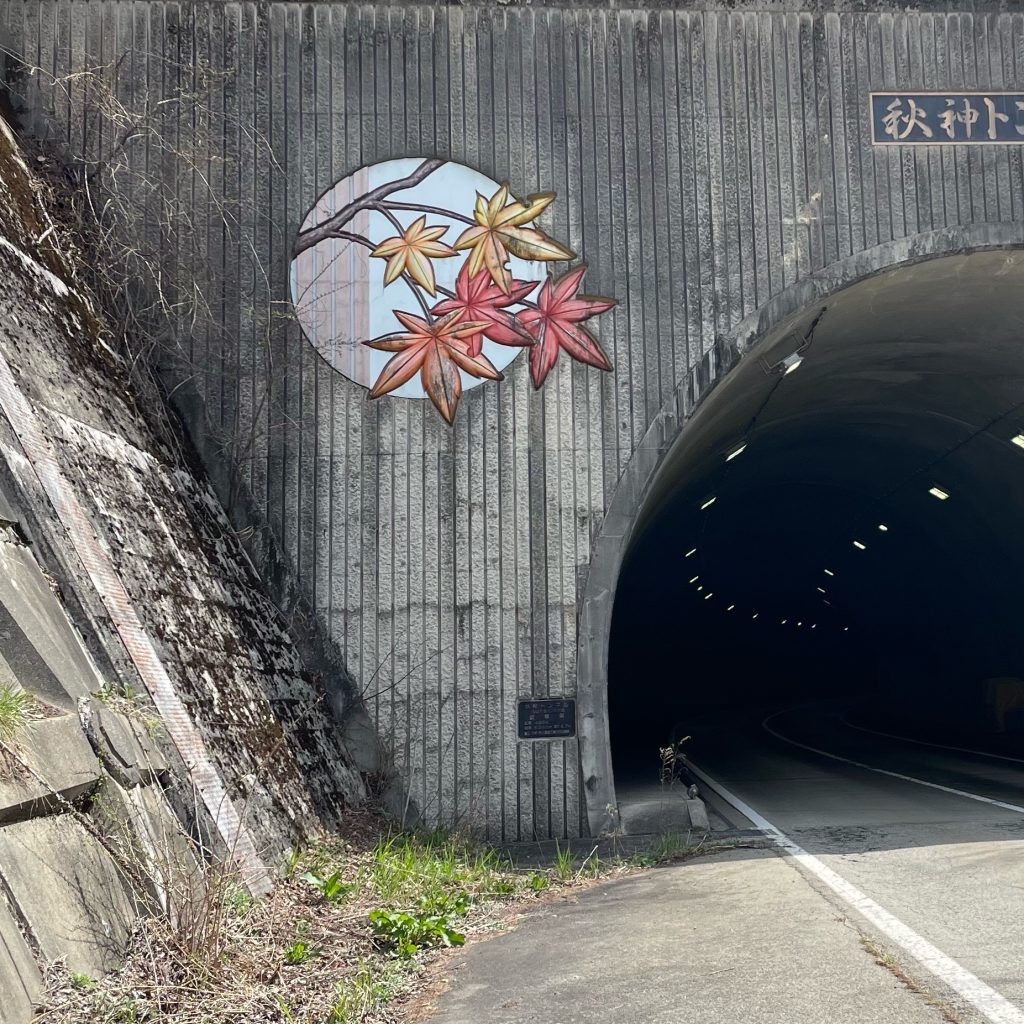
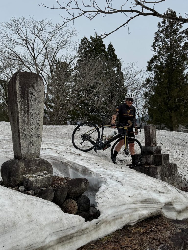
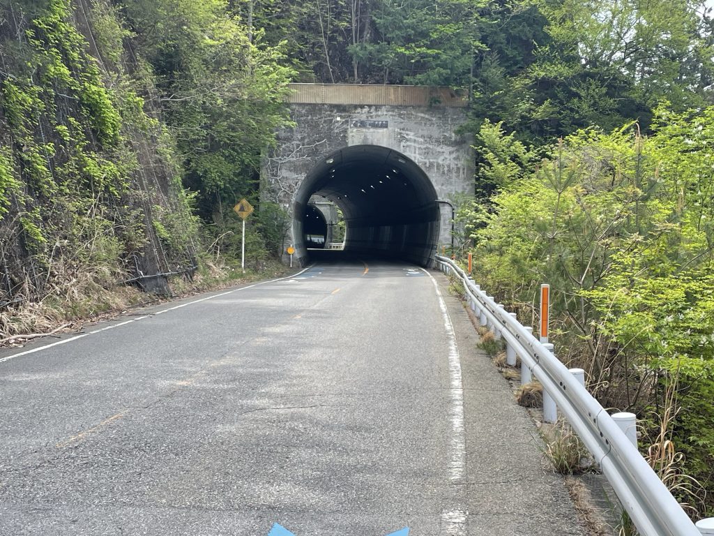
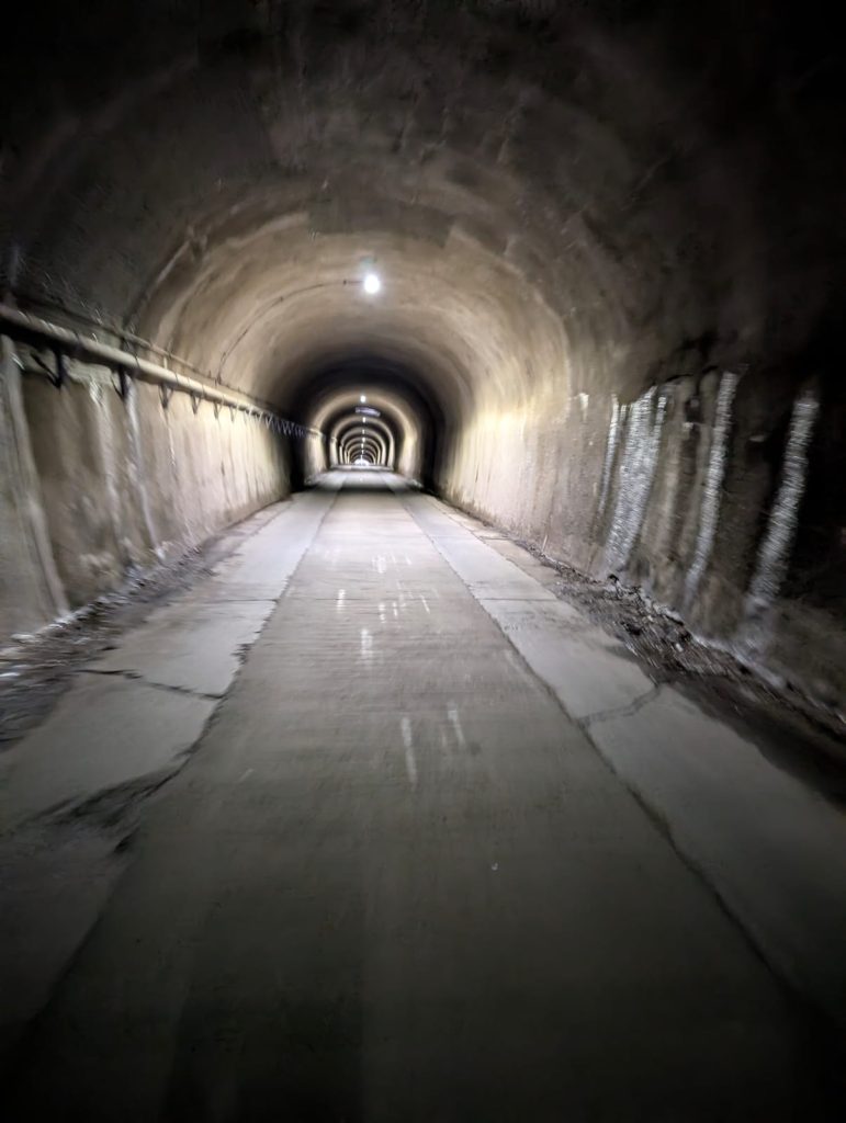
    We ascended our final long 21km climb through the Mikasa Pass, the summit being just in front of a tunnel entrance(#5 today for trip grand total of 36).
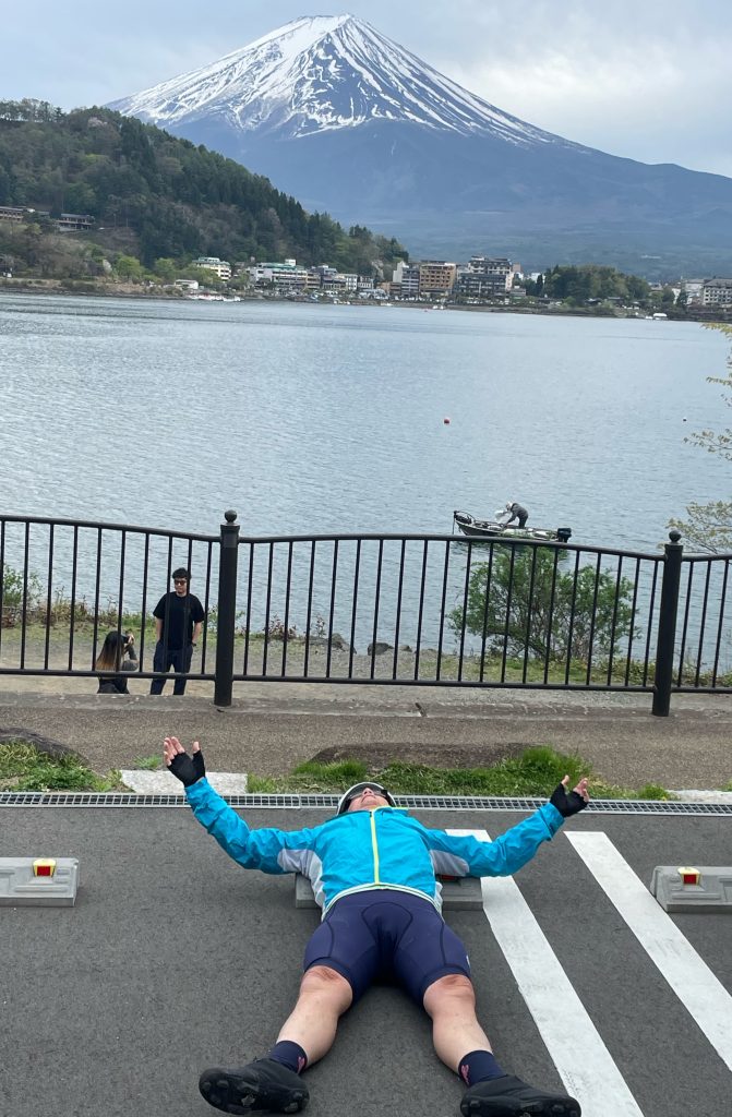
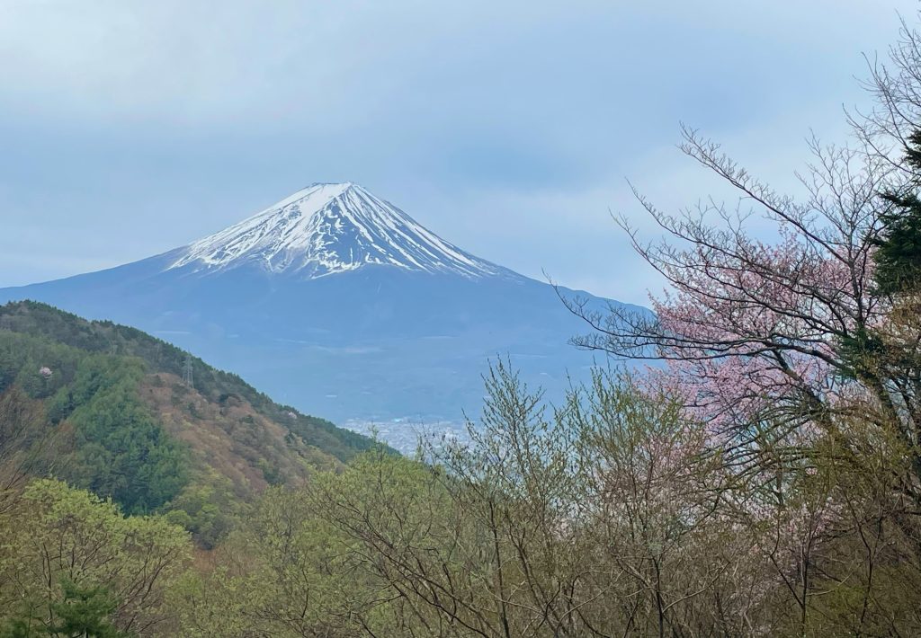
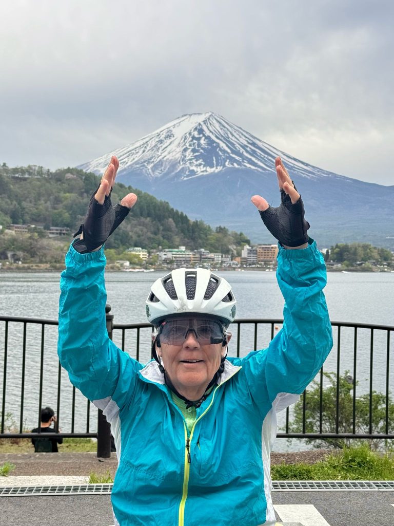
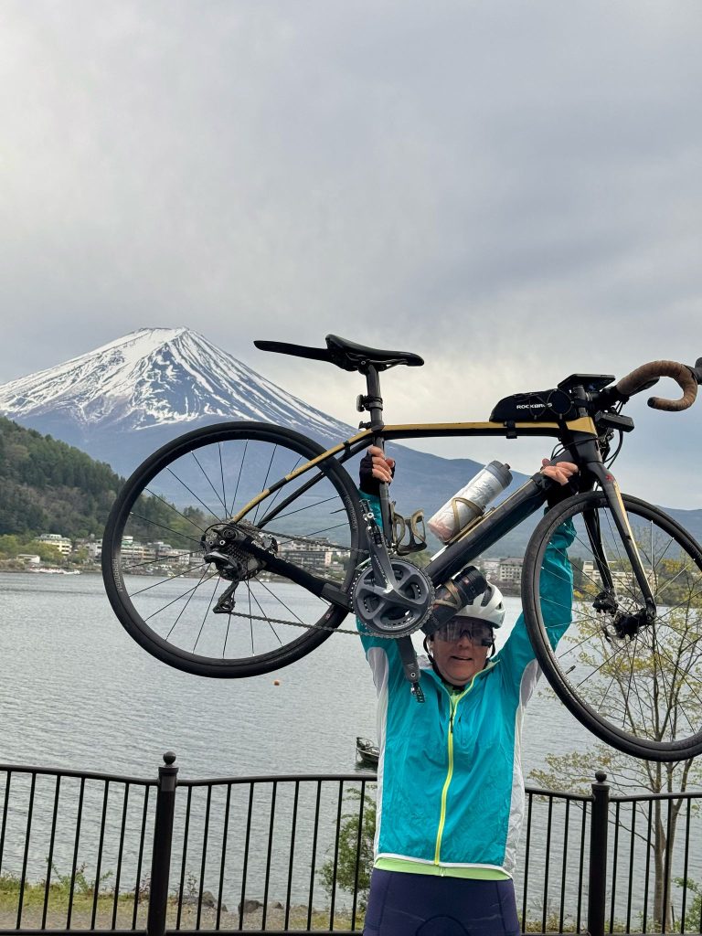
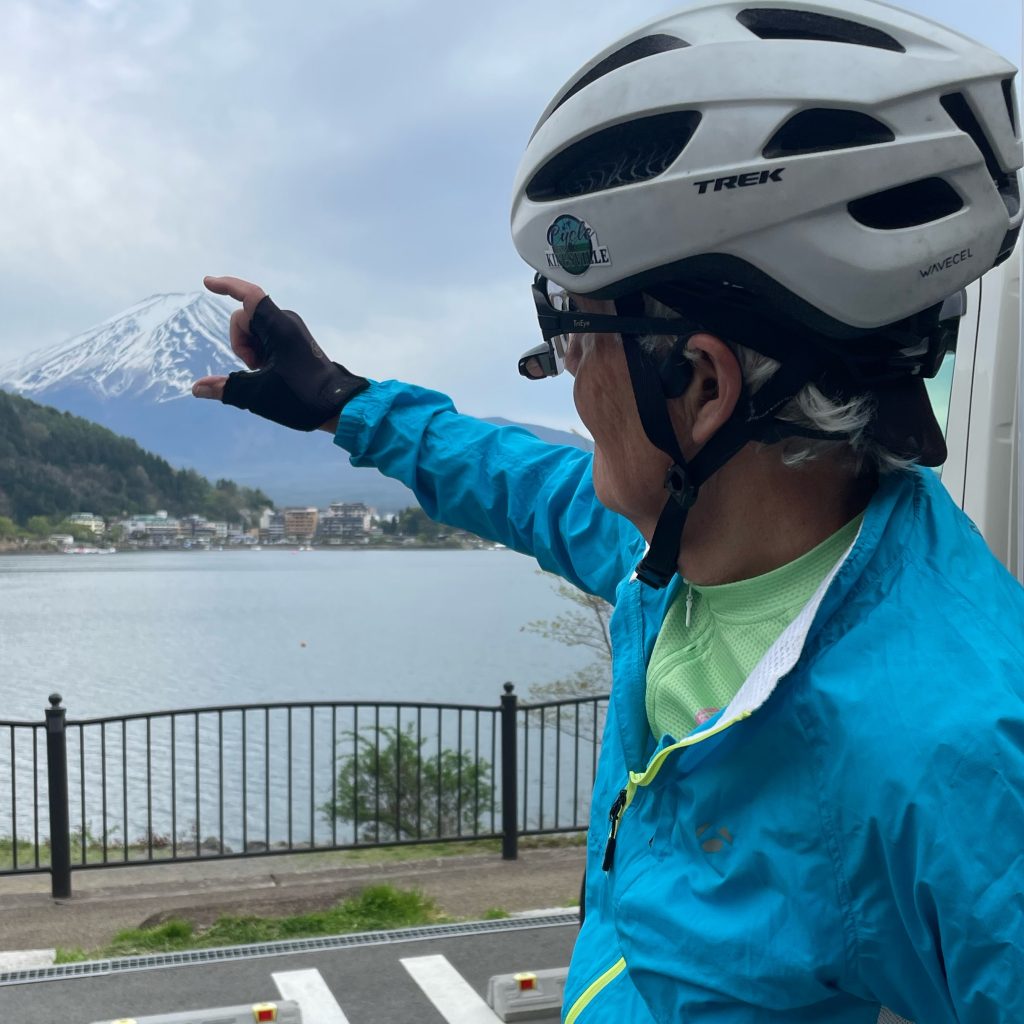
    Upon exiting the tunnel we were immediately greeted by Fuji San and to be sure, it was an emotional moment for all of us to see what we had been riding 26 days to find. He did not disappoint!
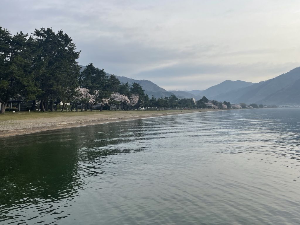
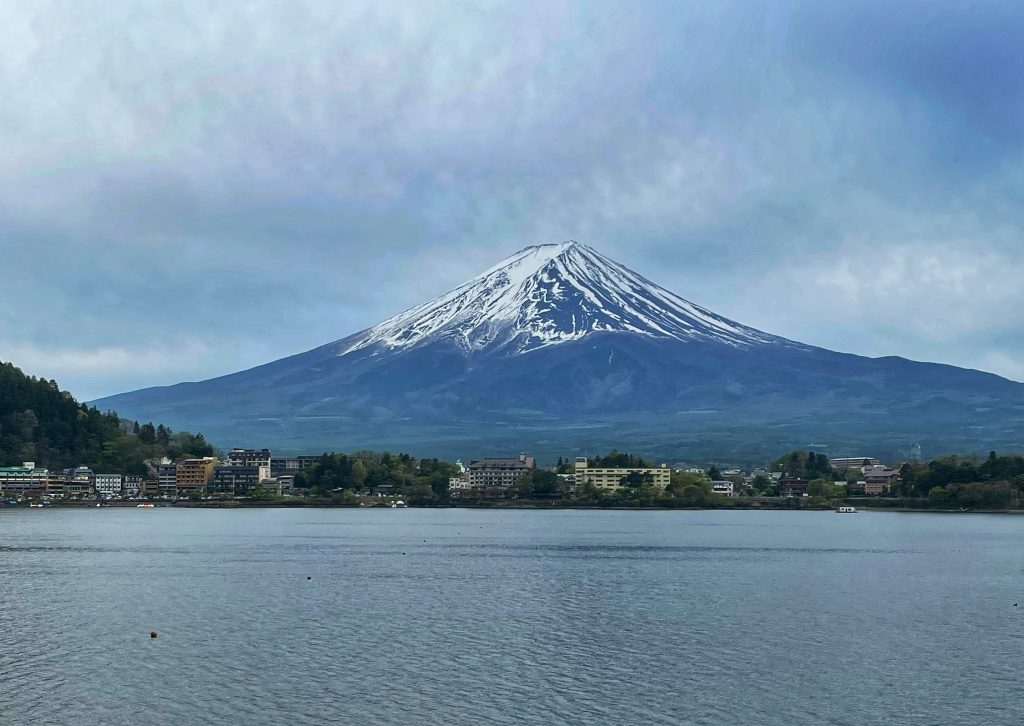
    We finished with an exhilarating 15 km descent to our hotel on the shores of Lake Kowaguchi, 104 km with 8406 ft of climbing…what symbology for the completion of our bike trip….we bow to you Fuji San!

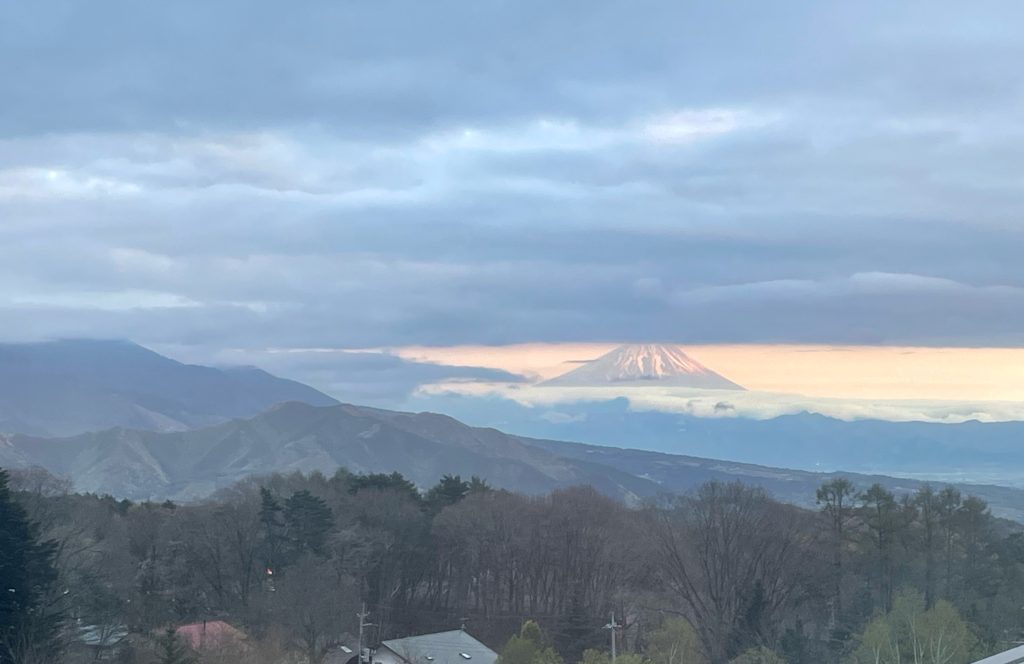
    The view from my hotel room after arriving at 4 pm…
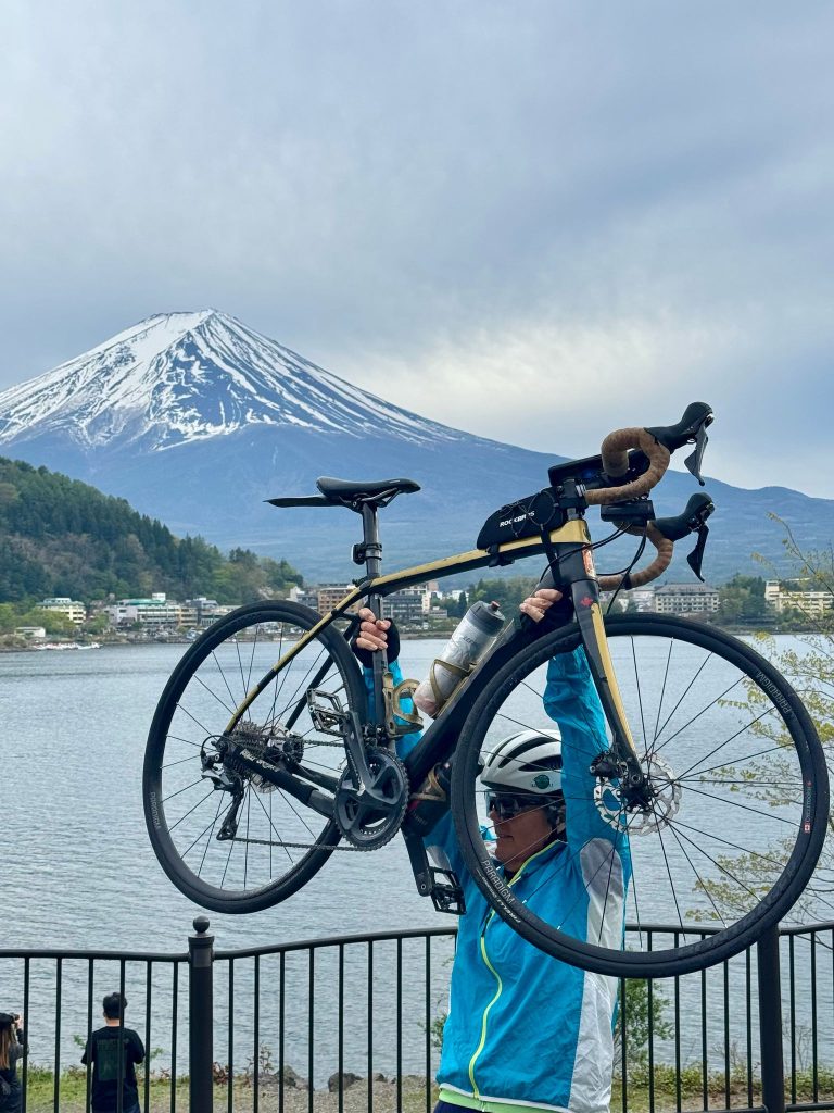
    A spectacular and challenging day to finish. 
    Exhausted but happy to have accomplished what for many reasons could have been the toughest cycling I’ve ever done.
    Tiles

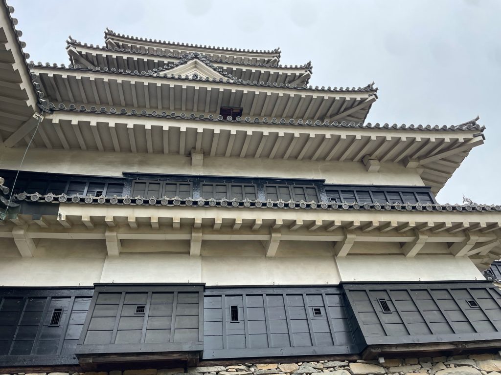
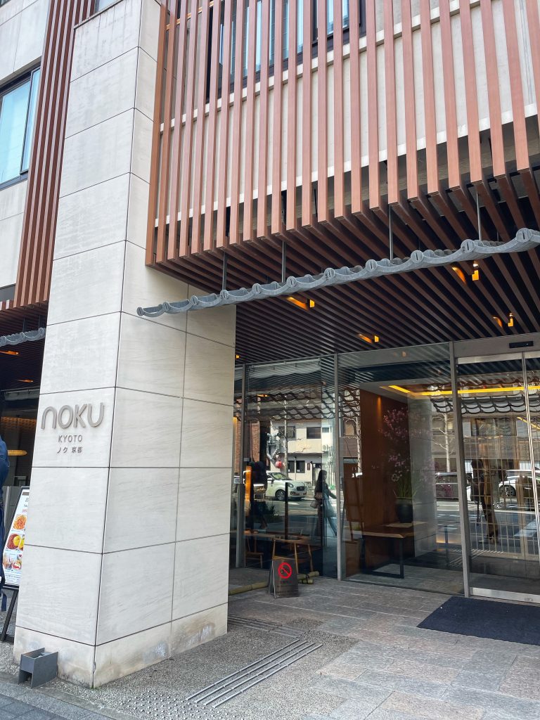
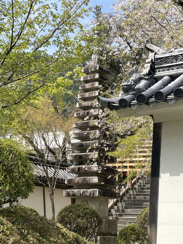
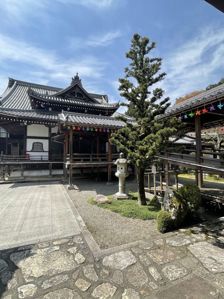
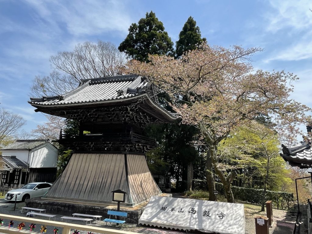
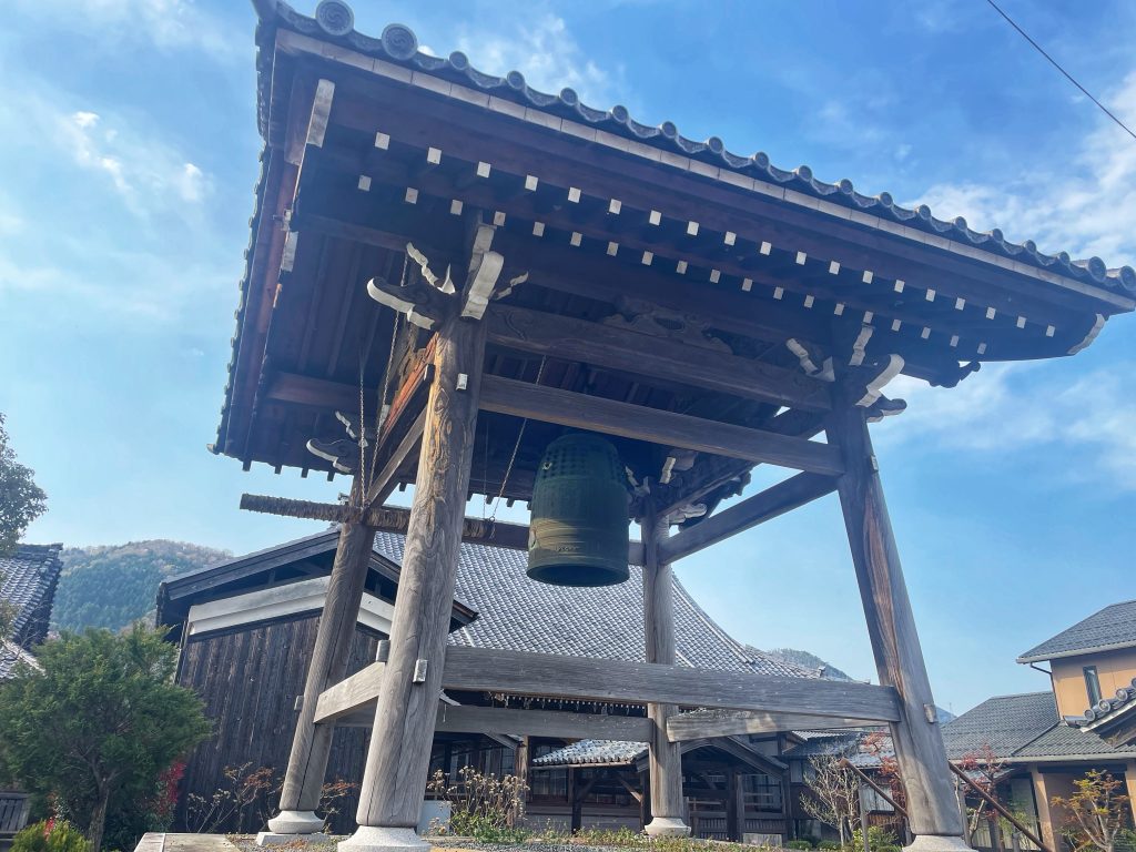
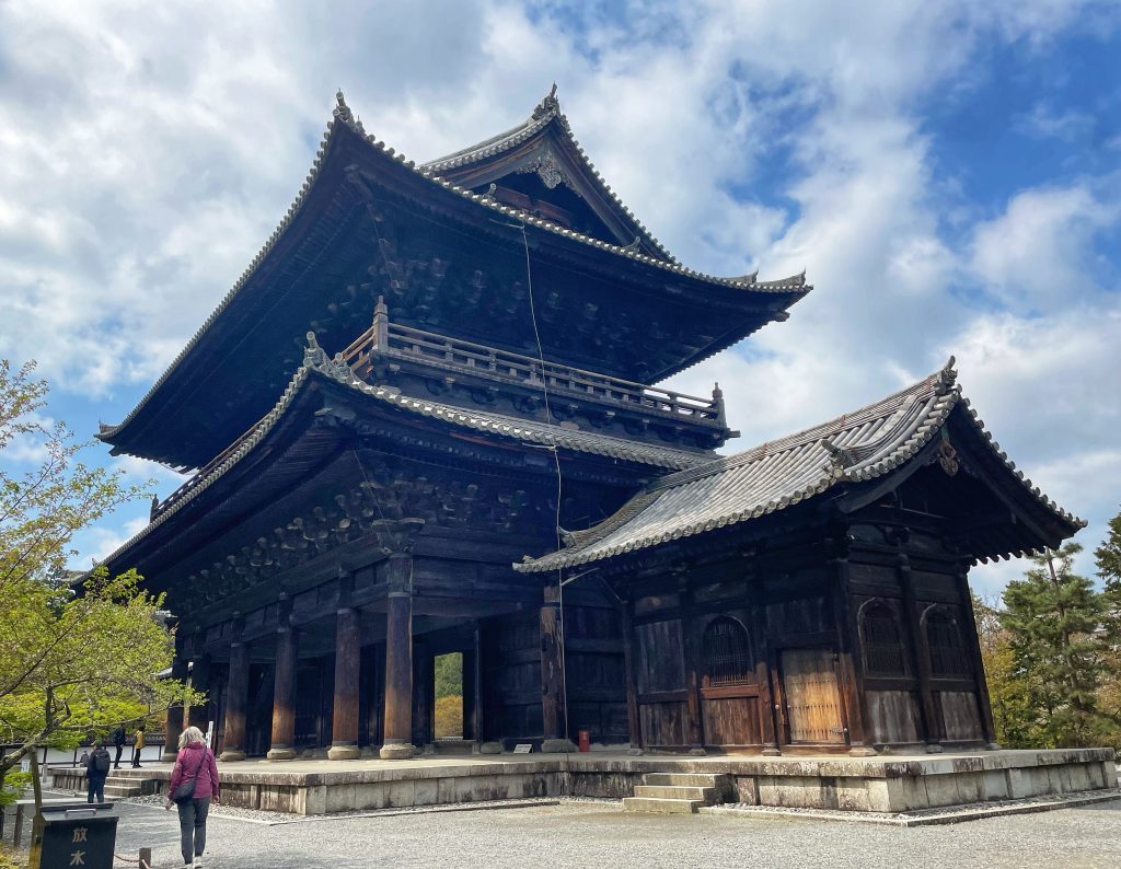
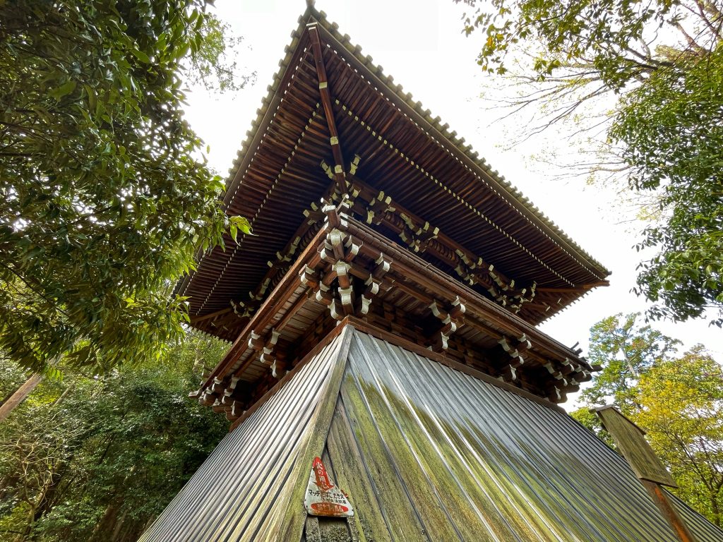
    The Japanese roof tiles, called kawara, are one of the most noticeable elements of the Japanese landscape, especially in Kyoto, which still has many traditional houses. These roof tiles have high cultural importance, since they have been decorating the Japanese scenery for more than 1,400 years. There is some evidence that the Japanese started using kawaraas early as the 6th century, after the introduction of Buddhism by an ancient Korean kingdom. Buddhism brought with it new architecture and special building methods, one of which was the kawara roof tiles. Although many people think the tiles are made out of some kind of metal, they’re actually fired clay.

    Through the hundreds of years that the Japanese have been using kawara, the compound for the tiles has evolved to fit the local climate and environment. In a country like Japan, which suffers greatly from natural disasters such as typhoons and heavy rains every year, along with occasional earthquakes and fires, the building method was adjusted for these unexpected events. Today, kawara are used for roofing in traditional Japanese buildings, such as houses and temples, and are expected to last for around 75 years with only minor repairs.

    Mount Fuji

    Mount Fuji, Japan’s sacred mountain, is a symbol of Japanese culture and one of the world’s most recognisable mountains. 

    Mount Fuji appeared 600,000 years ago as an active volcano (even though it’s still an active volcano, it hasn’t erupted since 1707). During the Jomon Period, there were 4 major eruptions:

    • Sengoku
    • Osawa
    • Omuro
    • Sunazawa

    This was around 3,000 years ago but around 2,300 years ago, the eastern face of the volcano collapsed creating the Hoei-Zan on the south-east of the mountain. The mudflows flowed down to the Gotemba area which is why it was called the Gotemba mudflow.

    Mountain Fuji has been considered a sacred mountain since the 7th century. In the Shinto religion, the emperor gave the order to destroy its summit to release the elixir that it contained. The smoke escaping was this elixir.

    Mount Fuji is also home to Konohanasakuya-hime, the goddess of Mount Fuji and all volcanoes. This is why there are several shrines on the mountain.

    There were sixteen recorded eruptions between 800 and 1083 during the Heian era. Periods of inactivity at Mount Fuji can last for centuries like between 1083 and 1511.

    The most recent eruption was recorded in 1707 in the Hoei era. This was known as the great Hoei eruption and took place 49 years after the Great Hoei earthquake, one of the biggest earthquakes to have ever hit Japan. This created three new volcanic vents. This eruption caused lava flows and spread volcanic ash across the Edo region (now Tokyo) sixty miles from the volcano. This was a 4 on the Volcanic Explosivity Index.

    Since the last eruption, earthquakes are monitored, with the last one of note being a 6.4 on the Richter Scale in 2011. These natural catastrophes haven’t stopped the Japanese from regularly climbing the mountain.

    An Object Of Religious Worship

    Mount Fuji has occupied a prominent place in Japanese religions since ancient times. The first ascent of Mount Fuji was thus, according to legend, made by En no Gyoja in 663, a monk who founded the Shugendo sect. A temple dedicated to the fiery goddess was built there in 806, which feeds the theory that the name Fuji comes from the word ainu “fuchi”, which means fire. During the Heian period (794-1185), the Court gave an honorary rank to the mountain in order to appease it, which was moreover venerated like Shingen Okami.

    It was during this same period that the mountain became a center for Shugendo teaching and that the practice of ascension by ascetics developed, and even opened to laymen from the Muromachi period (1333-1573). This openness to ordinary Japanese was accentuated during the Edo period (1603-1868) with the creation of the Fuji-ko sect by Hasewaga Kakyugo, draining populations from the Kanto to the sacred mountain. A popularity which still cannot be denied today.

    The Ubiquity Of Mount Fuji

    The influence of Mount Fuji in Japanese arts and letters also goes back a long way. You can find a description written about the mountain in the man’yoshu (-760) – the oldest compilation of Japanese poems composed between the 4th and 8th centuries. Mount Fuji is also mentioned in other classical writings as the Ise Monogatari, compound 9th century, or the Taketori Monagatari ( “The Tale of the Bamboo Cutter”) dated 10th century. In modern times, both Natsume Soseki and Osamu Dazai used Mount Fuji as inspiration for their work.

    It is in the graphic arts, and in particular through print, that Mount Fuji best expresses the importance it has in the Japanese artistic imagination and where it acquired an international reputation. The most famous works are obviously those produced by Katsushika Hokusai (the thirty-six views of Mount Fuji, where we find, for example, the Great Wave of Kanagawa) or the five-three stations of Tokaido by Utagawa Hiroshige. A large number of more minor prints also took Mount Fuji as a subject, further increasing its status as an art figure.

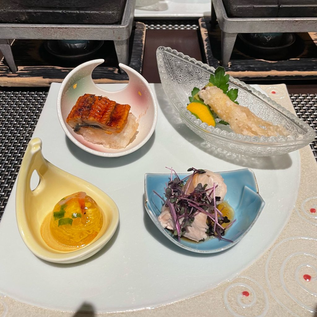
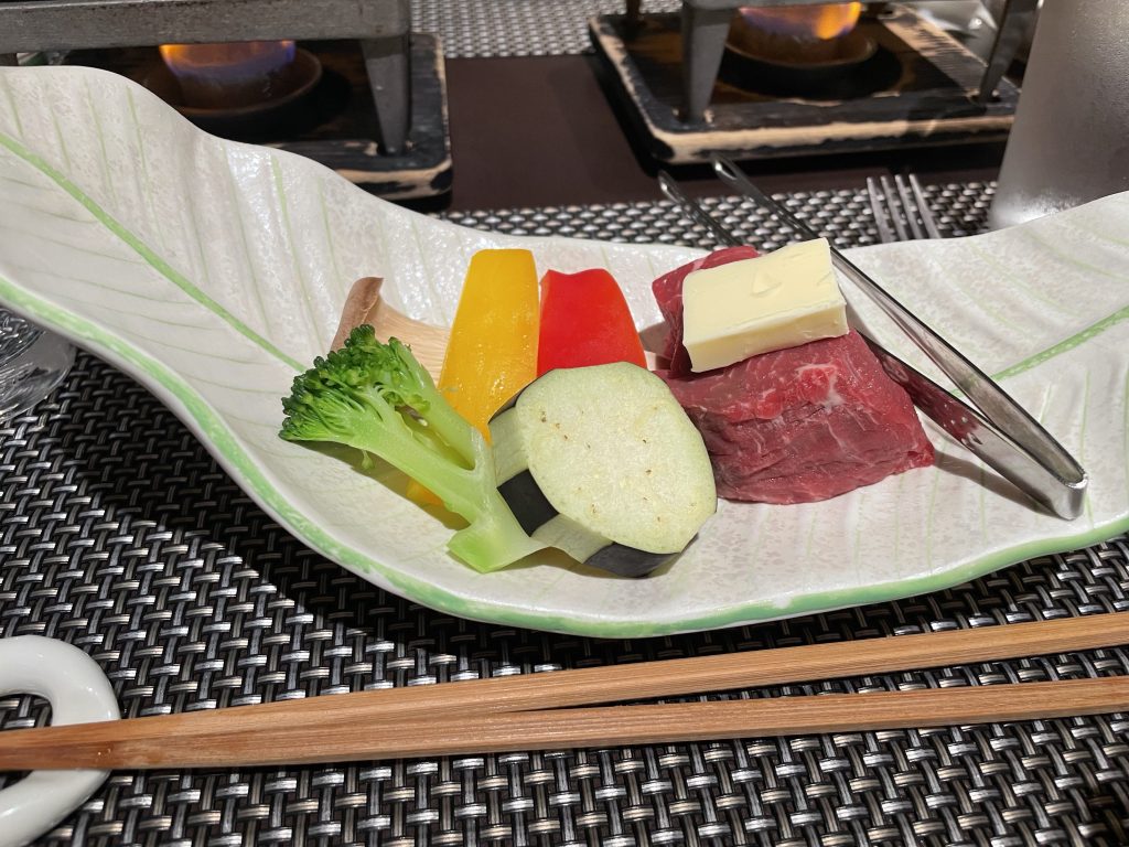
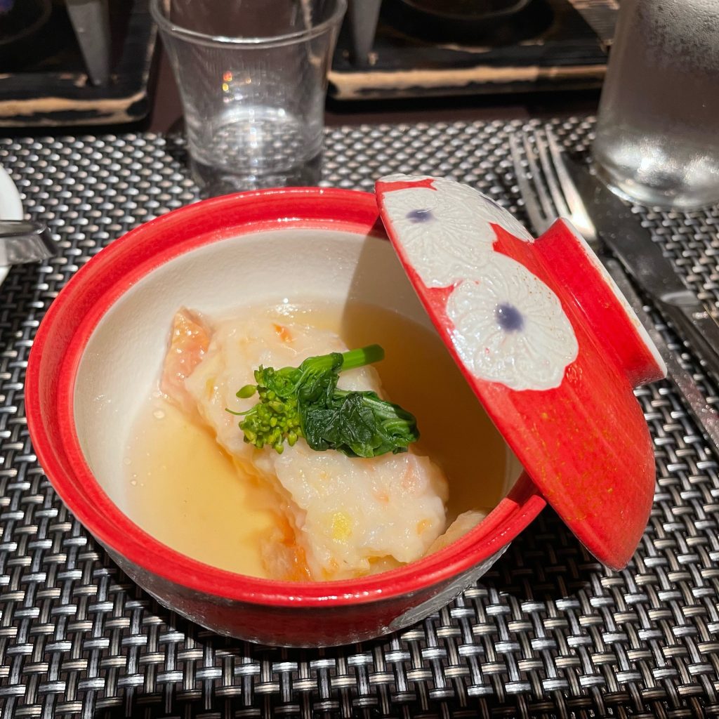
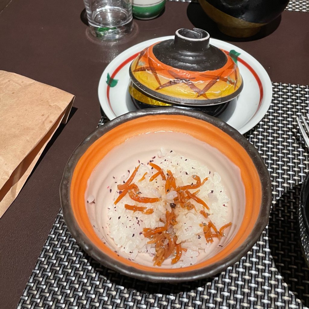
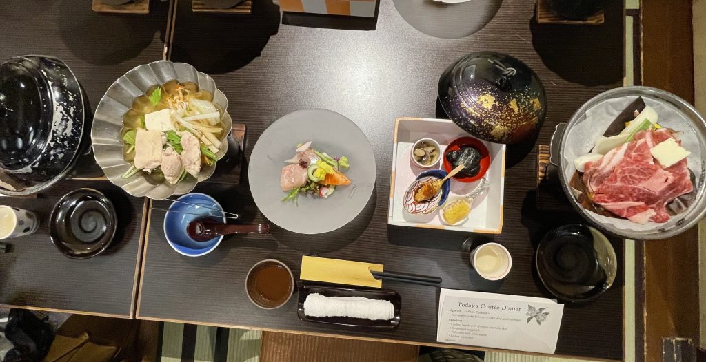
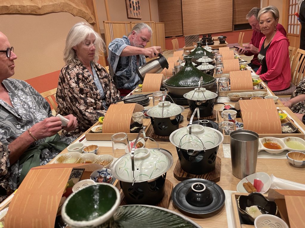
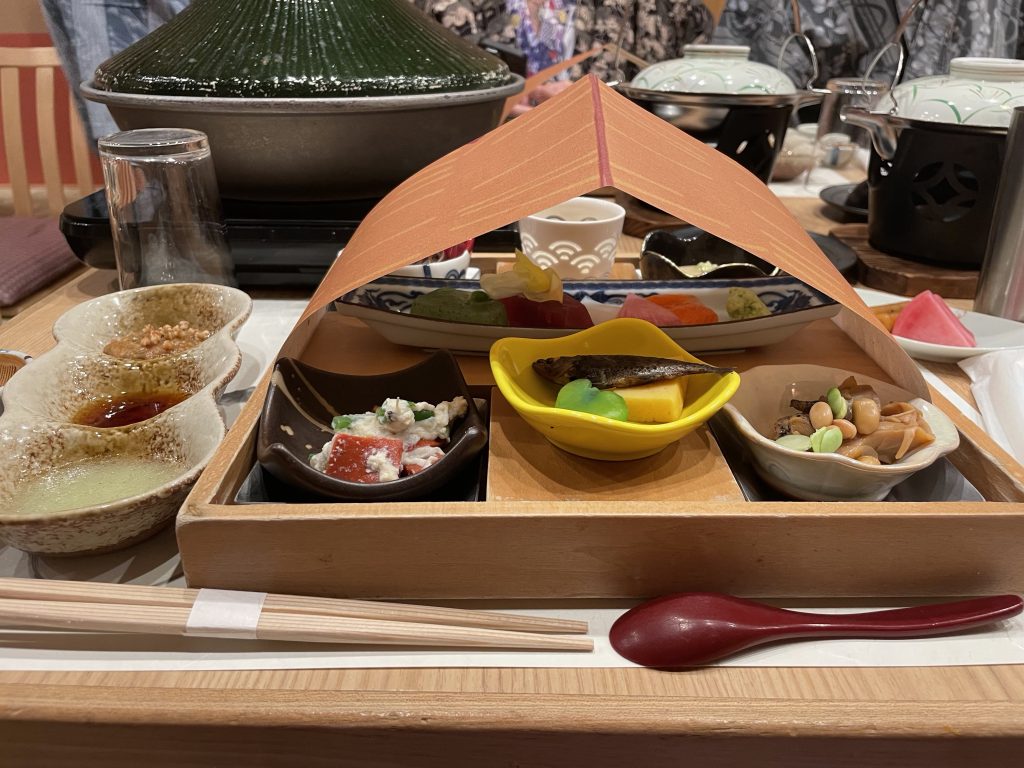
    Our final team dinner…great food, new friends, good times!
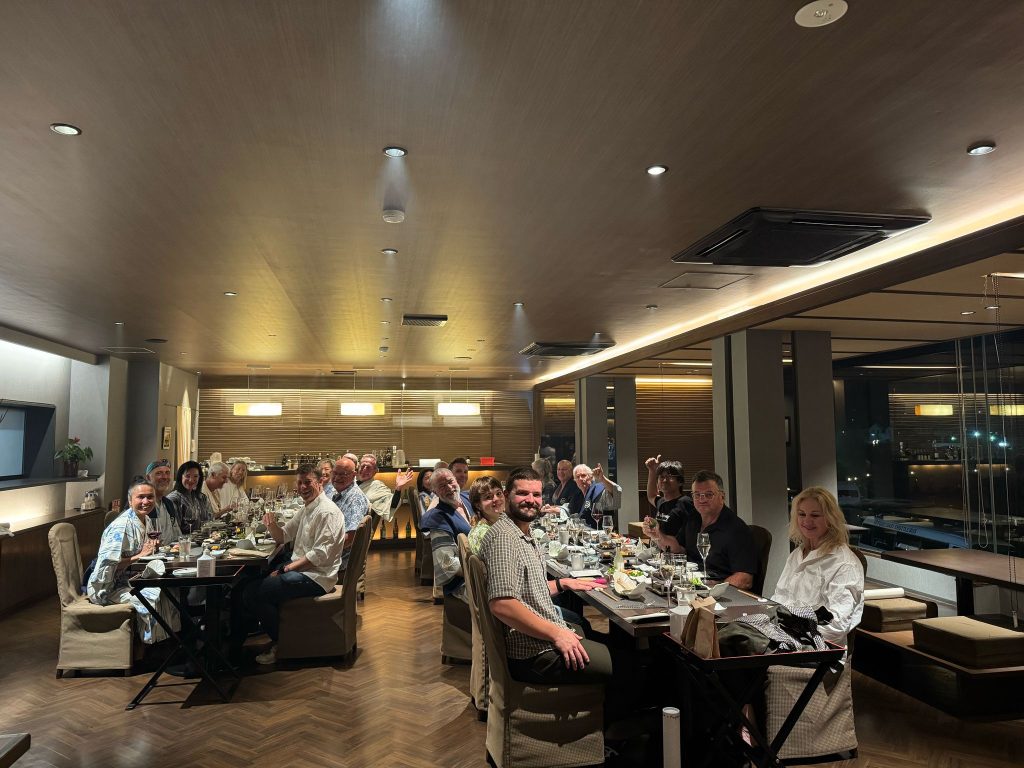


    Life is good in Fuji!

    Sayonara

    We think of Mt Fuji as this gigantic volcano, but is it really??

  • Shogun Day 25: Matsumoto to

    Watch the Relive video here: https://www.relive.com/view/veqzd1rEXBO

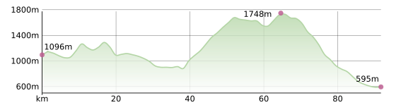
    On the Road – Distance 92km / 57mi | Elevation 1867m / 6125ft

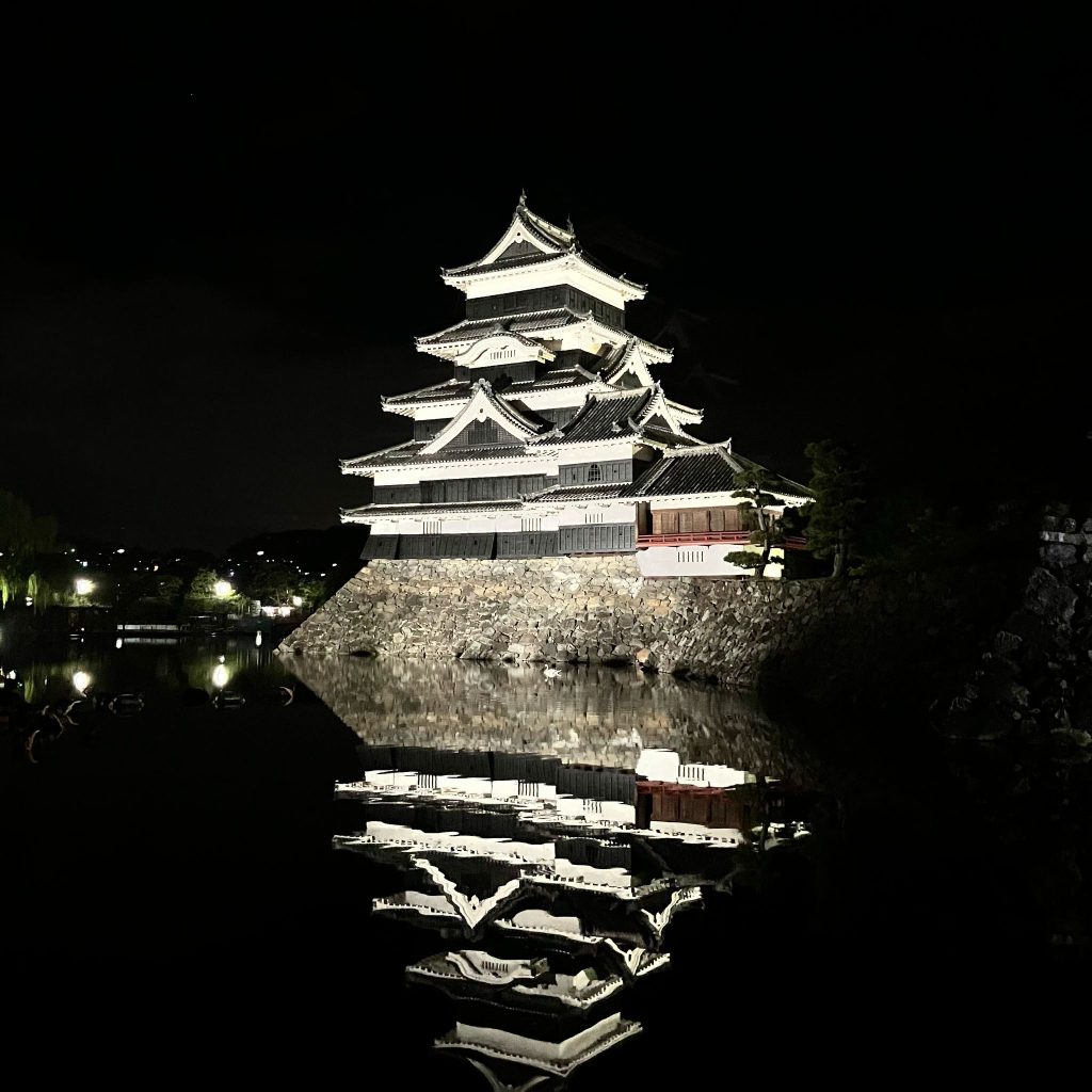
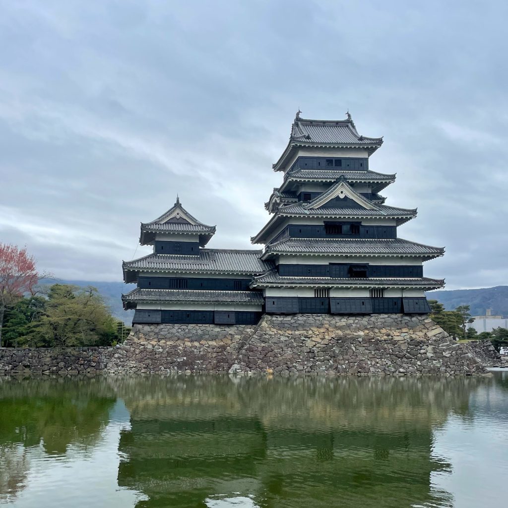
    Matsumoto Castle bidding farewell…

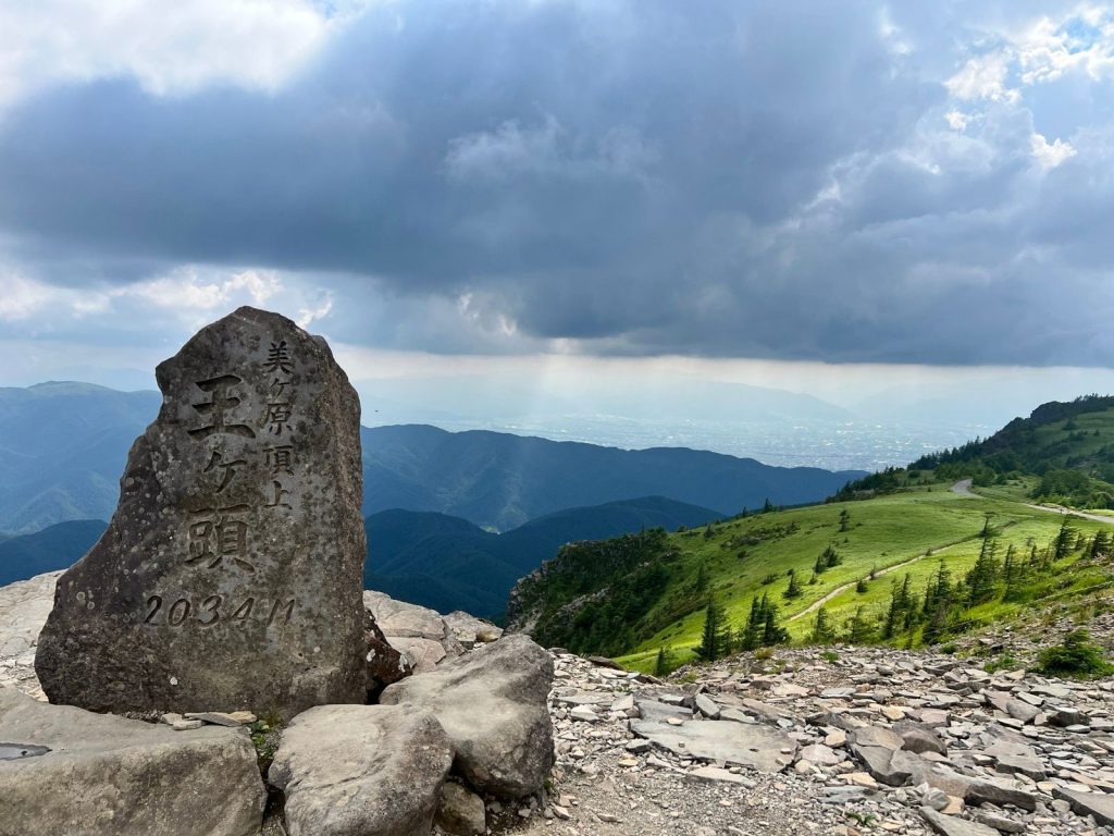
    A challenging but beautiful day riding towards the Kirigamini and Utsukushigahara Highlands (translates literally as ‘Beautiful Highlands’).


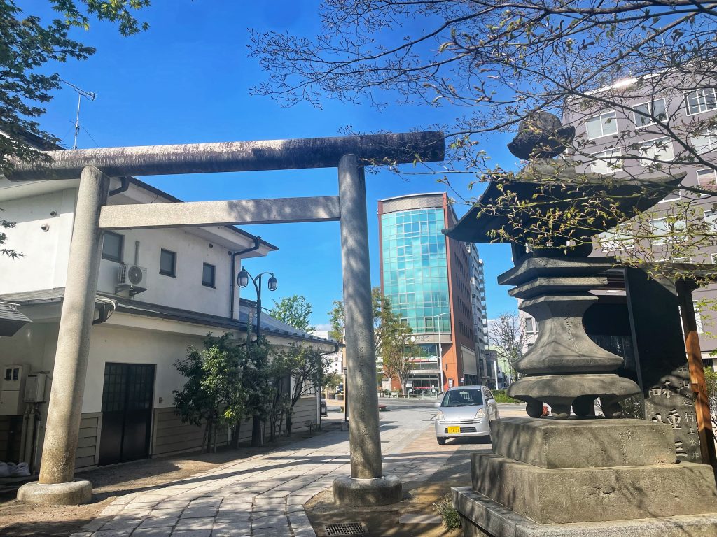
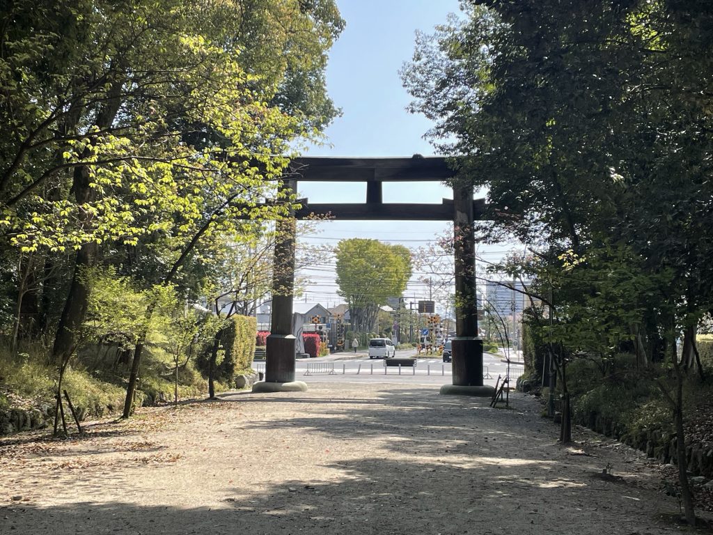
    A sumptuous breakfast and off we rode through Torii Gate of Matsumoto and off to the mountains…


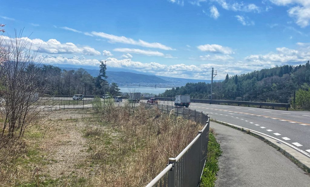
    We climbed right from word go and was a day of climbs and clinches, spattered with some great descents and just one singluar flat 13kms late morning along Lake Suwa.

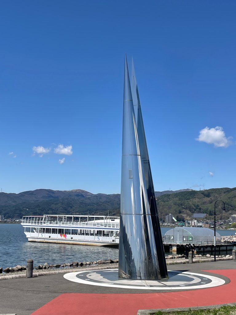
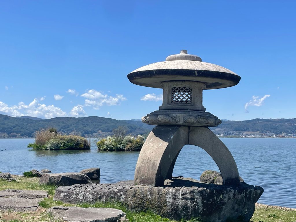
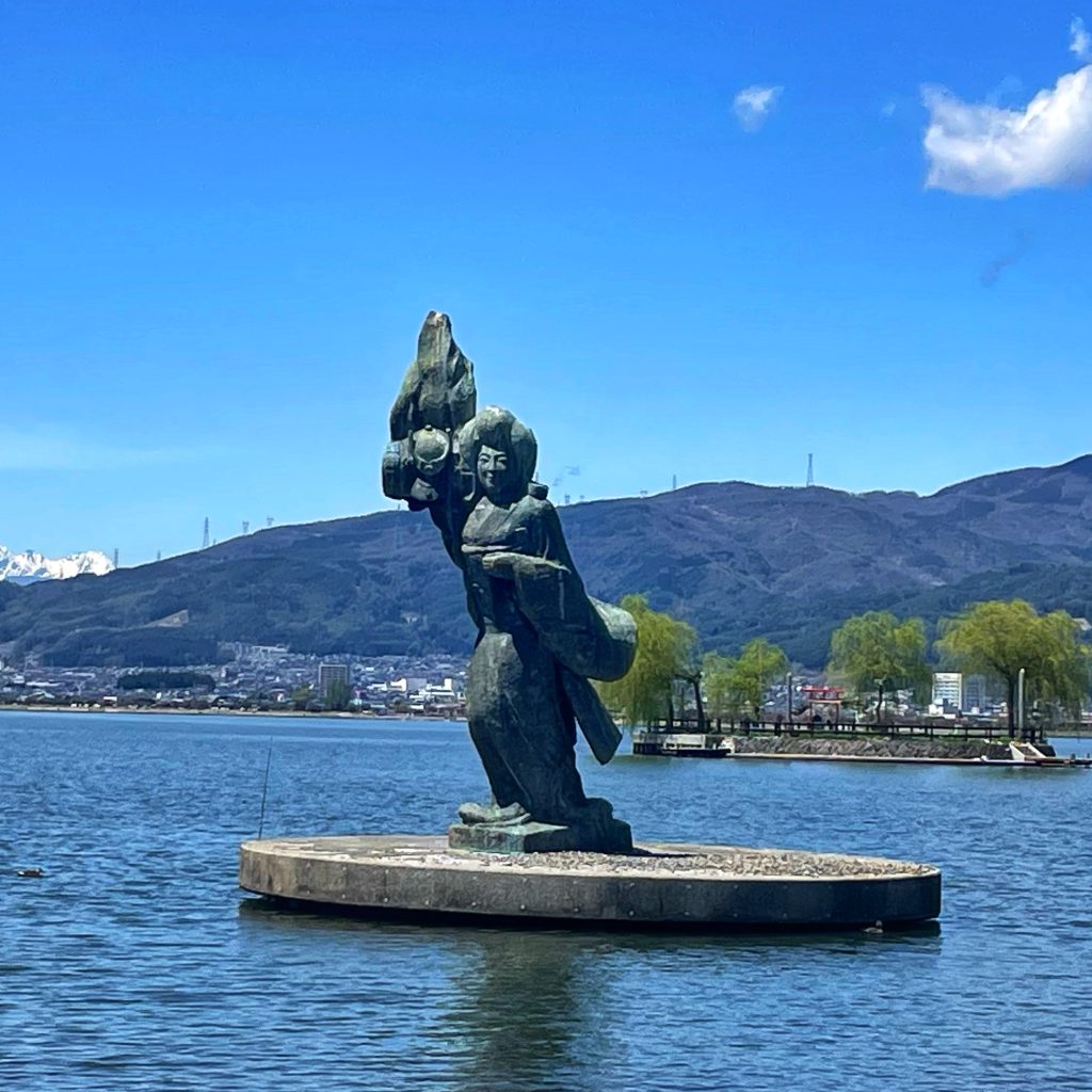
    Lunch along Lake Suwa..


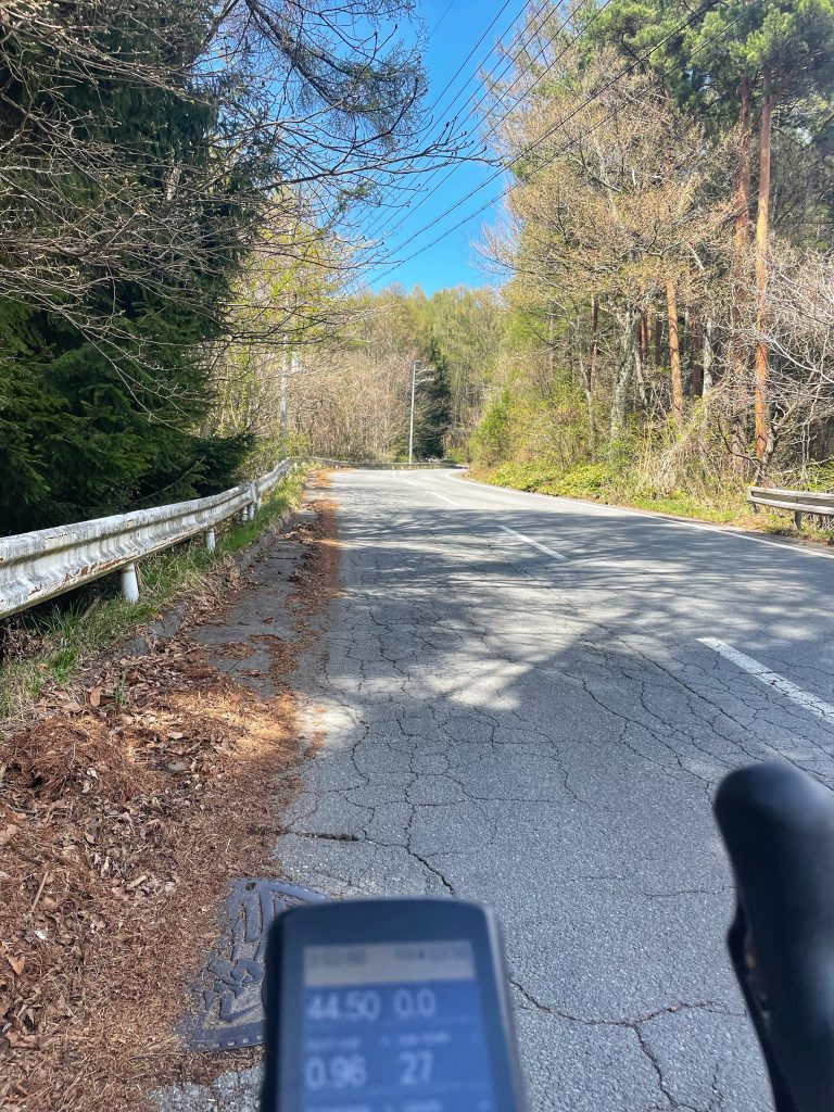
    I should not have eaten so much because shortly after lunch had a 5km climb @9% with the first 1km at 16%….it hurt!


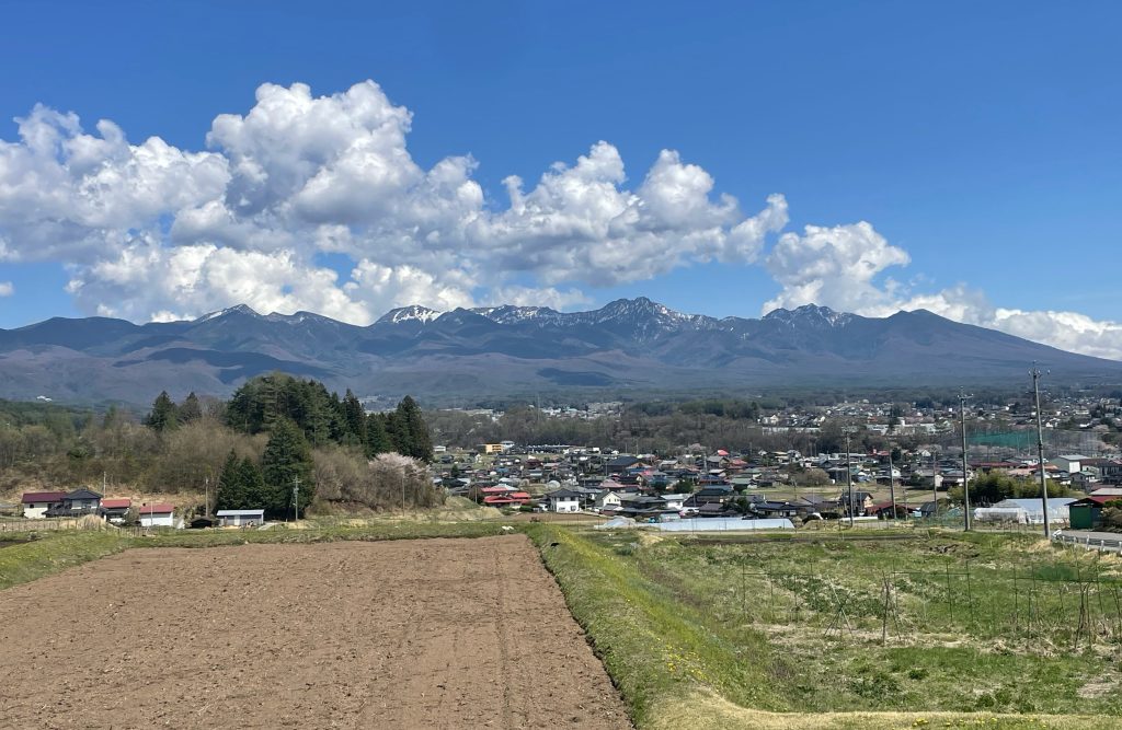
    Our route skirted the Ougatou ‘King’s Head’, which crosses Mt Kirigamine and the Tobira Pass and ended with our traverse through densely forested roads with glimpses out over the valley. It is an amazing view which will have accompianied us all day today. We saw the towns below interspersed with rice paddies…..the epic Japanese Alps on the other side of the valley, with the rolling hills of the Venus line and even the occaisional sight of Mt Fuji when you spot a gap in the foliage!


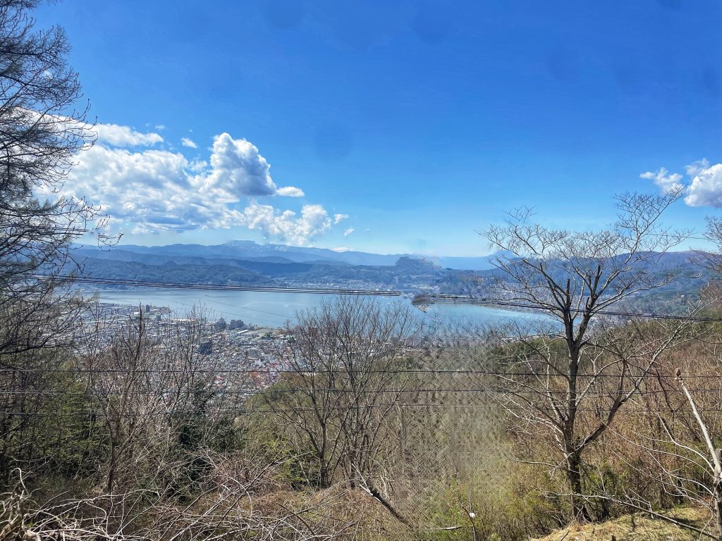
    Our first opportunity to see Fuji San was along Lake Suwa but clouds covered up that chance. But I finally caught my first view of Mt Fuji at Km 67, and even at such a far away distance it was amazing to see!


    A final short descent to our hotel just to finish this challenging day on an easy note.

    Venus Line

    Surrounded by the 3,000-meter-high mountains of the Japanese Alps, Nagano Prefecture is called “the Roof of Japan.” Its gorgeous alpine scenery and breezy highlands attract visitors year-round.

    In Central Nagano, several highland areas extend from the base of the Yatsugatake mountains past Lake Suwa towards Matsumoto. Ranging in heights from 1,400 to 2,200 meters, the lofty plains here have panoramic views of the Northern, Central and Southern Alps. They’re the perfect place to escape the summer heat and enjoy a scenic drive. On these roads, you’re at eye level with the clouds – like you’re riding through the sky.

    Chino City is at the entrance to these highlands and this is where we turned up into the hills!

    The hunt for FujI San is on! We search him out tomorrow!

    Life is Good in Yatsgatake!

    Sayonara

  • Shogun Day 23: Kiso to Matsumoto

    Watch the Relive video here:https://www.relive.com/view/vAOZ7wEdyo6

    On the Road – Distance 75km / 47mi | Elevation 1179m / 3700ft

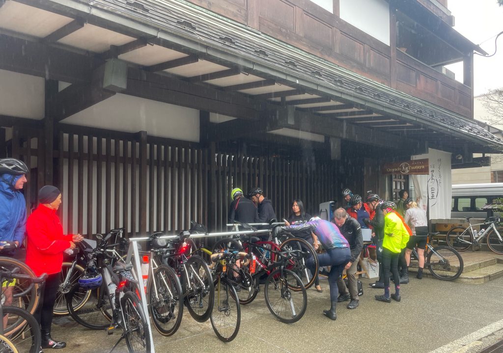
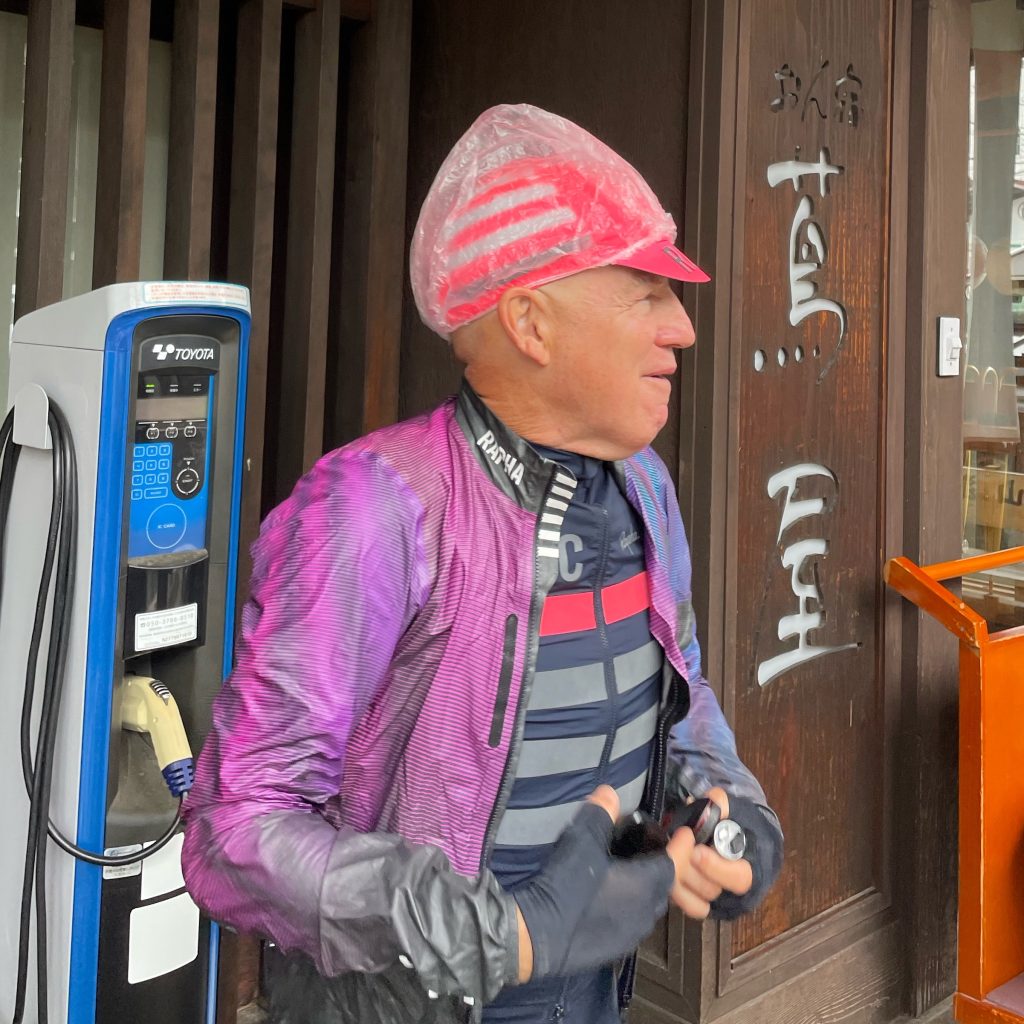
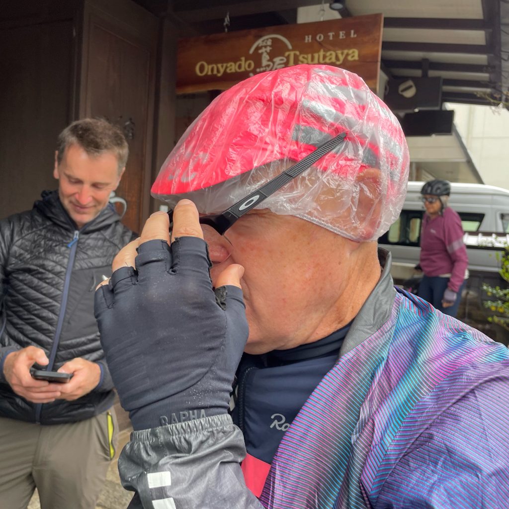
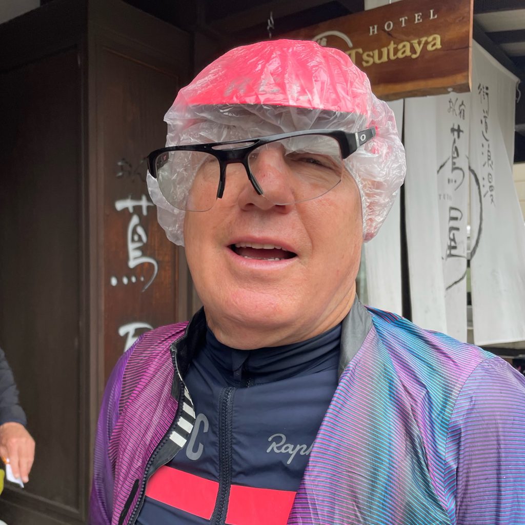
    Rain! We delayed our start by 1 hour to hopefully see the rain stop. It didn’t…Tom experimenting with a hotel room shower cap for under his helmet to keep his head dry. It didn’t.


    Heading on we had a decision to make, potentially directed by the seasonal weather! Our route today depended on whether we could ride the high road or not! It should have been open by now, but if it has been particularly cold spring, and there was still snow in the pass so we had to take the low road!
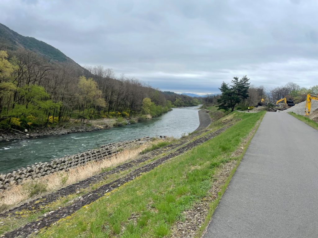
    The Low Road: Coming out of Kiso, the first 10kms were the same for all routes, joining the historic Nakasendo, which we rode on and parallel to a few times in the next few days! Taking the low road, we continued along the valley, following and crisscrossing first the Kiso, then the Narai Rivers all the way until we turned off into Matsumoto.

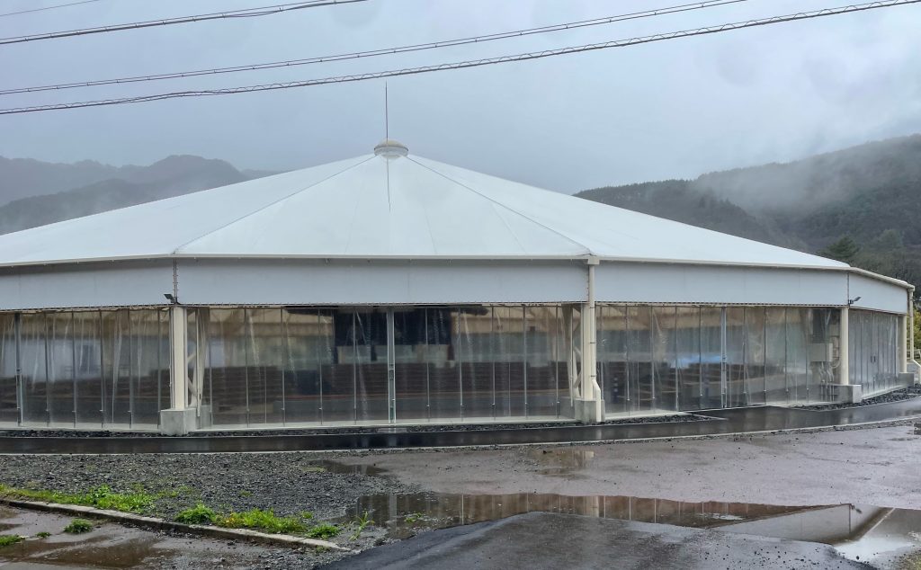
    A sumo wrestling practice centre left below…


    After hitting our day day high at km 30, (with a few small undulations) we descend for a staggering 46kms all the way into Matsumoto, through the famous apple orchards of Nagano which sit at the base of the Alps and glimpsing its famous castle as we headed into the rice paddies.
    But before we did that we had lunch at at cafe at the summit, hot ramen with beef and vegetables, and changed out the wet kit for a dry one.

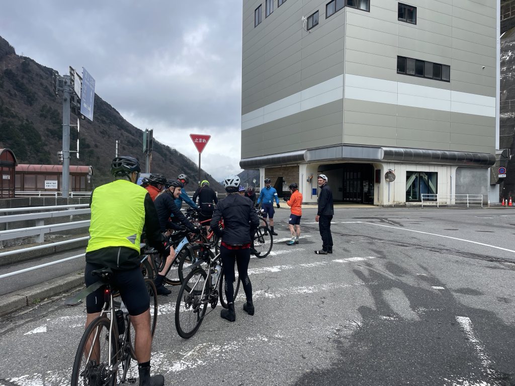
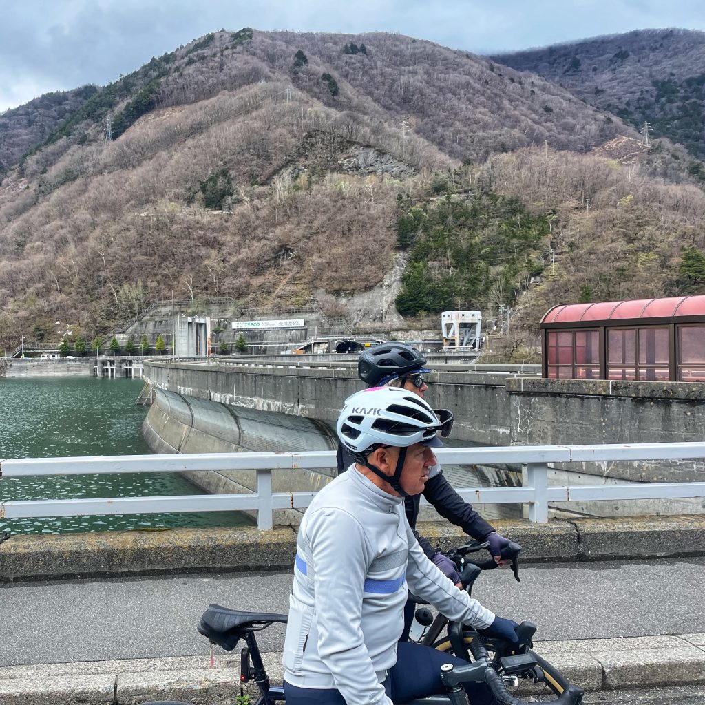
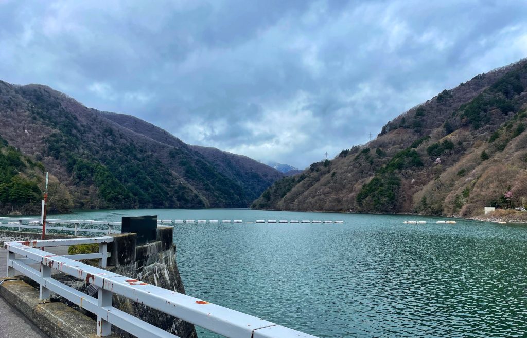
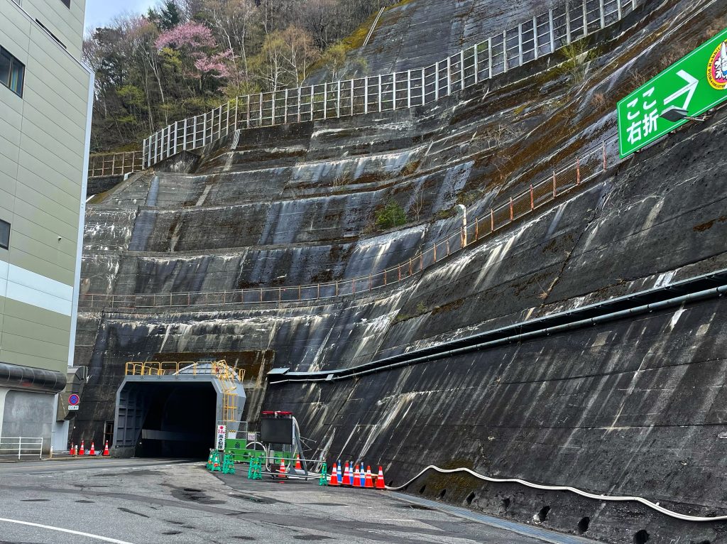
    The descent was rough for the first half but then became quite smooth, speed topping out only at 60km/hr. As mentioned earlier, we rode through 7 more tunnels today, a couple of long ones were dark and only one lane, so we regrouped at a dam and went through en masse.


    There was an extra high road option but on the highest paved road in Japan, the Norikuradake Super Forest Road, but the weather was rainy and foggy so not worth the climb


    Mt Norikura

    Mt. Norikura is a massive volcanic mountain that, despite its 3,026-meter height, is known as a relatively easy hiking climb. Ascend the mountain, rising through birch forest via Japan’s highest road, beyond the tree line at 2720m. Lucky visitors might catch a glimpse of Japanese rock ptarmigans, alpine birds that have become beloved mountain mascots.

    Each season awards visitors with breathtaking scenery. Alpine flowers bloom in abundance from early June to mid-August, and stunning autumn foliage reigns from mid-September to the beginning of winter.  

    Mt. Norikura rose to fame in Japan’s cycling community in 1986 with the first Norikura Hill Climb held on the Echo Line. The race’s twisting curves and spectacular scenery are reminiscent of the Tour de France’s Alps and Pyrenees courses. Held the last weekend of August, the annual race now attracts more than 4,000 participants—from elite racers who complete the course in less than an hour to amateur cyclists who simply wish to conquer the peak. Many return year after year to improve their own best times.

    In 2004 the Norikura Skyline Cycle Hill Climb in Gifu was added to the regional cycling calendar. This 18.4-kilometer-long course climbs 1,342 meters and has an average gradient of 7.2 percent. It, too, attracts cyclists of all ages and abilities, some of whom even don costumes to participate. Recently the race has introduced a category for electric bikes, meaning that even less athletic participants can race to the summit—with a little electro-mechanical assistance.

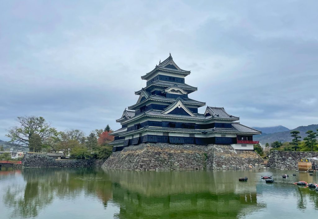
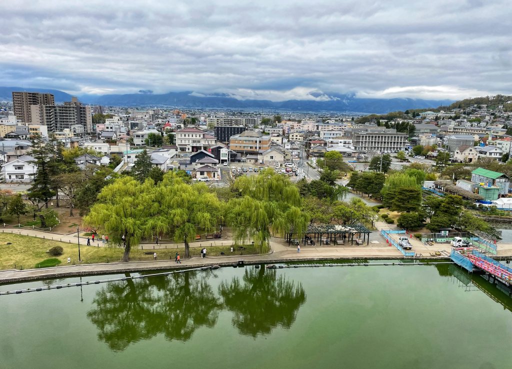
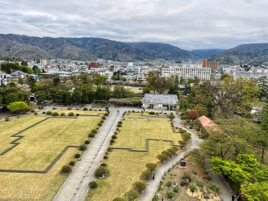
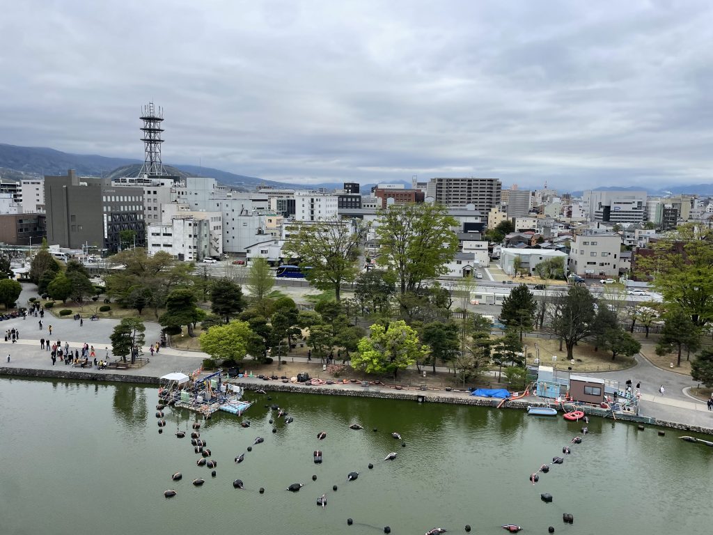
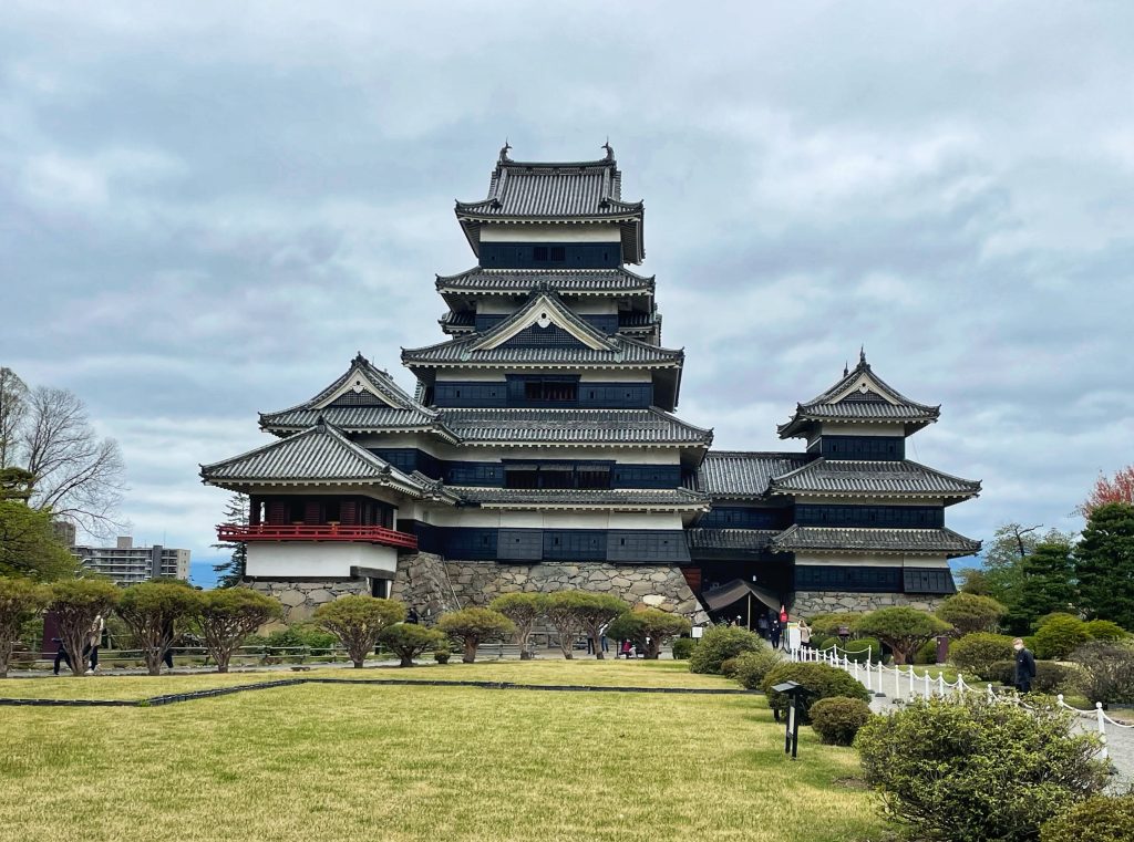
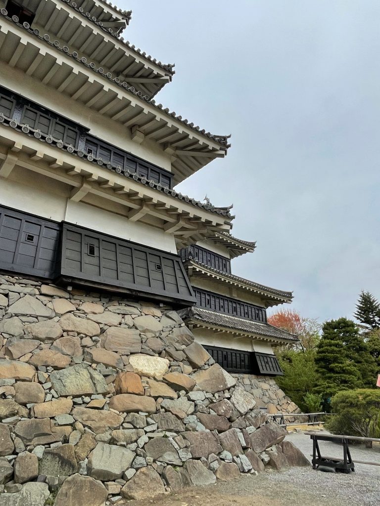
    The last km of the ride took us past the Matsumoto Castle

    We racked the bikes at the hotel and walked a few blocks back to tour the Matsumoto Castle, the largest in Japan and entirely in its original form (no elevators or easy stairs to get to the 6th floor, just very steep original ones.

    Life is Good in Matsumoto!

    Kenny Wayne Shepherd’s ‘Baby the Rain Must Fall’ seemed appropriate this morning…
    https://youtu.be/h-XxfLQ4wwA?si=FDInZjcFhlDGvY5I

    Sayonara!

  • Shogun Day 23: Takayama to Kiso

    Watch Relive video here:https://www.relive.com/view/vrqDyprwnwv

    On The Road – Distance 85km / 52mi | Elevation 1498m / 4915ft

    For the 2nd day in a row we had to alter our route because of snow blocking some mountain roads. Last night guides Sean and Kusaba scouted the new route in the van. We had more or less main roads but they weren’t that busy.

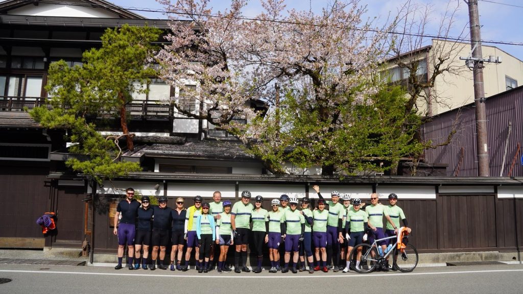
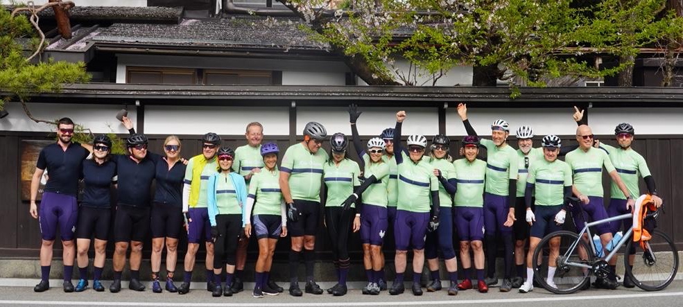
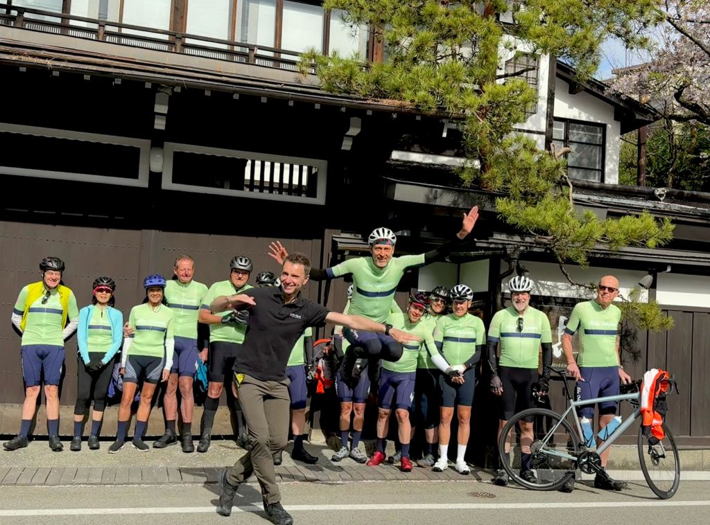
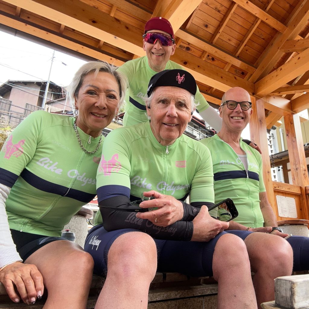
    Before leaving Takayama we finally got a group photo in our Shogun kits


    It didn’t take us long to depart the town and we were soon on valley sroads with views of rice paddy fields and small villages. We took a small hill excursion (of course!) and wind through forest with bamboo undergrowth and rejoined the valley road for a basic coffee at a quirky road station.


    We continued along the same road through several tunnels to our quiet lunch spot before gently climbing to our high point; although the view of the day is from Kuzo Pass.


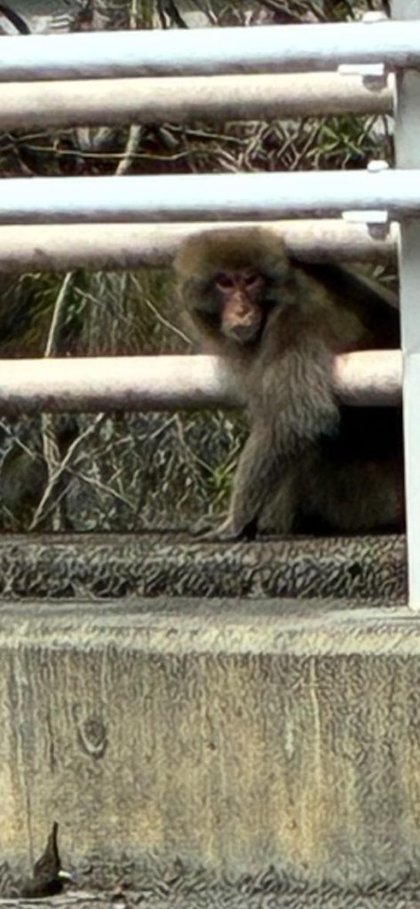
    We kept an eye out for more macaques ( see relive video above)as we descended and rejoined some wider smoother roads in the valley to Kiso Fukushima and the Old Nakasendo.

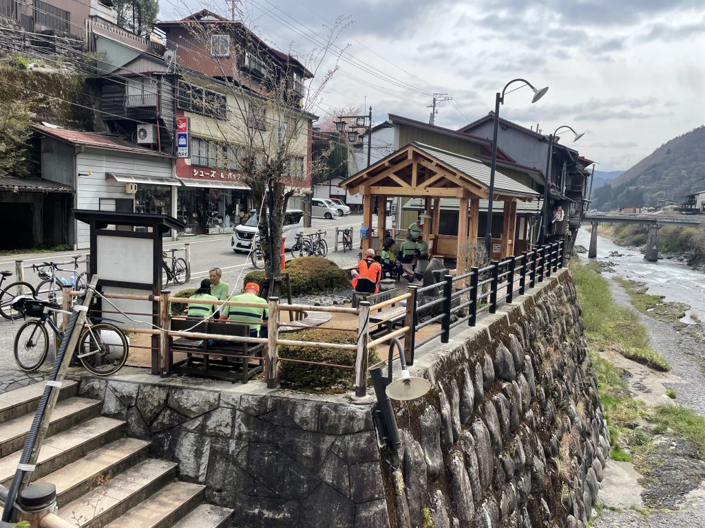
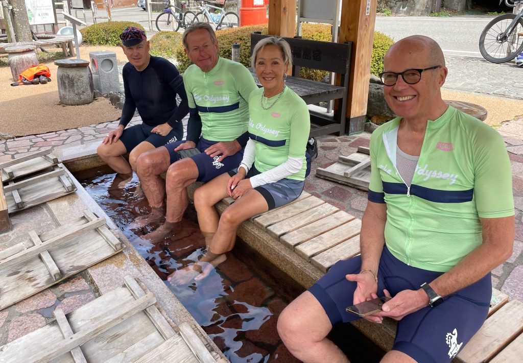
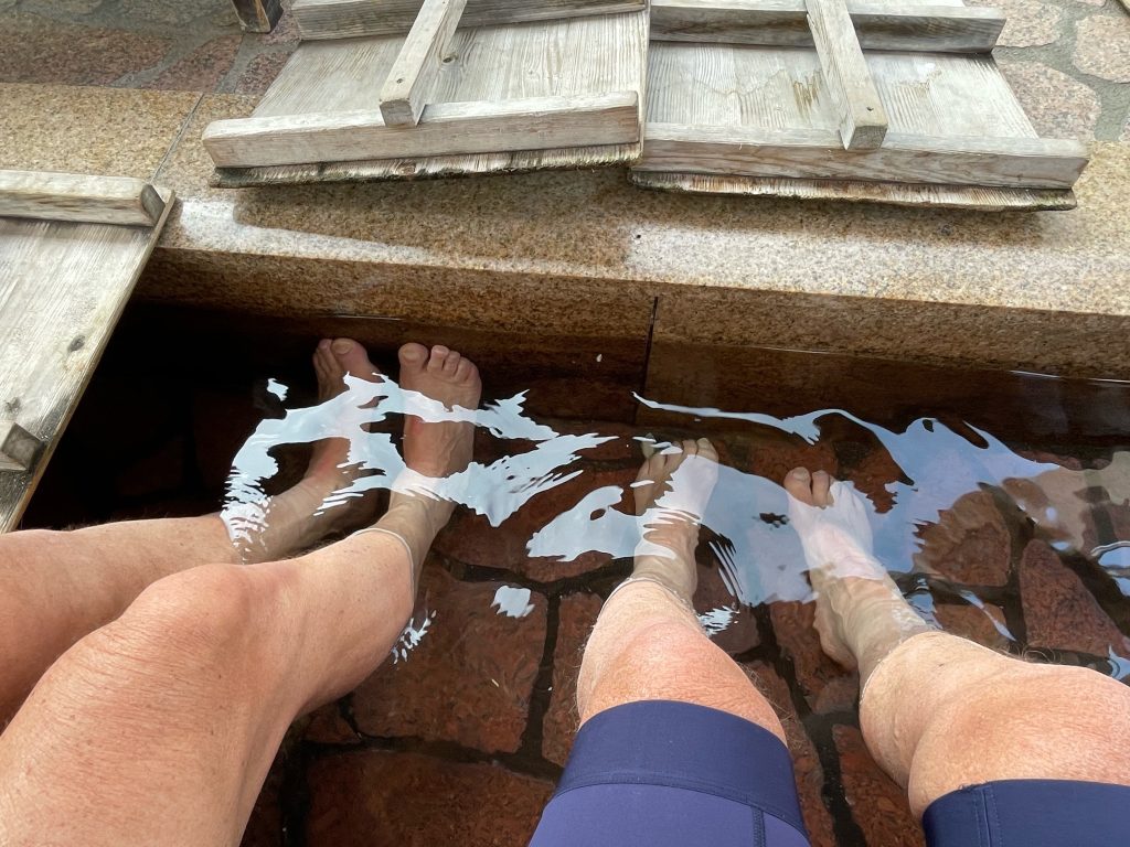
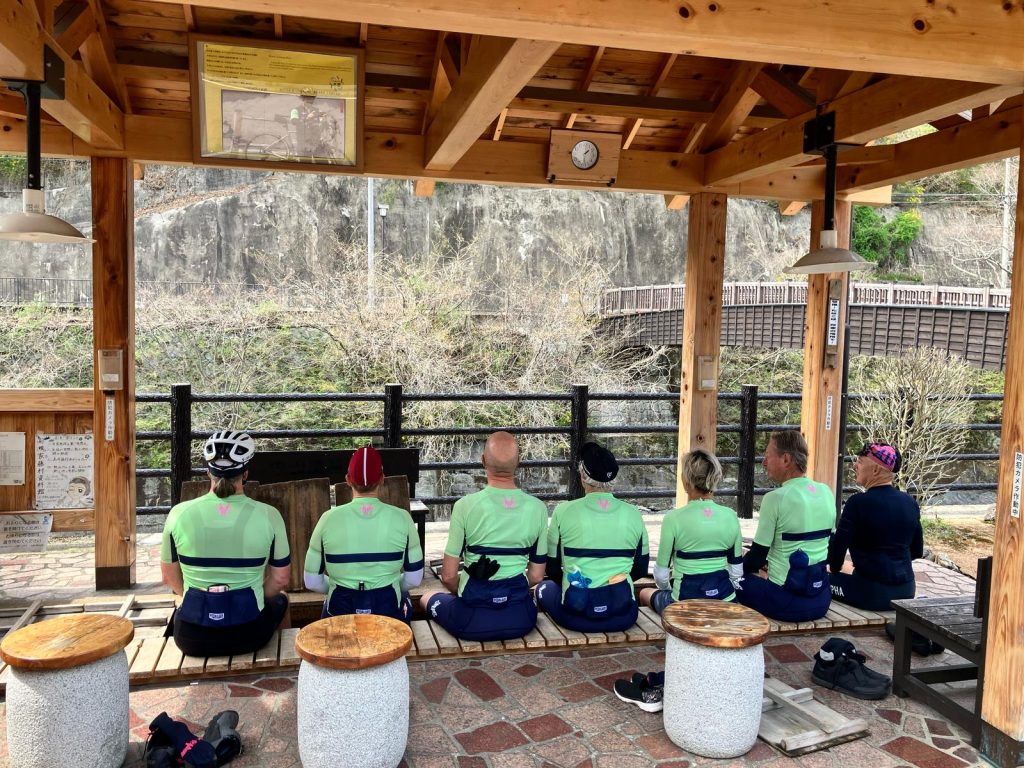
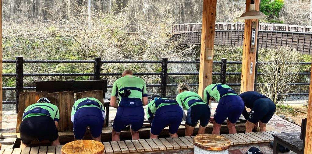
    Just 100 metres from our hotel in the village of Kiso there was a public onsen just for the feet!

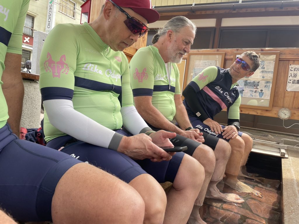
    Because we were early to checking into the hotel, we soothed our feet in the 2ft deep, 42C hot springs water!


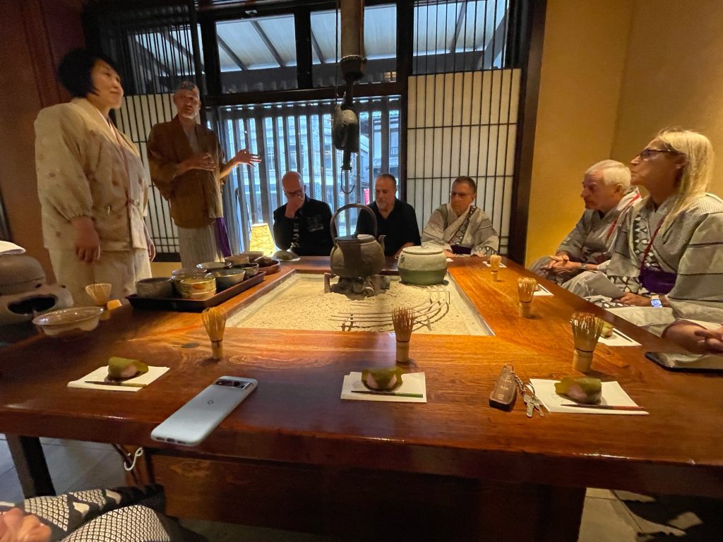
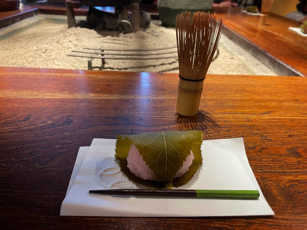
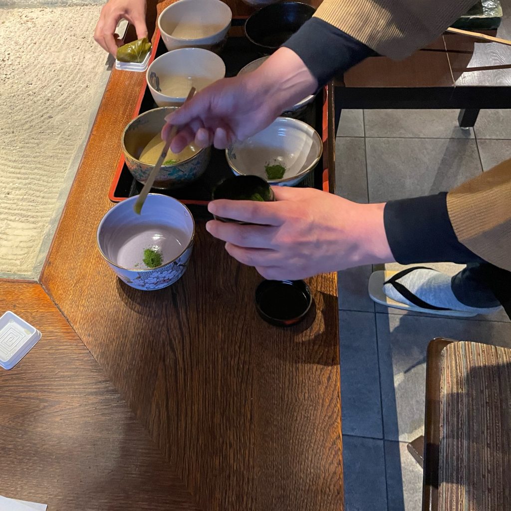
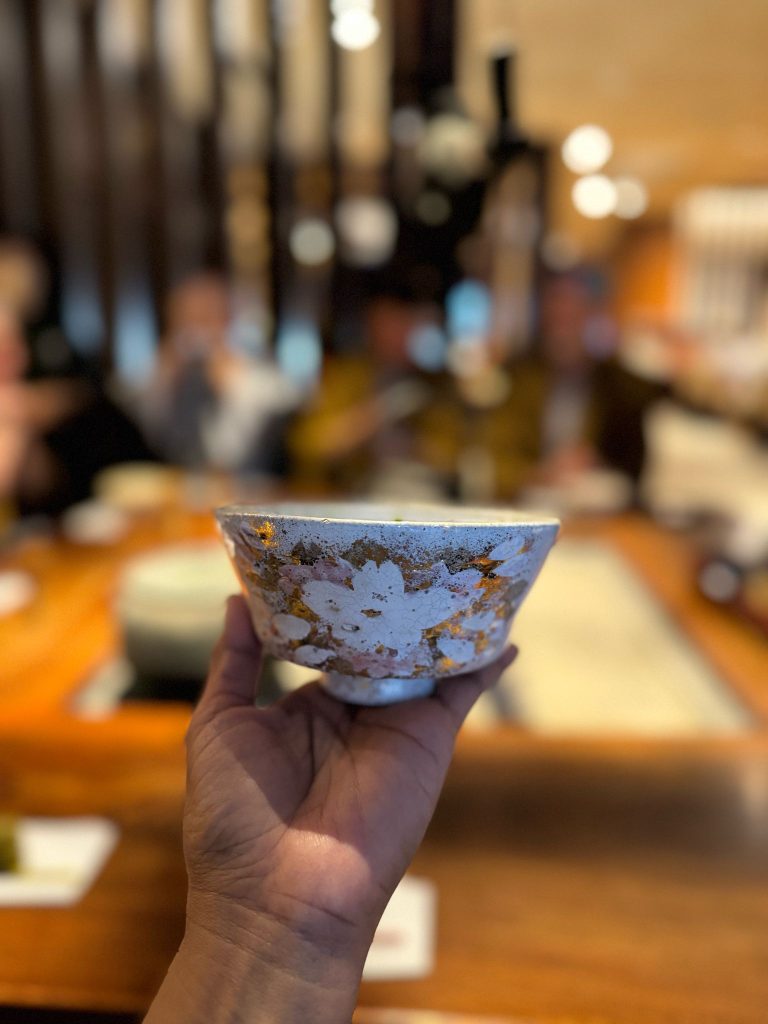
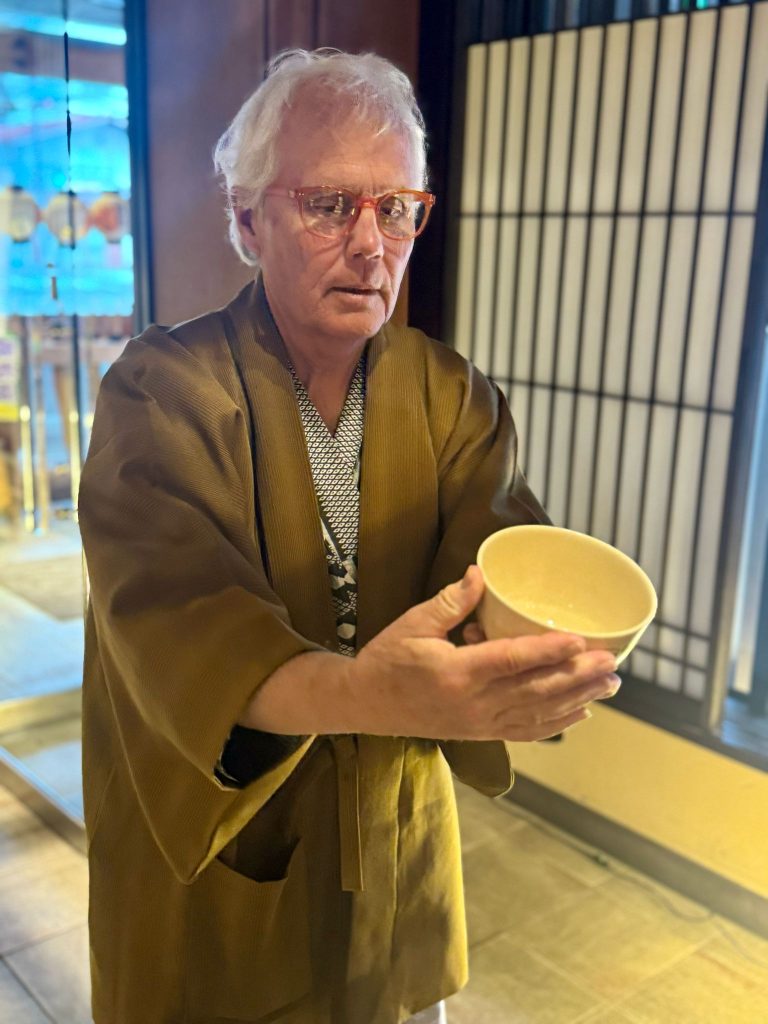
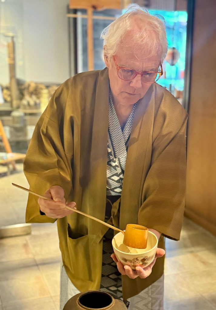
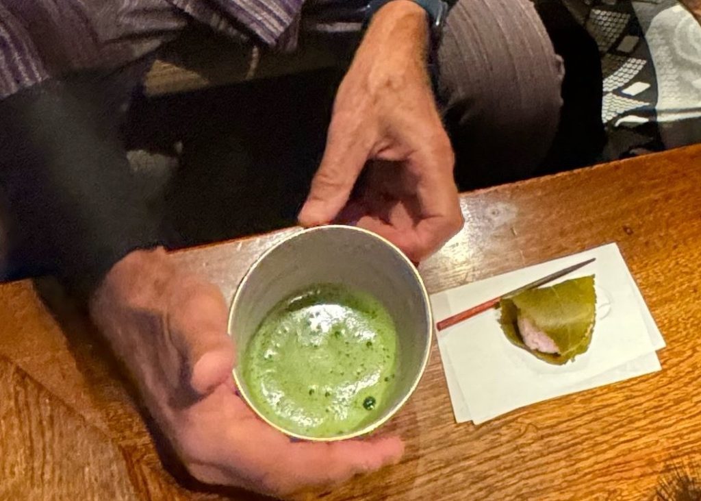
    At the hotel before dinner we were instructed on how to perform a traditional tea ceremony. There is a strict way to make the tea from how to take the water to the bowl, how to whisk it until foamy, and how to turn the bowl with the main design facing away before drinking, then facing it toward you when finished drinking, always holding the bowl in cupped hands.

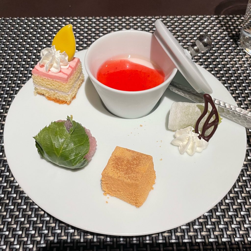
    Matcha tea is quite bitter and so it is served with very sweet rice cake wrapped in young cherry tree leaves (above right).You eat the whole thing, even the leaf before drinking the tea. Only in the spring when the cherry blossoms are out that you have the rice cakes served this way.


    Nakasendo

    The Nakasendo was one of five major roads, known as Gokaido, connecting Japan during the Edo Period (1600-1868). Nakasendo, meaning “inner mountain road,” ran through the center of Japan’s mountainous island of Honshu, linking the imperial capital of Kyoto to the Tokugawa Shogun’s capital in Edo (now Tokyo). In its day, it was an important thoroughfare utilized by Daimyo lords, peasants, traders and religious pilgrims.

    Of the Nakasendo’s 69 post-towns, 26 are located in Nagano Prefecture and some look nearly the same as they did during their hey-day. Traveling on the Nakasendo is a great way to experience Japanese history up close, observe Edo Period architecture and feel what it was like to be a traveler in Japan during that time. Many sections of the Nakasendo are also located in beautiful areas of the Japanese countryside in quaint villages or serene natural settings. 

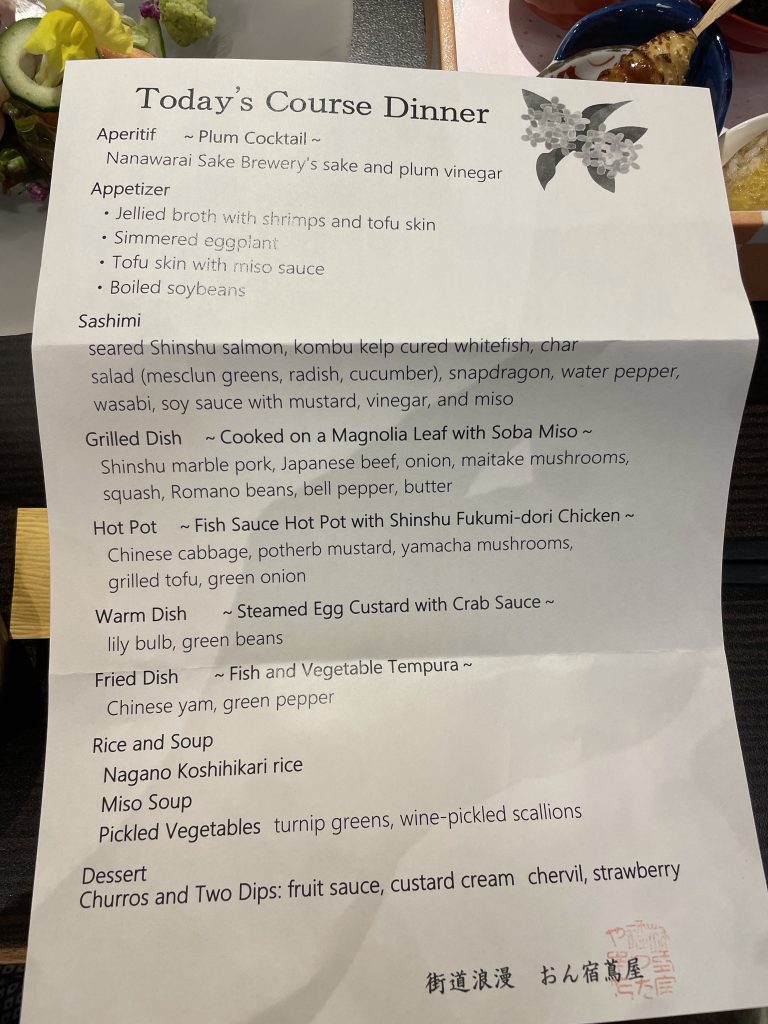
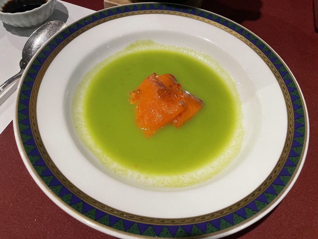
    Dinner was another artistic feast of hot and cold cuisine and tempura …and sake.

    Life is Good in Kiso!


    Sayonara

  • Shogun Day 21: Takayama Rest


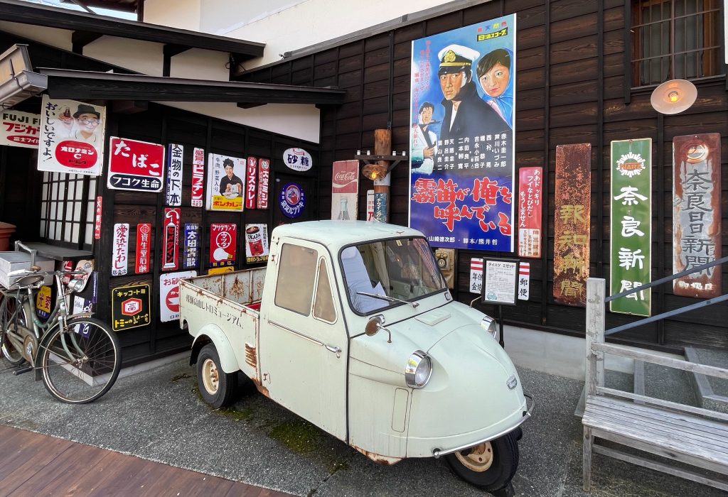
    A little laundry, lots of rest today and a wander of the old part of the city.

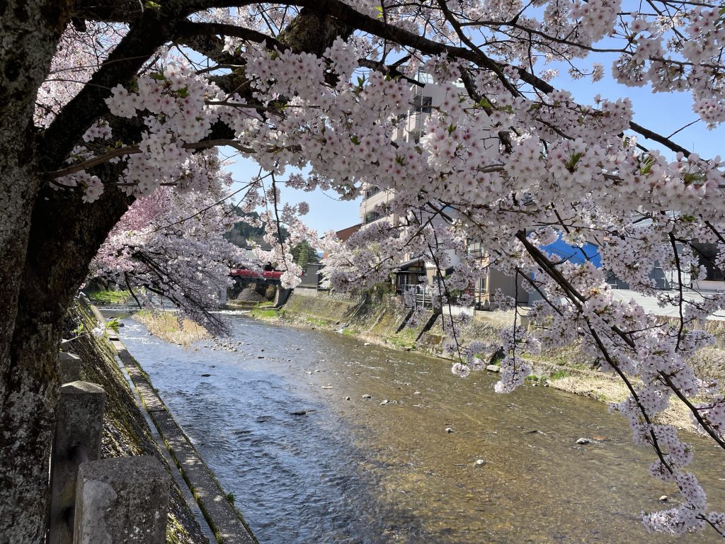
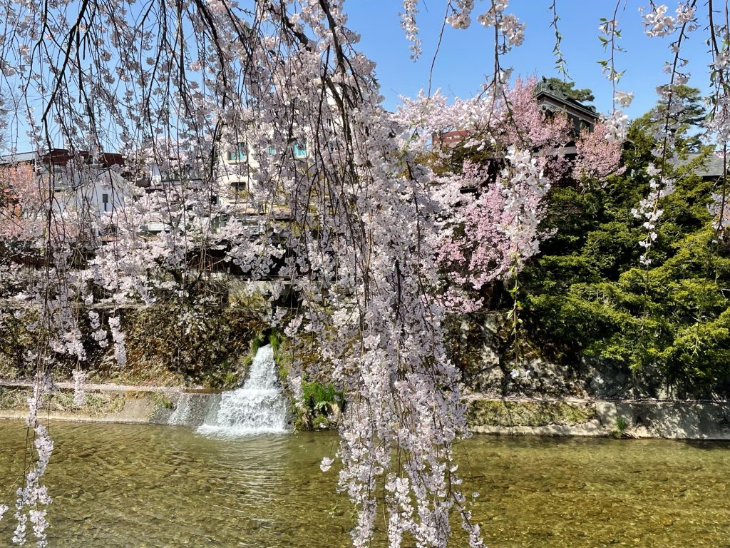
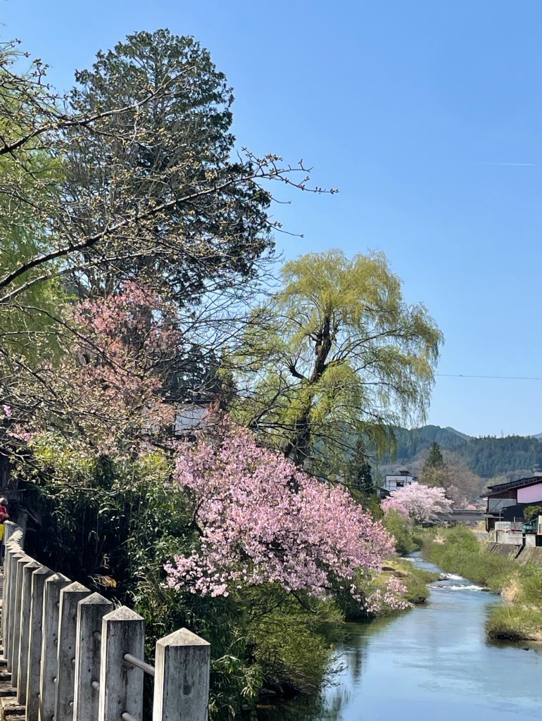
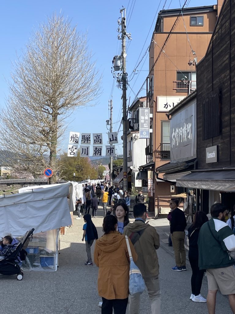
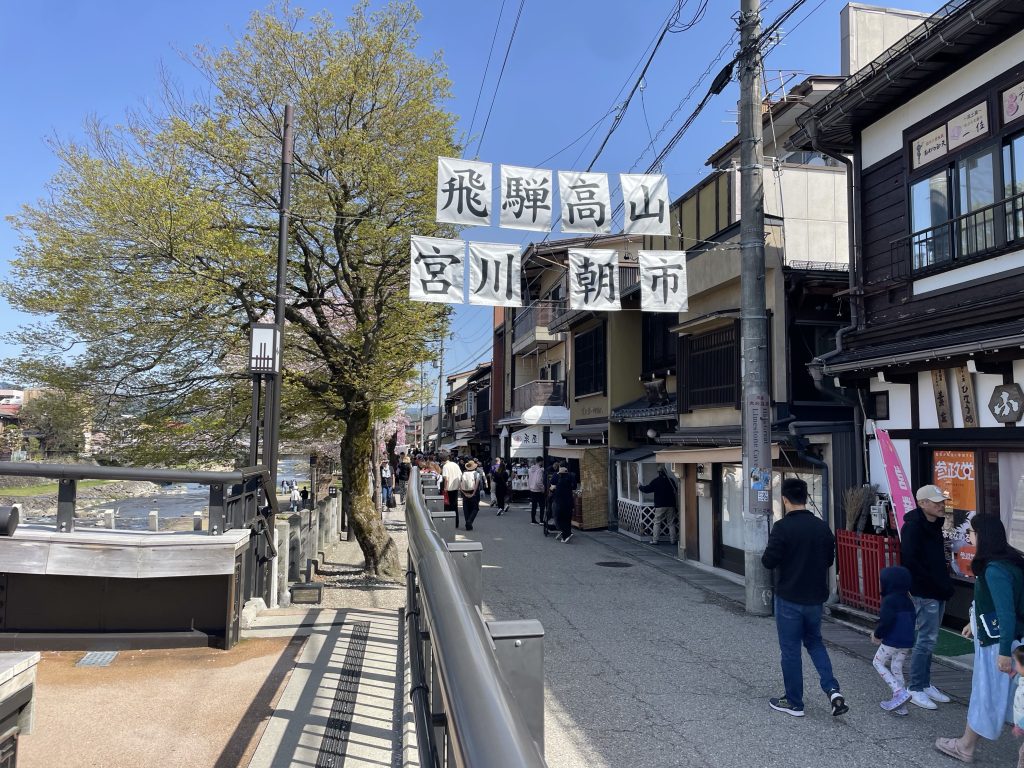
    Takayama (officially known as Hida Takayama; 飛騨高山) has one of Japan’s most atmospheric townscapes, with Meiji-era inns, hillside shrines and a pretty riverside setting. It’s also home to one of the country’s best-loved festivals.
    Takayama retains a traditional touch like few other Japanese cities, especially in its beautifully preserved old town. Takayama gained importance as a source of high-quality timber and highly skilled carpenters during the feudal ages. For these important resources, the city was put under direct control of the Shogun and enjoyed quite a bit of prosperity considering its remote mountain location. The Takayama Festival, held in spring and autumn, is considered one of Japan’s best festivals.


    Sanmachi Suji District
    The Sanmachi Suji District consists of three streets in the heart of Takayama’s old town, which lies just to the east of the Miya-gawa River. The streets are lined with traditional houses, shops, restaurants, sake breweries and cafes. These three quaint streets are among the most picturesque in Japan, and if you mentally Photoshop out a few electrical wires and other tourists, you can imagine what Japan looked like around the turn of last century. We suggest heading there early to avoid the crowds and get the best atmosphere.

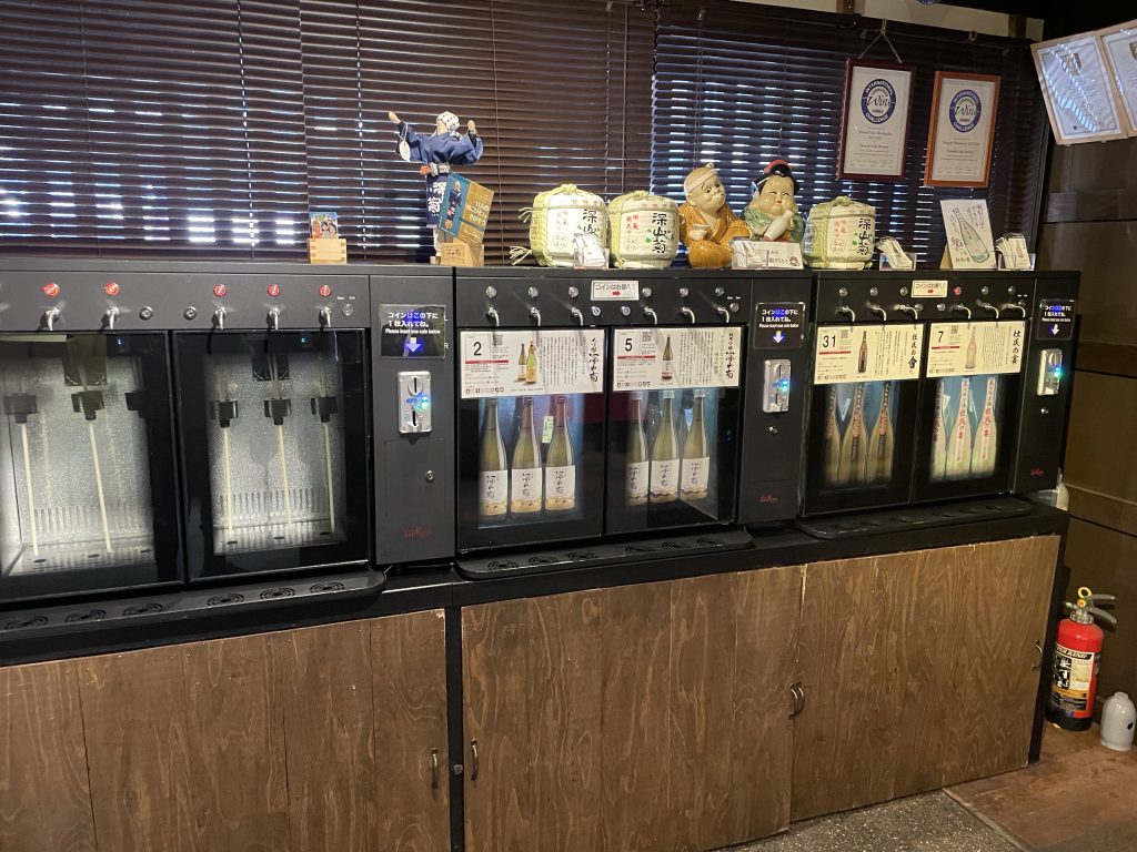
    Markets, 7 sake breweries, some with dispensing machine to fill your own vessel.

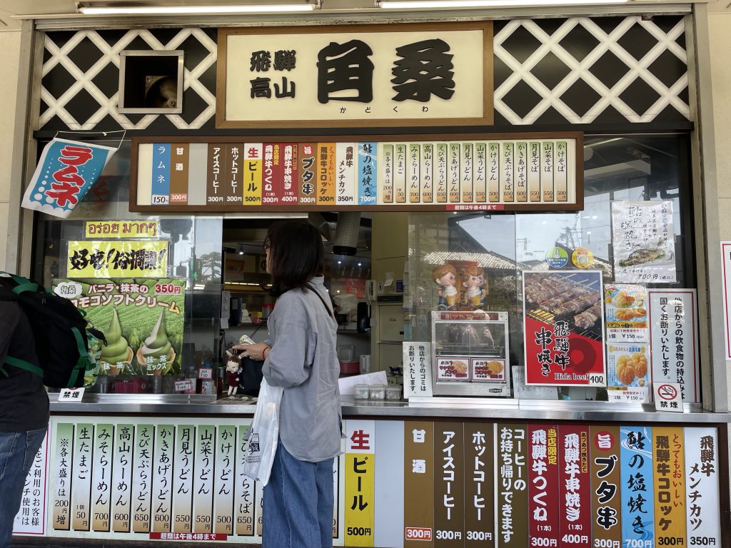
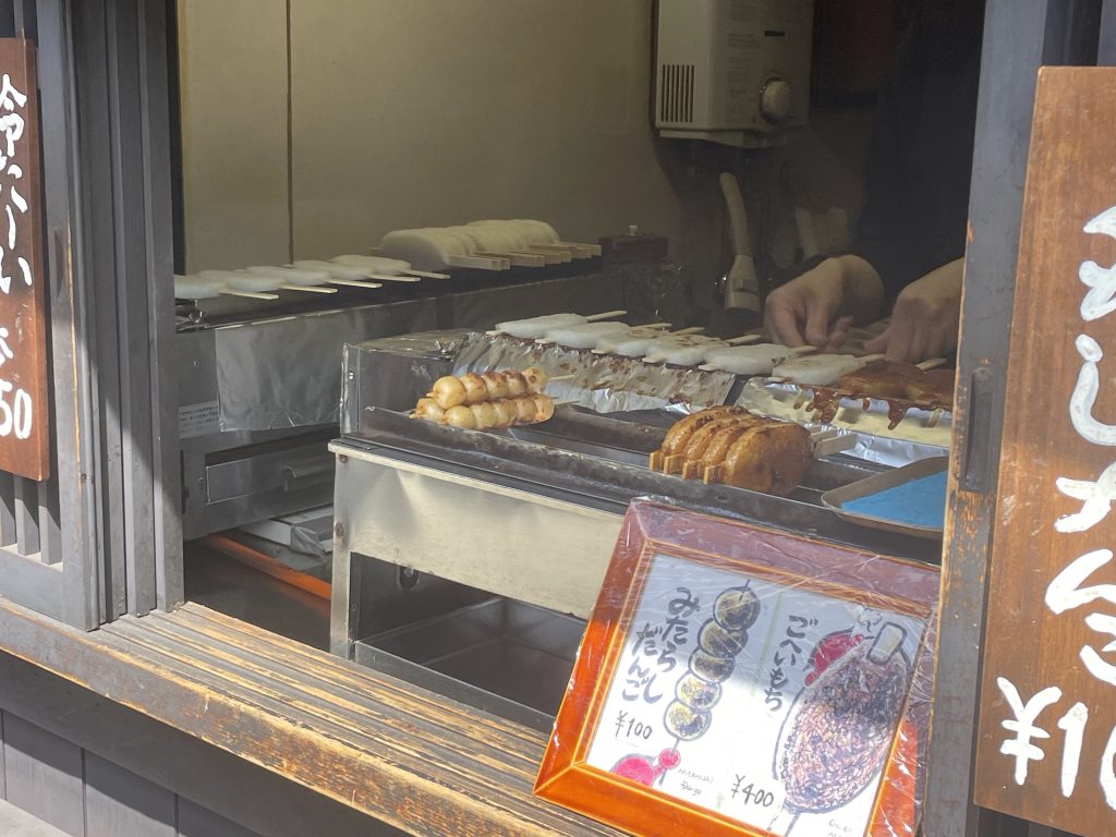
    Some Hida Beef street food and a treat…

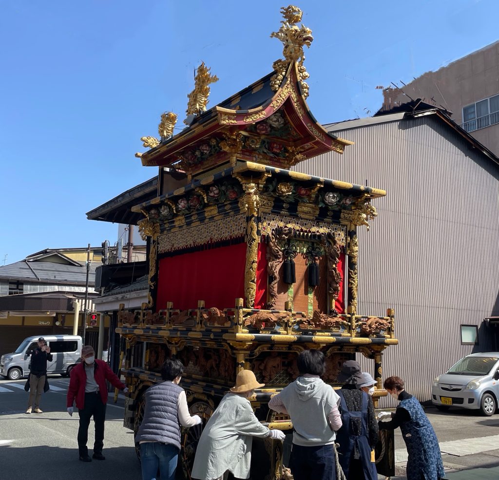
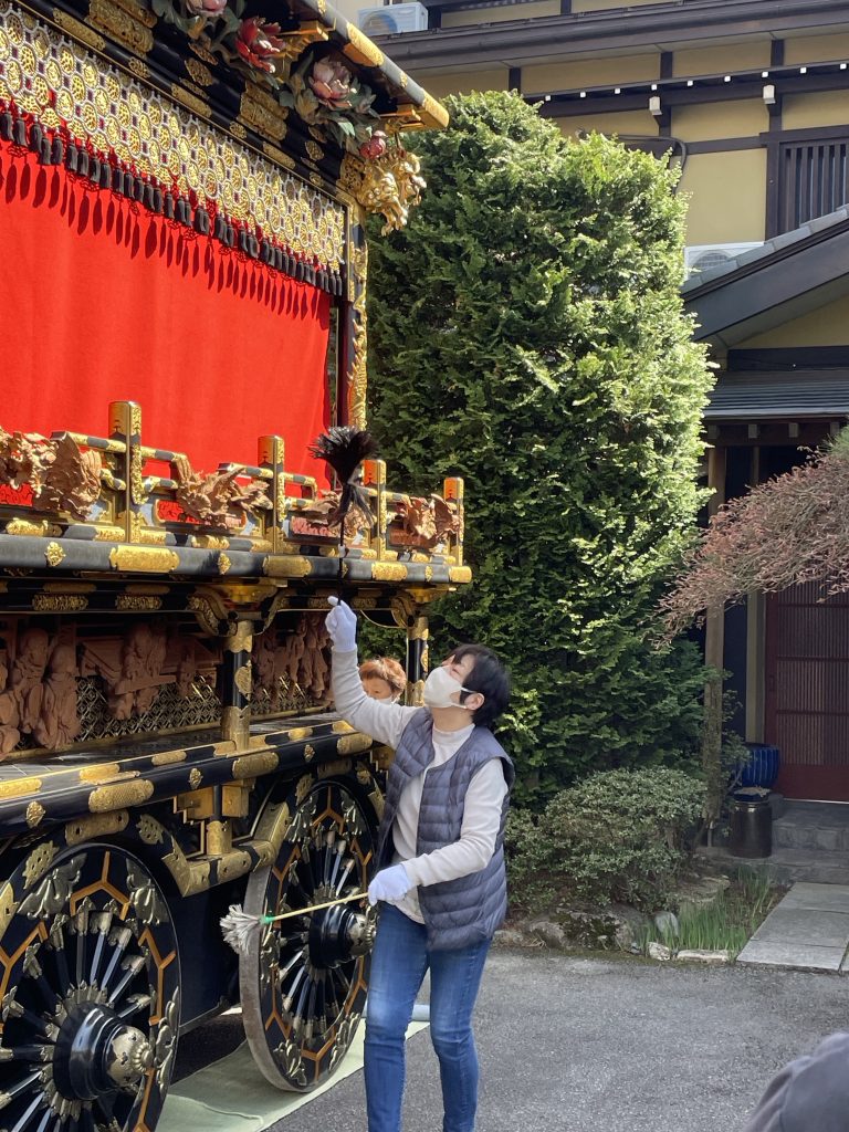
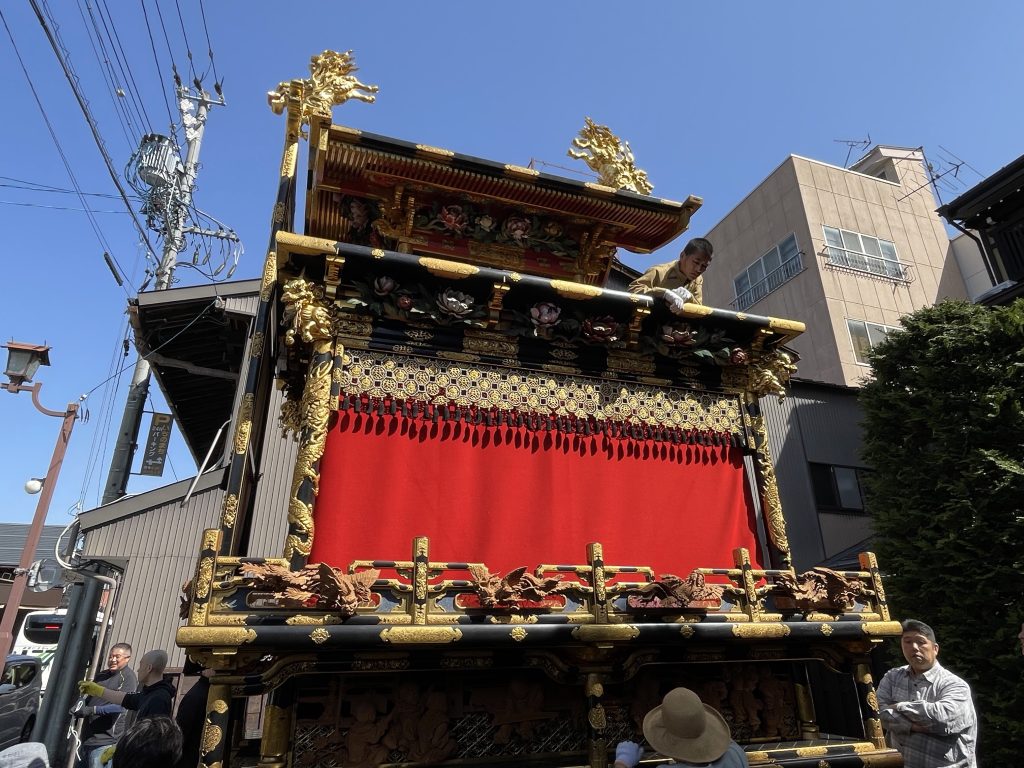
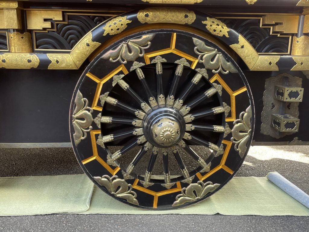
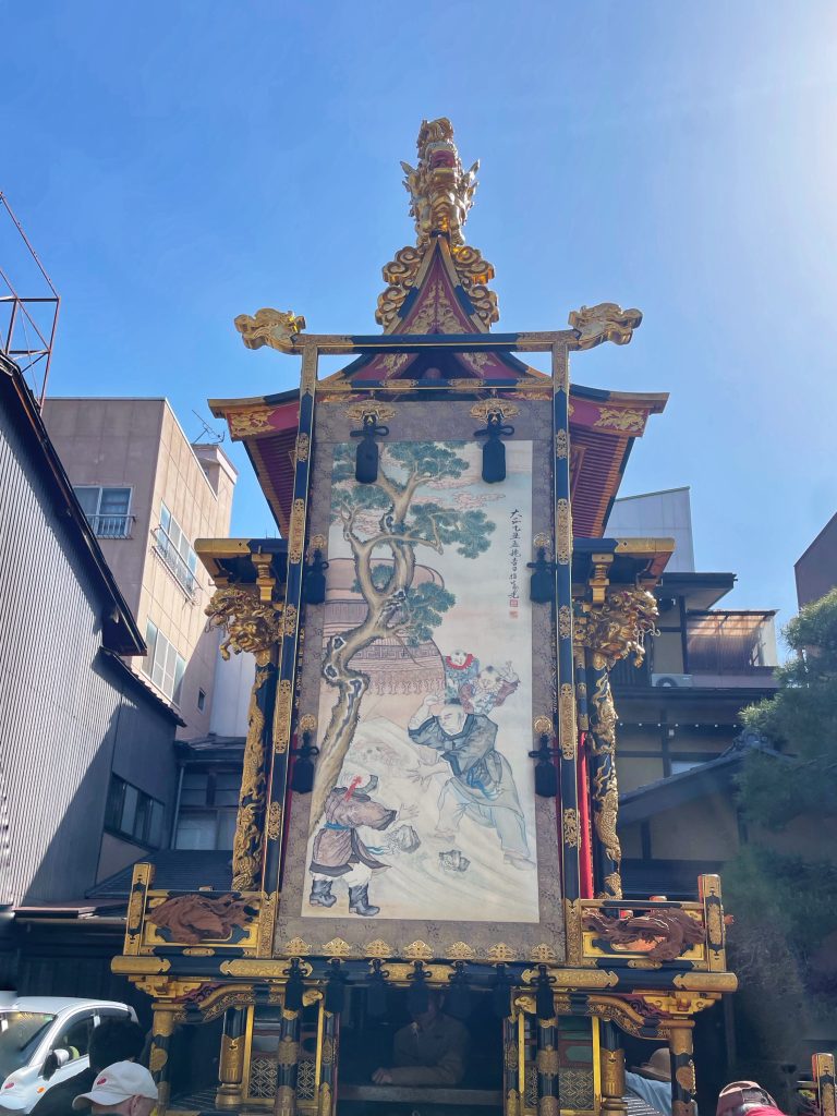
    One of 18 ‘floats’ built in the early 1600’s which are stored large garages at various spots in the old town. Once a year all are on display and parade.

    The Last Push to Fuji starts tomorrow!

    Life is Good in Takayama!

    Sayonara

  • Shogun Day 21: Shirakawa to Takayama


    Watch the Relive video here:https://www.relive.com/view/v1vjP95woJ6


    On the Road – Distance 89km / 55mi | Elevation 1374m / 4508ft

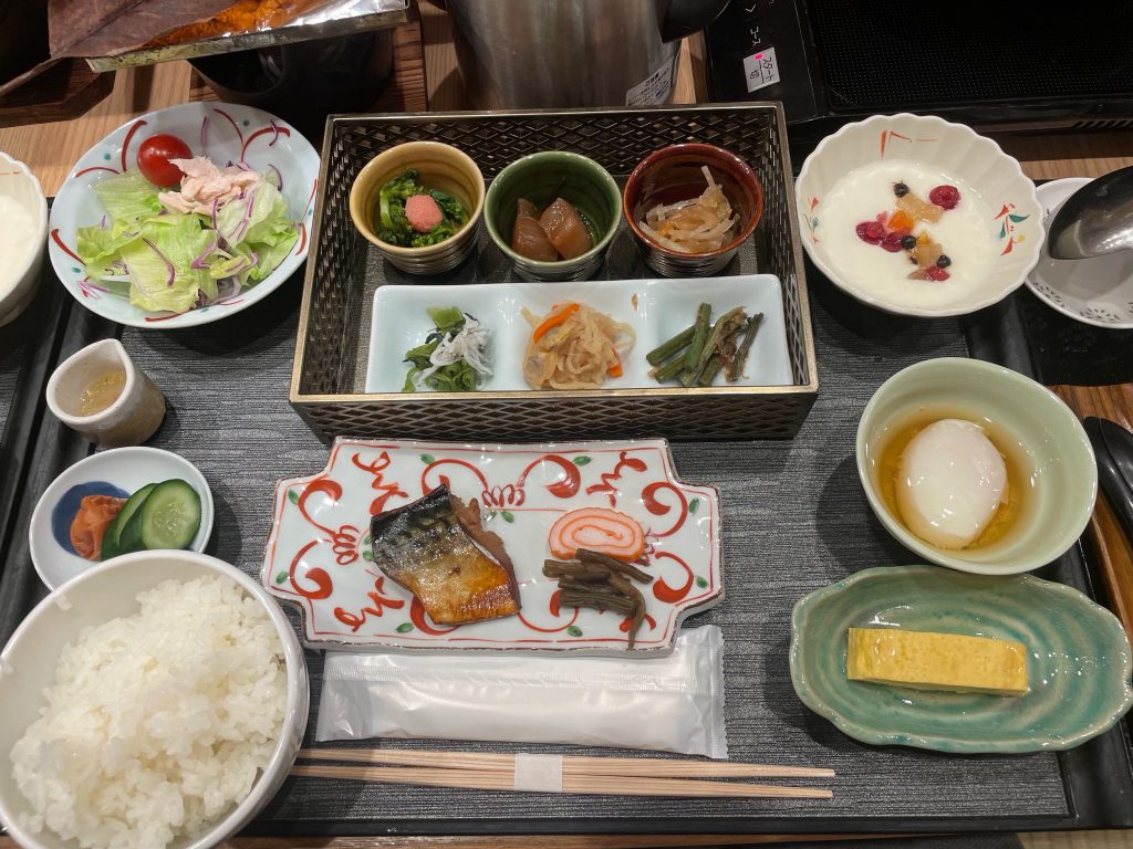
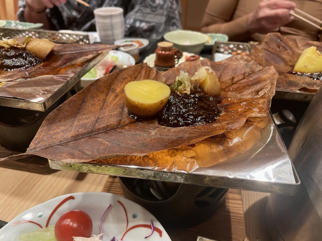
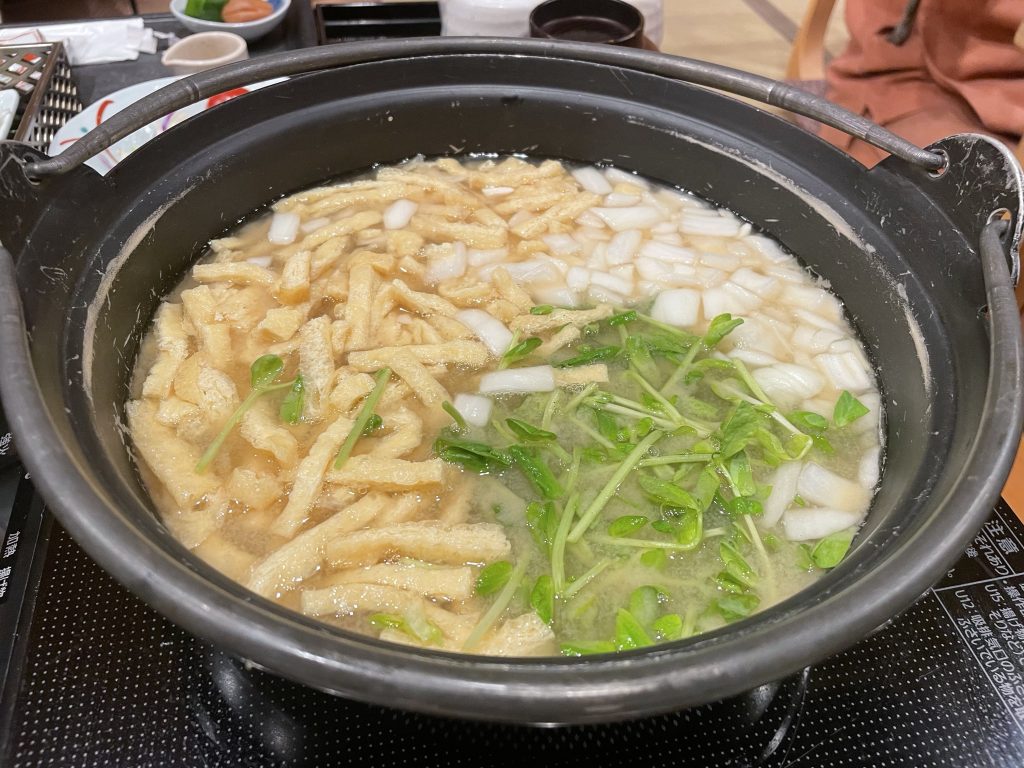
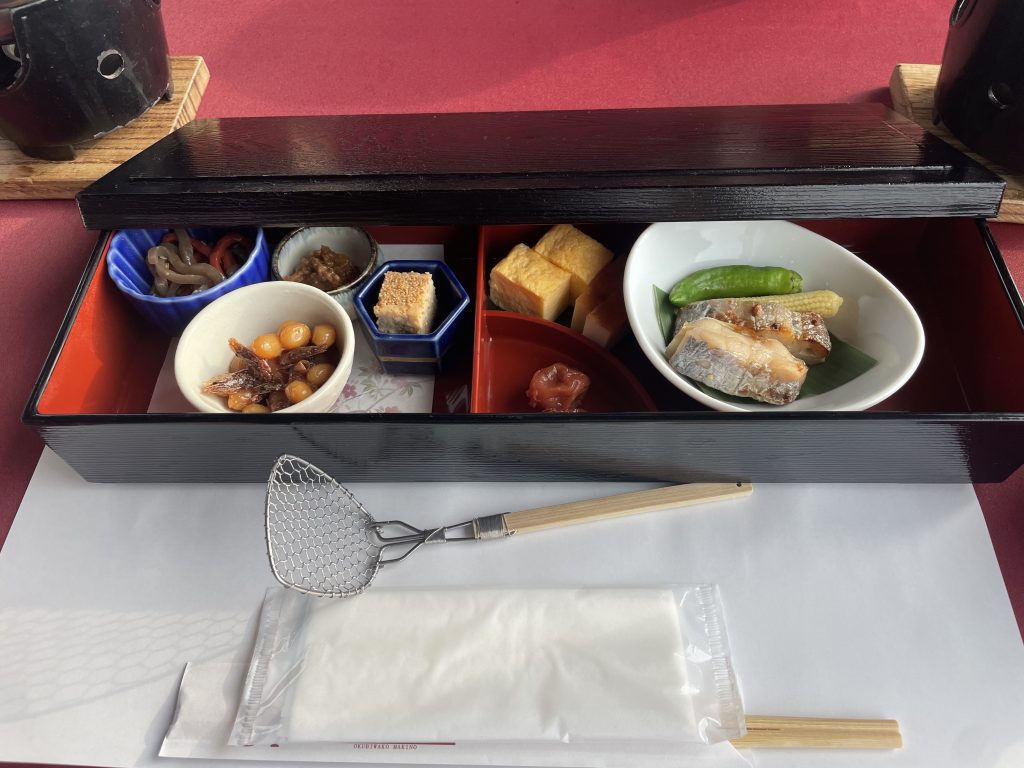
    After a very traditional banquet breakfast ( pre-set and always with a hot soup and white rice…that was my own serving, the egg drop soup was shared), we were to take a slightly different route out of Shirakawa and climb some backroads.

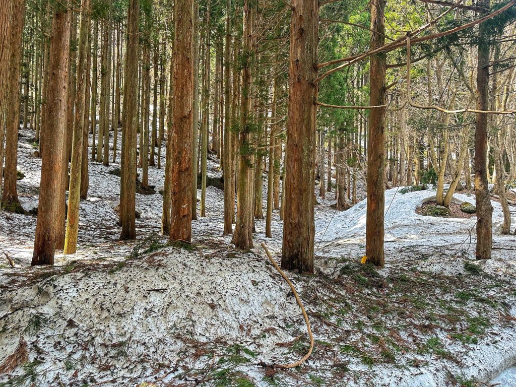
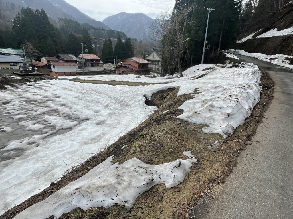
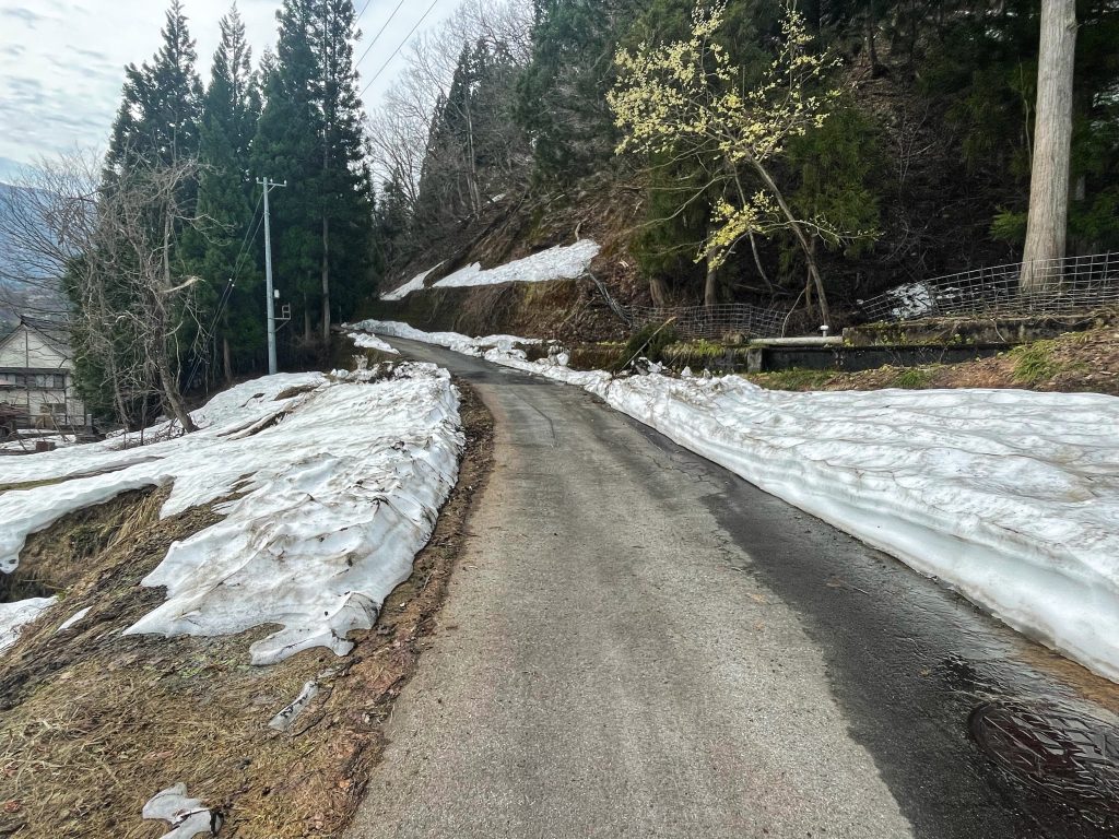
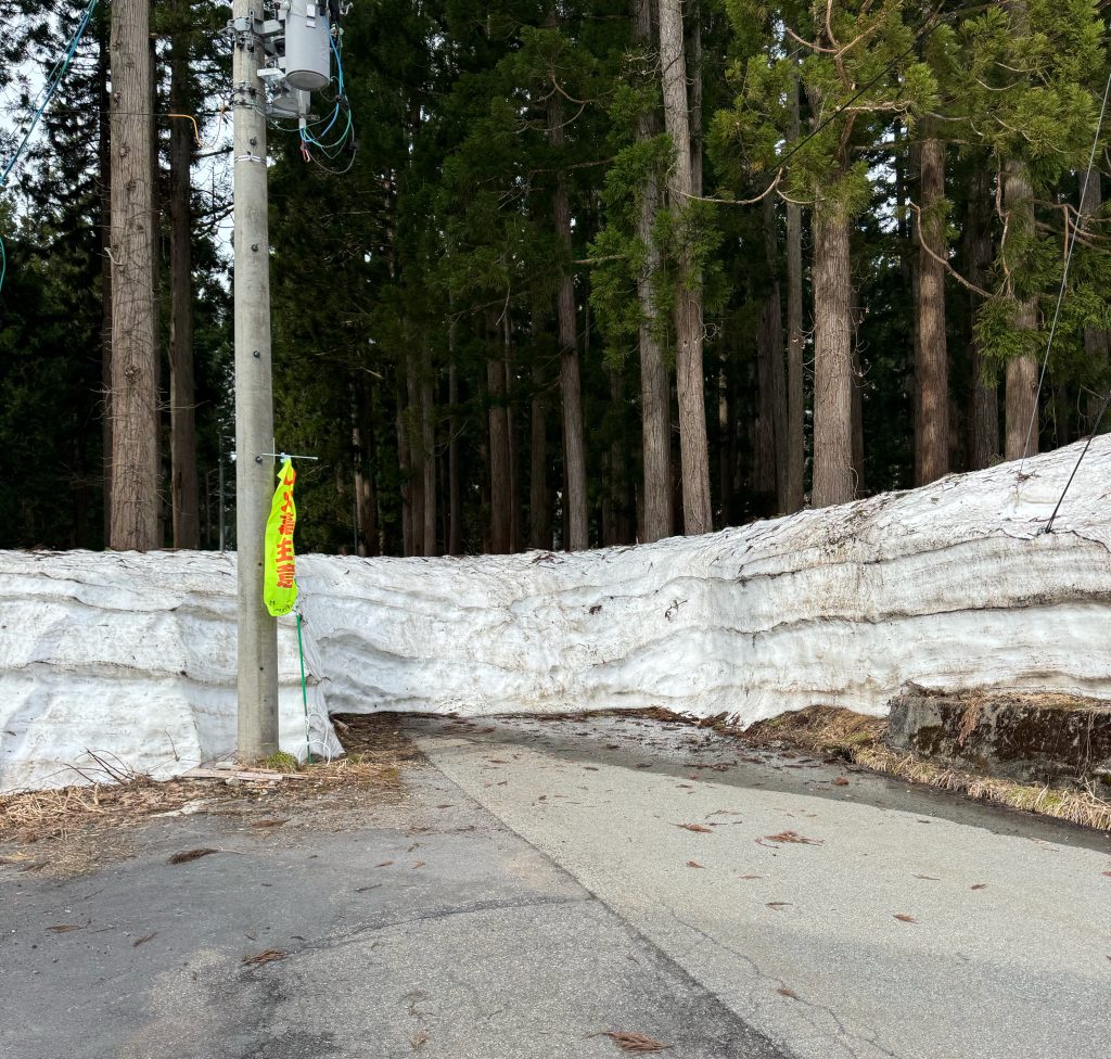
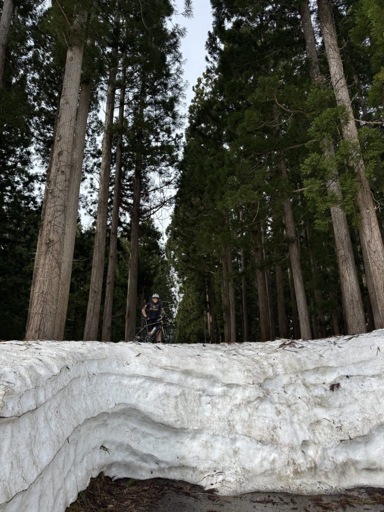
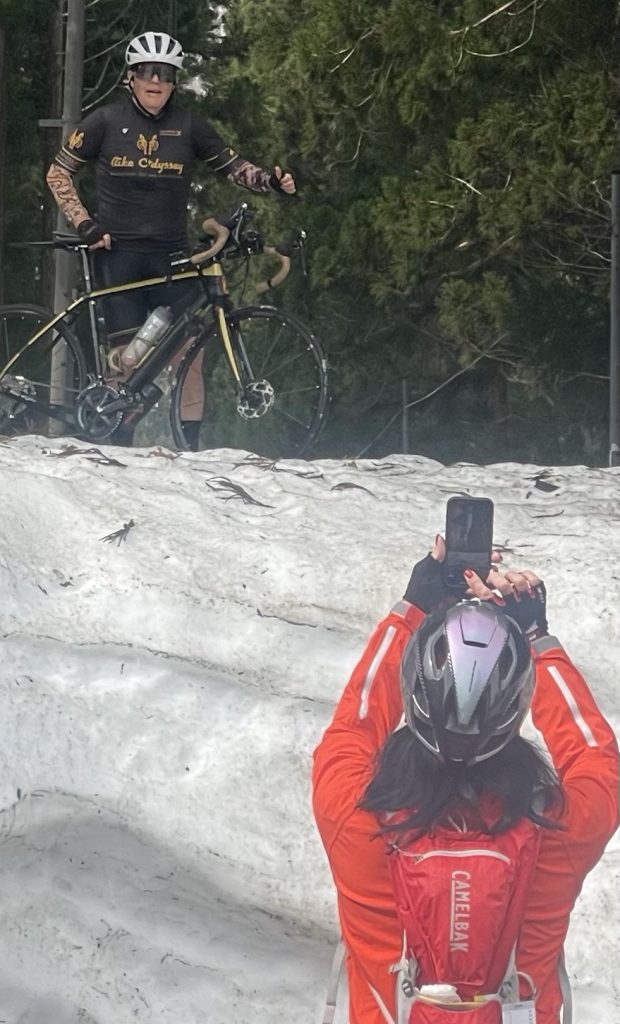
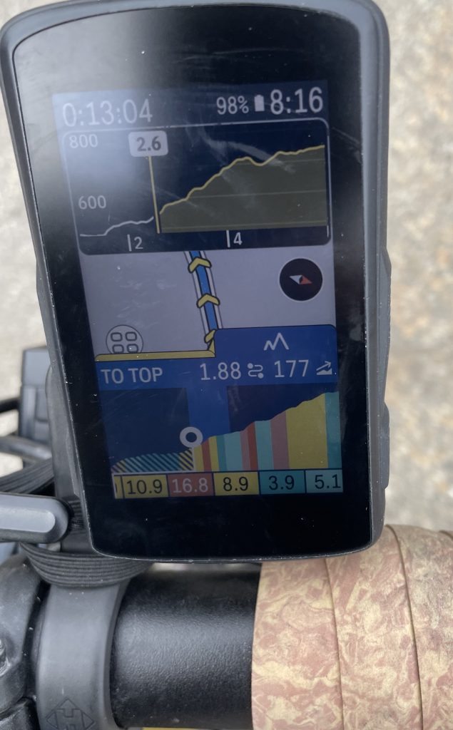
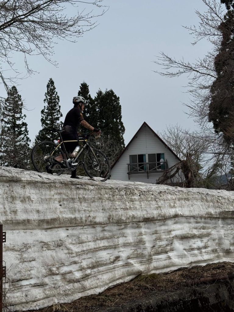
    However unbeknownst to us or our guides, the backroad was blocked by a 12 ft wall of snow! I initially thought a snow plough had dumped snow there, so I climbed up and over with bike thinking the road would appear. But it was thick deep snow as far as you could see. So after climbing 7 km @ 5% we had to turn around and take an alternate route. This basically was retracing how we rode into Shirwakawa yesterday.

    After a good spin and just before 40km we got coffee at Shokawa no Sato. This site was a very quiet but extremely authentic gassho village with a quirky cafe.

    Our valley road gently climbed until Kurumatomumaya Park where the team met us with portable calories and more caffeine. This fueled us well as we left the main valley and climbed the walls on a quiet lane to our high point of the day.

    This route included 5-6 tunnels …

    …and avalanche shelters for about 50 km and then picked up our new route which included some decent climbing and a fabulous descent into Takayama, I clocked in at 68km/hr. Fellow rider Seth blew by me at 72km/hr according to his Garmin!

    Then we descended back into the valley to follow the Kawakami river to our destination. The more modern townscape didn’t reveal its hidden gems until the final moments; our accommodations for two nights is right in the middle of the old town.

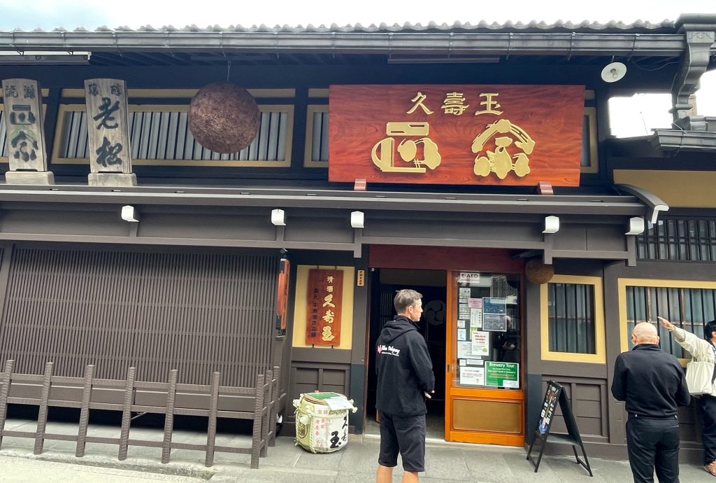
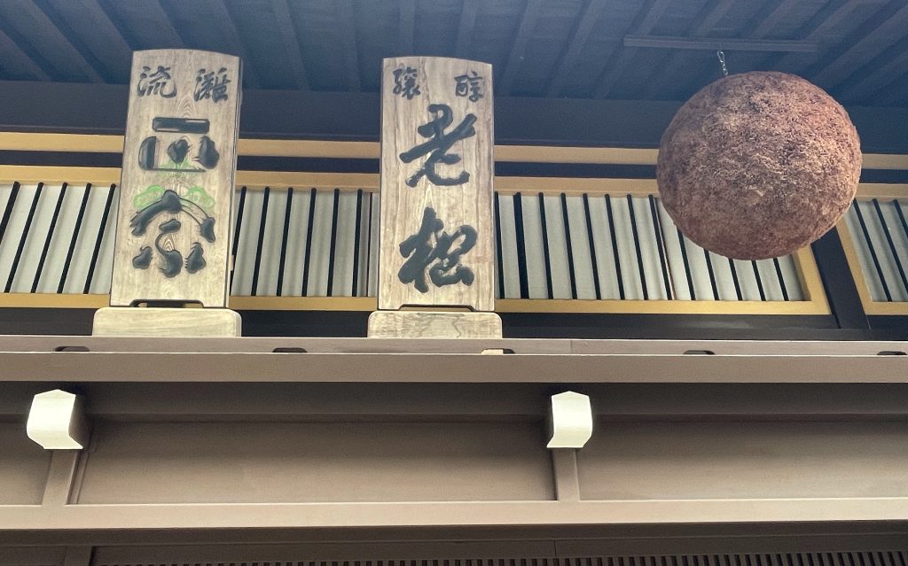
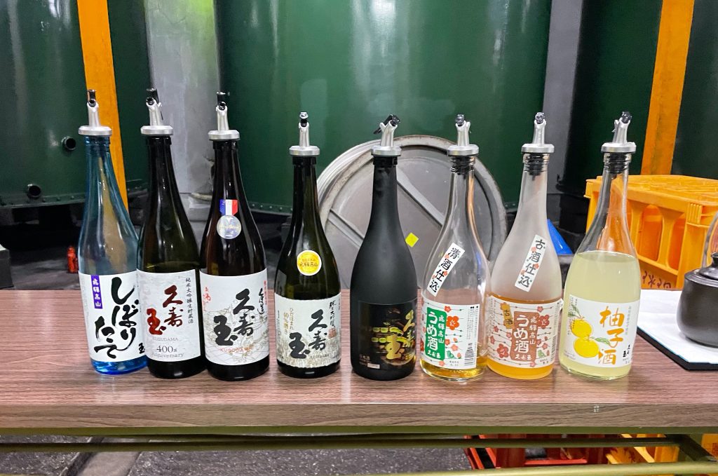
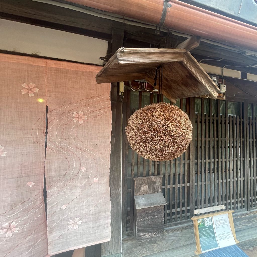
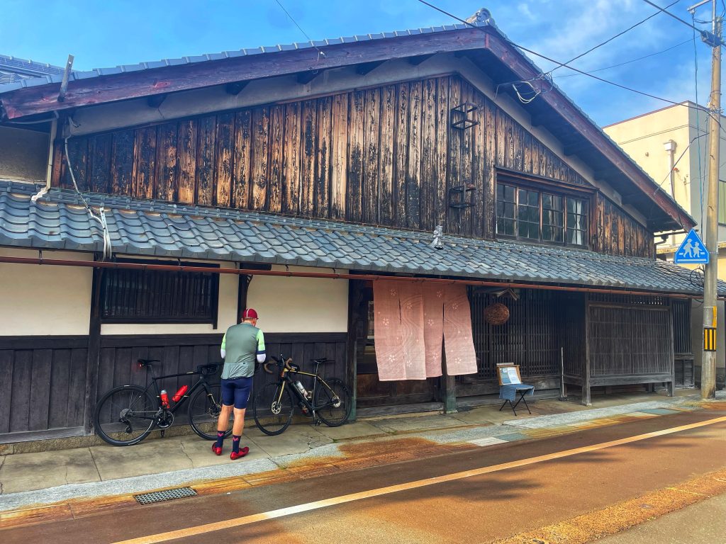
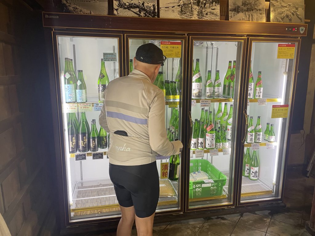
    After a quick shower we headed to a 200 yr old sake brewery for a tour and tasting. The brewery has been owned by the same family all this time!

    It was pretty interesting how sake is made, unique from wine or beer making. We tasted all their selections!

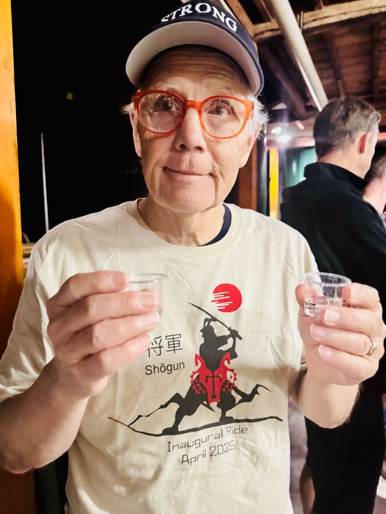
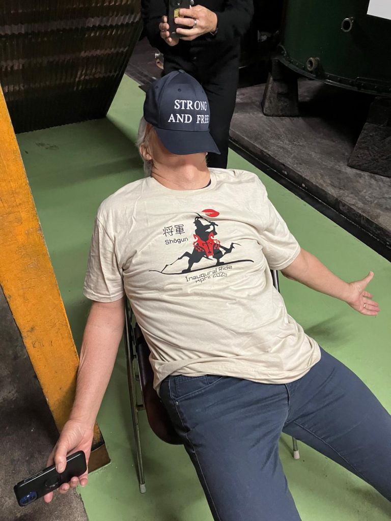
    Me during sake tasting and after🤪

    Dinner at a restaurant across the street from our hotel was excellent

    Tomorrow is a much needed rest day…sleep, a long soak in the onsen and maybe a walk around this old historic old city.


    Life is Good in Takayama!

    Sayonara

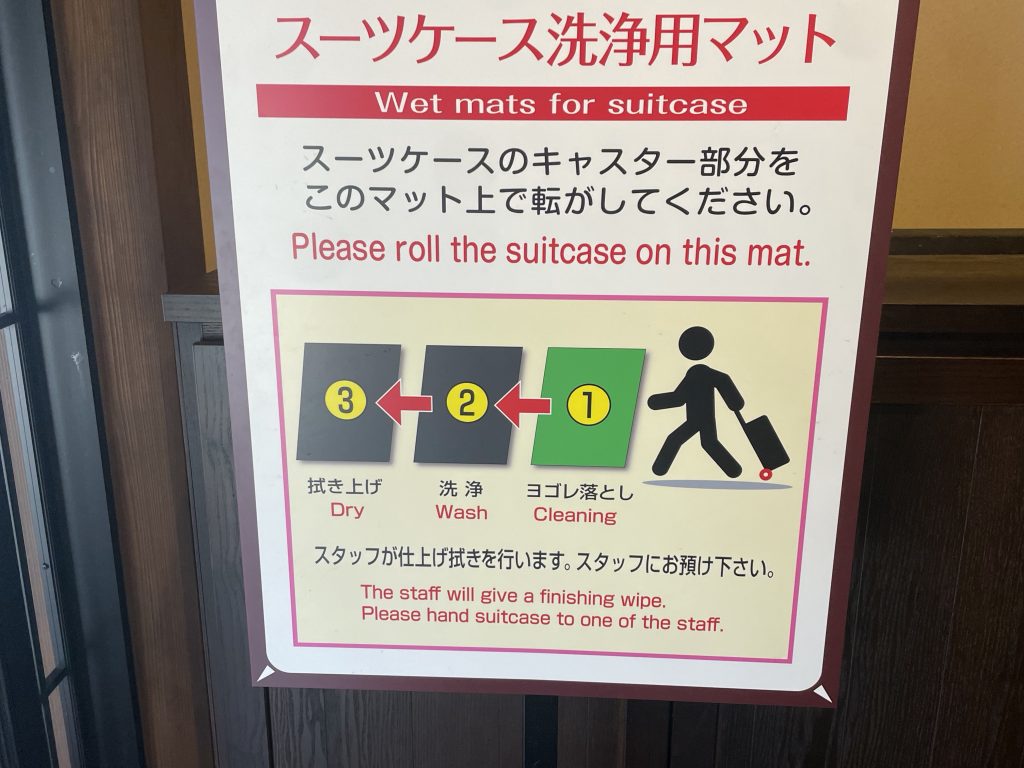
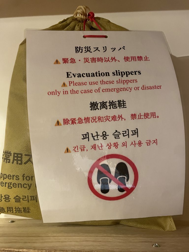
    PS. In our hotel yesterday, this sign in the entrance way on how to bring your luggage into the hotel, and in the room were these ‘emergency’ slippers ( that they didn’t want you to use)!


  • Shogun Day 20: Gifu to Shirwakawa

    Watch the Relive video here:https://www.relive.com/view/vPOpKrXQmRv

    On the Road: Distance 141km / 89mi | Elevation 1555m / 5102ft

    The Queen Stage of Shogun, 98km @3%, that started us off today!


    After taking full advantage of our early buffet breakfast we continued along the river using some large then small cycleways and some slightly busier roads to get us out of the city.


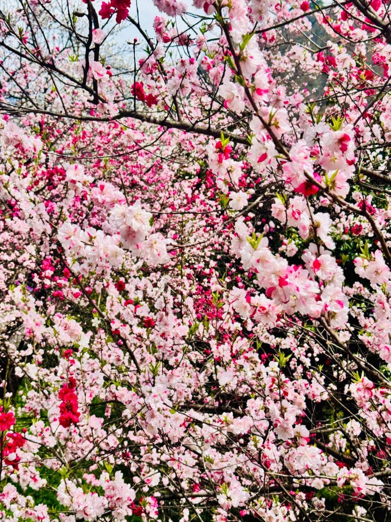
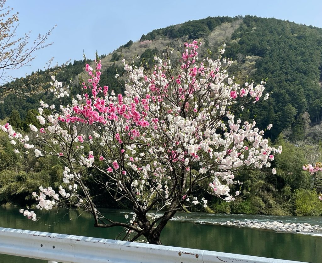
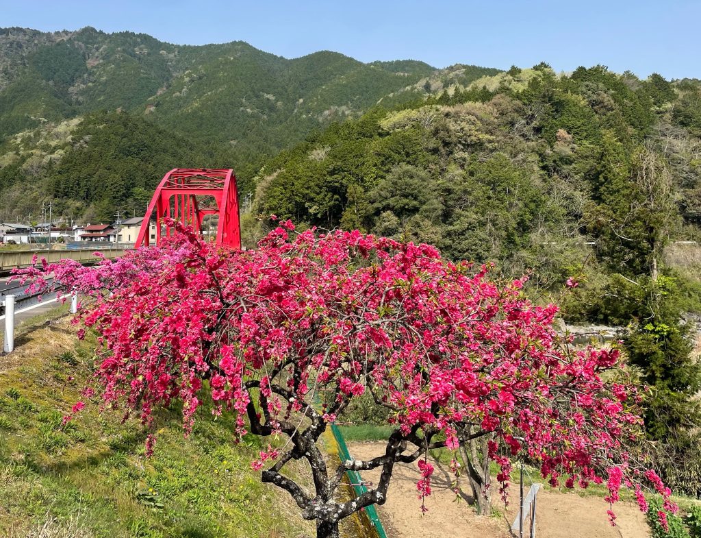
    As the city limits approached we’ got onto quieter roads and found our way to a tiny coffee stop. cherry blossoms still abound, even some with pinK and white flowers on the same tree.


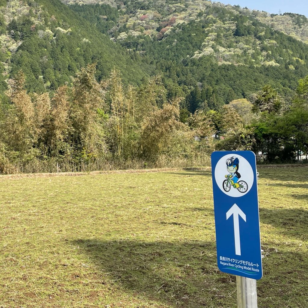
    From here we gently climbed most of the day on a mixture of quiet lanes and wider roads, a lot of the ride was on the Nagara River Cycling Route. As you can see, we are inching our way into the Japanese Alps, snow still on the ground.


    As we followed the river upstream we also were riding on a stretch of road used during Stage 4 of the Tour of Japan 2024.


    A magnificent afternoon on the bike as we skirted the Hakusan National Park with the Ryōhaku Mountains, multiple lakes, rivers and waterfalls always around us!

    Heading north towards Shirakawa along Miraboro lake, cherry blossoms again lined the roads – in fact on the lakeside stood two 500-year-old Shokawa-zakura cherry trees. They were moved here, when the dam was constructed, from two shrines which originally stood in a village located at the bottom of what is now the lake. It is said that each petal represents the memory from someone who lived in the villages before they were flooded.

    We’ll saw our first gassho style houses with 17km to go, a taste of what was to come; as we finished our ride through the centre of the UNESCO village.


    Our destination is the historic World Heritage site of Shirakawa-go (白川郷, Shirakawagō), famous for their traditional gassho-zukuri farmhouses, some of which are more than 250 years old and tonight we enjoyed the amazing authentic hospitality of a traditional ryokan.

    UNESCO Shirakawa-go

    The remote mountain village with its gassho-style houses in Shirakawa-go on the Hida Highlands were registered as UNESCO World Cultural Heritage sites in 1995. The scenery of the mountain village with their traditional houses standing side-by-side is like a fairytale.

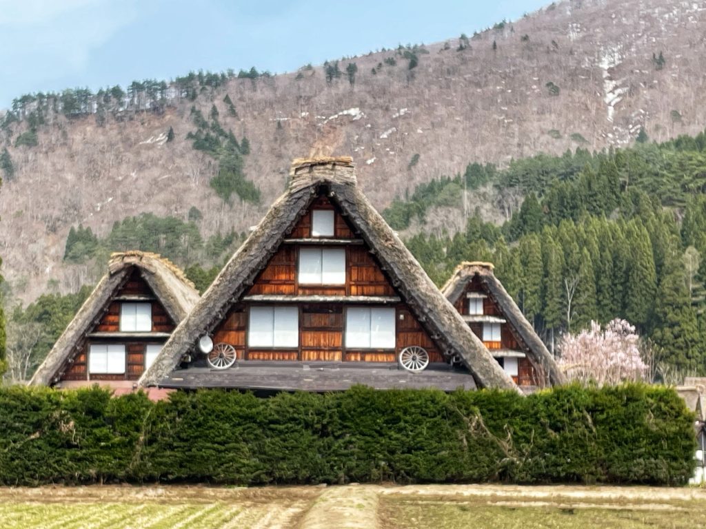
    Houses built in the gassho style are defined as having a roof in the shape of a triangle, like hands folded in prayer. In the multilayer structures, the third and fourth floors are particularly characteristic as they demonstrate the foresight of the farmers. With this type of architecture, farmers could raise silkworms even in the harsh winters. Silkworms would be kept up in these attics where the heat from the first floor rises. The roof has an impressive slope of 60 degrees to allow the heavy snow (sometimes as much as four meters) to slide off more easily. 

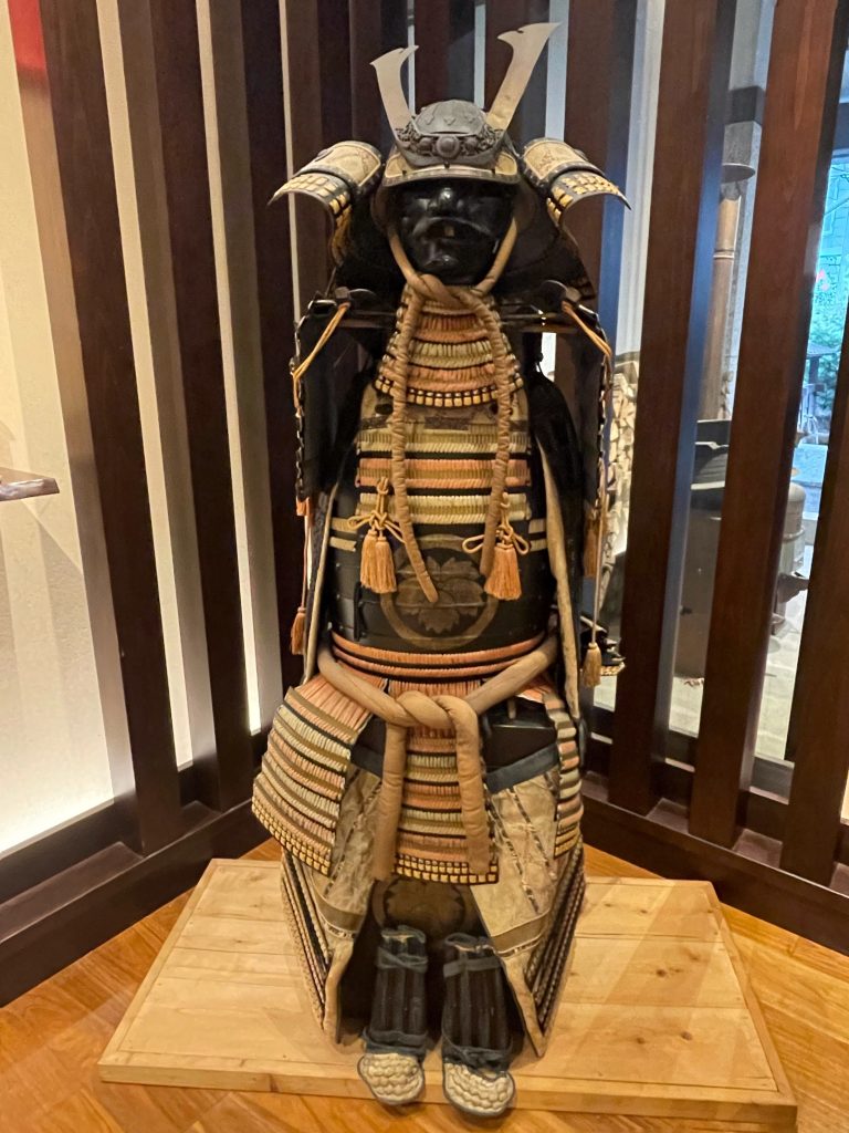
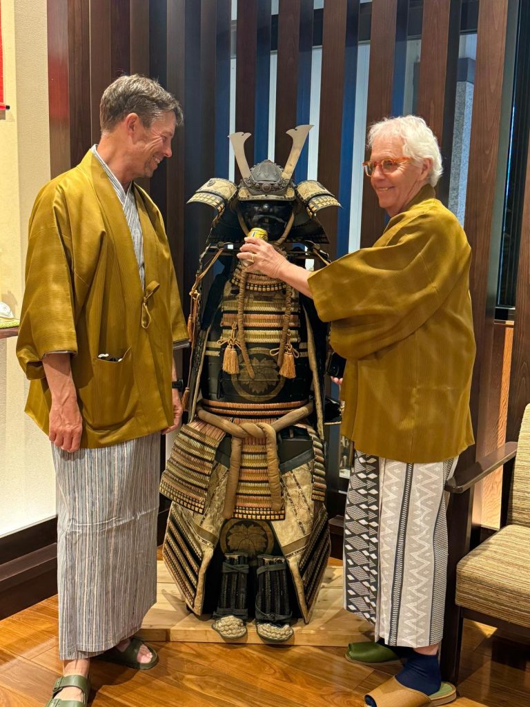
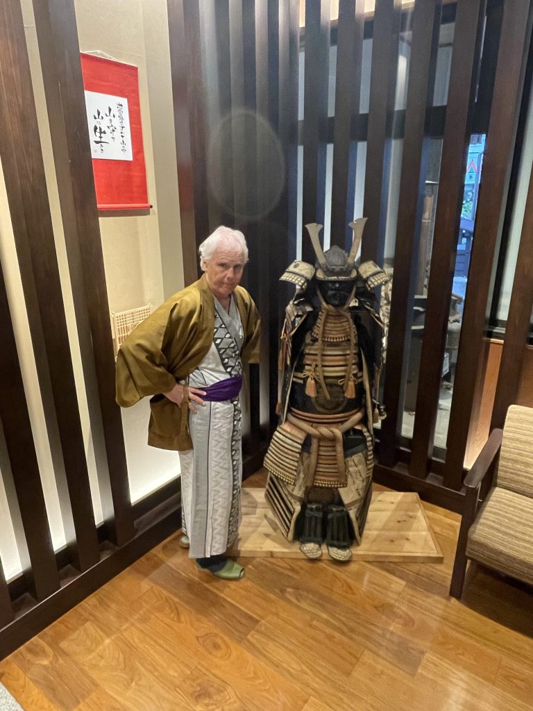
    We had another great meal and we dressed in Japanese garb…most of the hotels we’ve stayed at give us pyjamas and robes to wear, not for in the room but to move around the hotel…very comfy! And since we are up in the mountains again, there are onsen at the hotel.

    What a great way to end another great and long day with a soothing hot onsen and a beautiful meal with the group

    Life is Good in Swarwakawa!
    Sayonara

  • Shogun Day 19: Lake Biwa to Gifu


    Watch the Relive video here: https://www.relive.com/view/vdvm4XNPgNq

    On the Road – Distance 110km / 68mi | Elevation 1356m / 4449ft

    After breakfast…

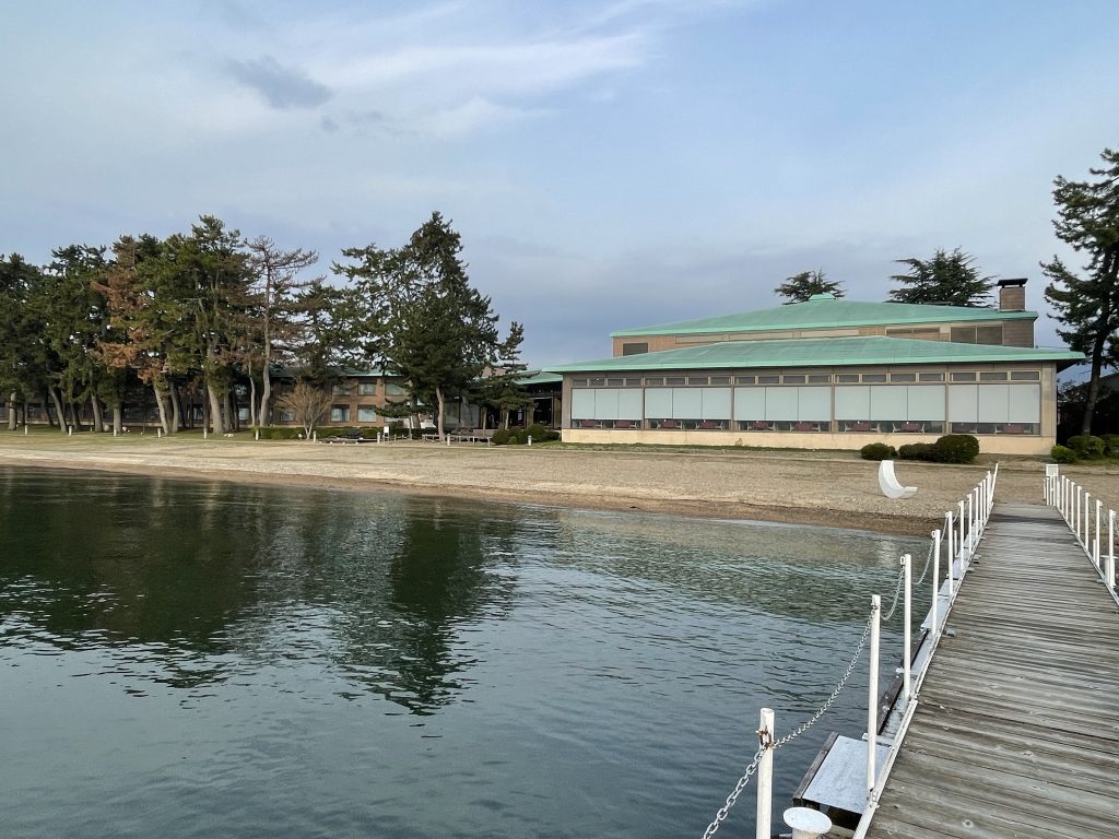
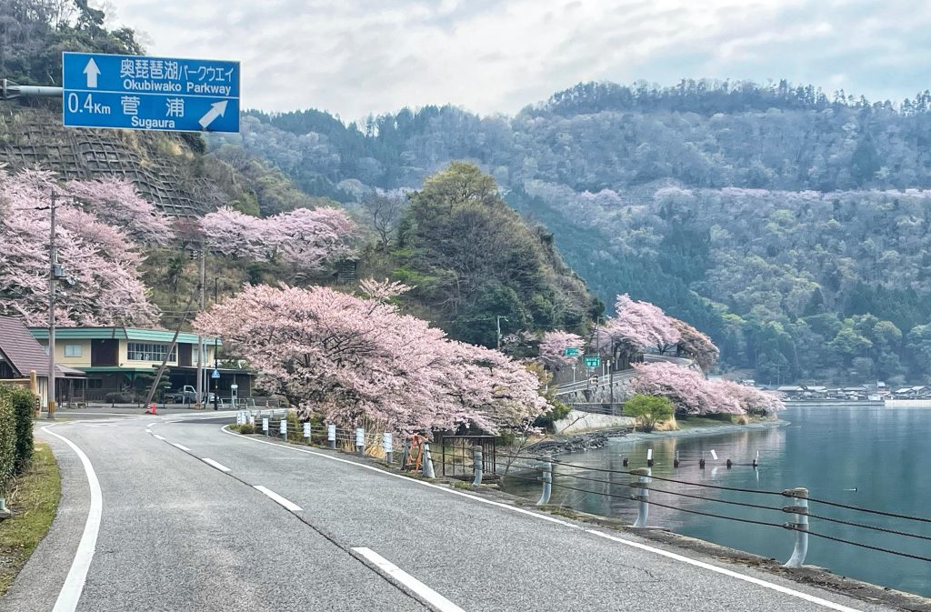
    we departed from the beachfront and got straight back onto the Lake Biwa Ichi Cycling route which took us through the older parts of Makino and then back onto the lake front and amongst the cherry trees winding through the Oku-Biwako Parkway Tsuzura Ozaki. Some macaque monkeys were spotted early on. ( see them in the Relive video above).


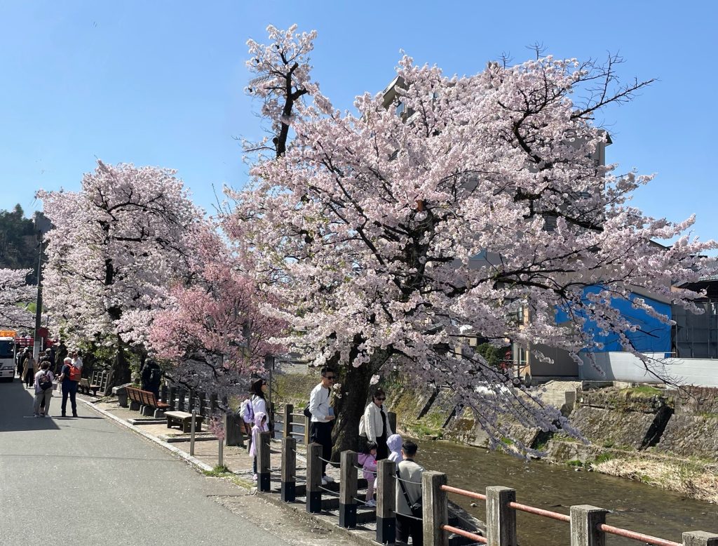
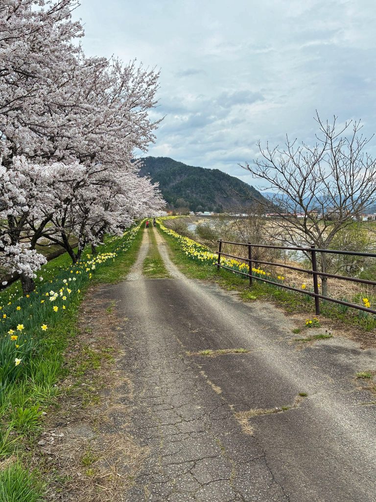
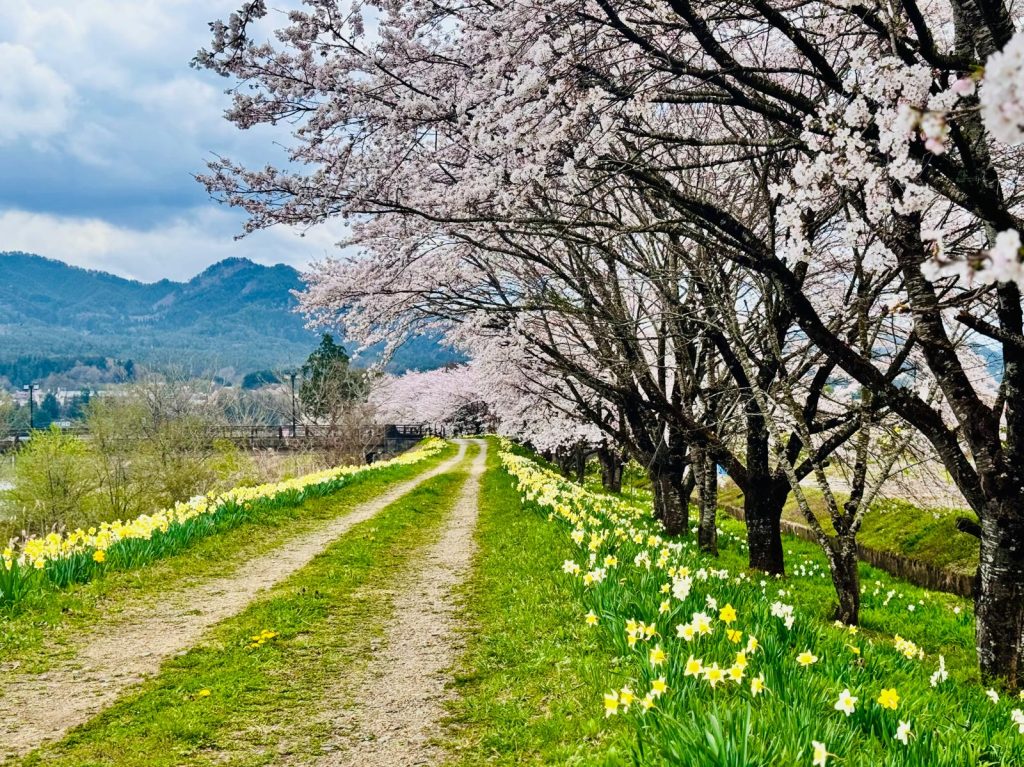
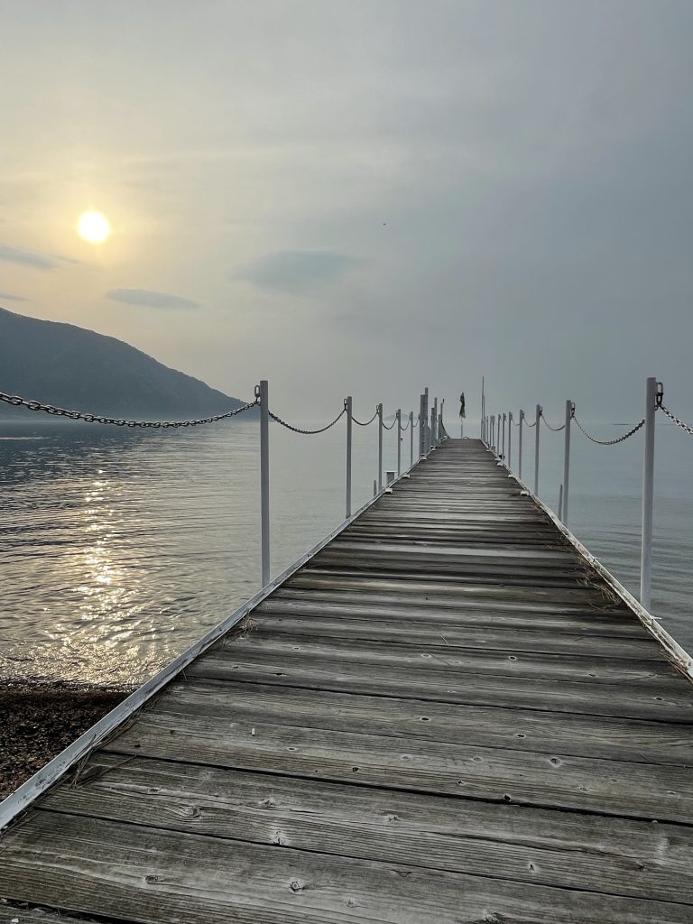
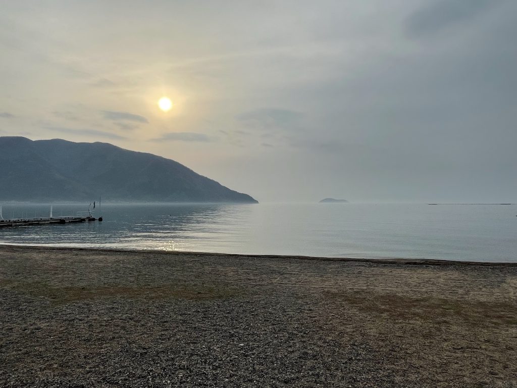
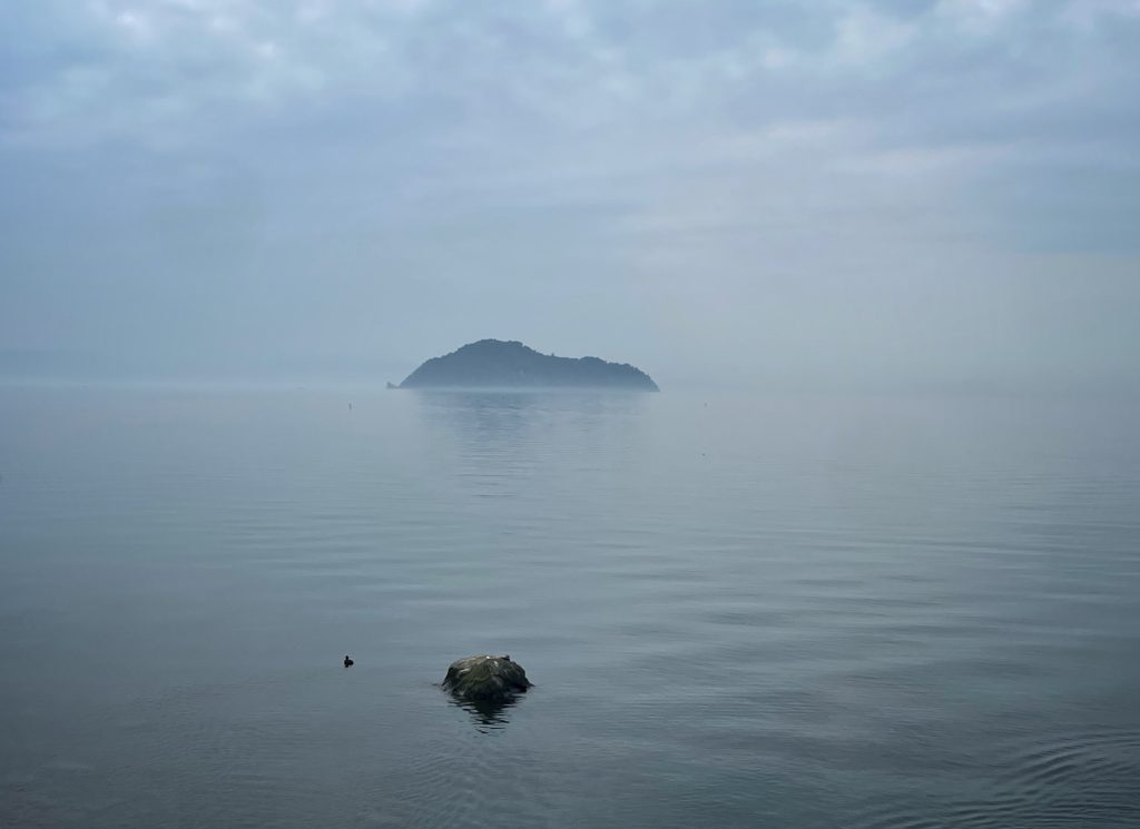
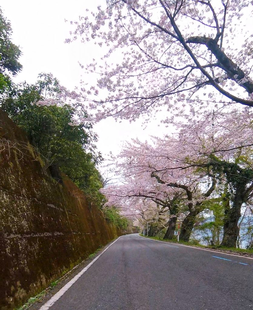
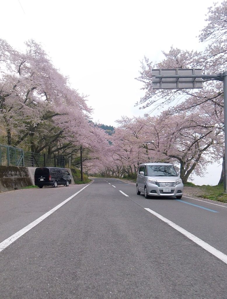
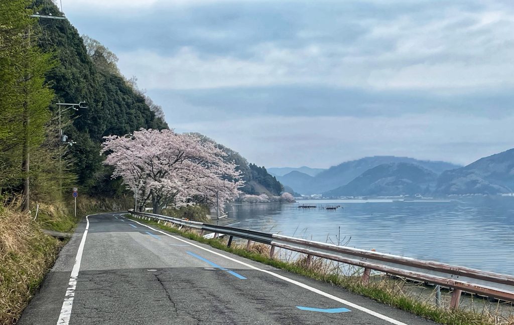
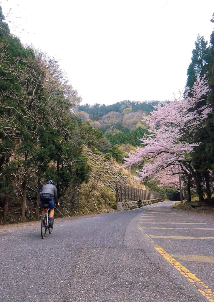
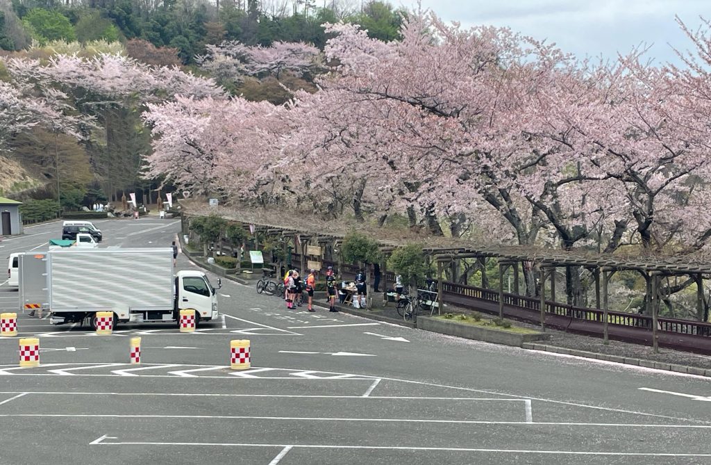
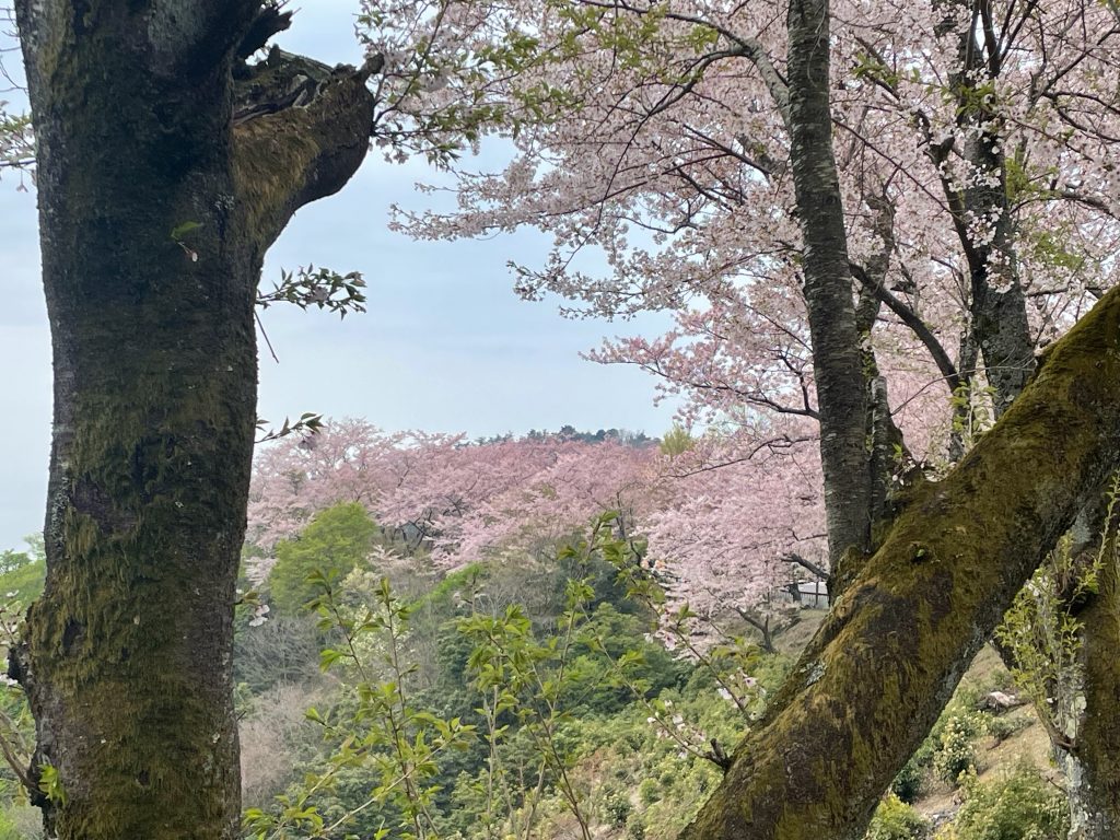
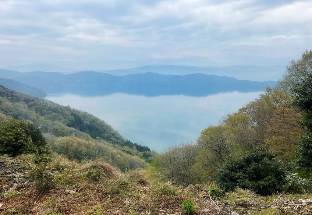
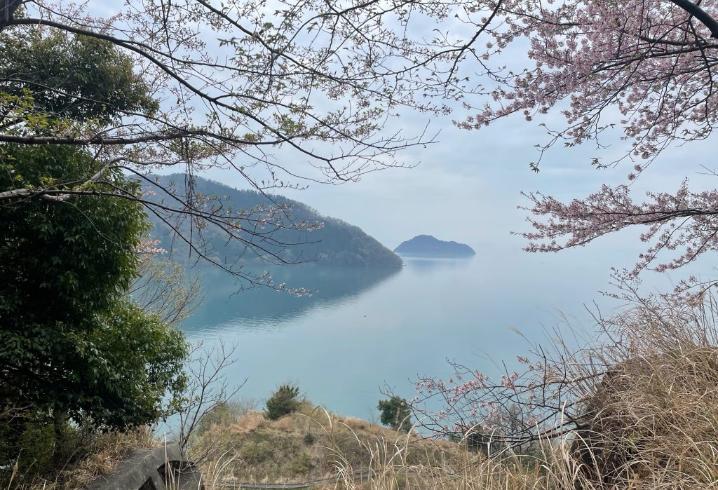
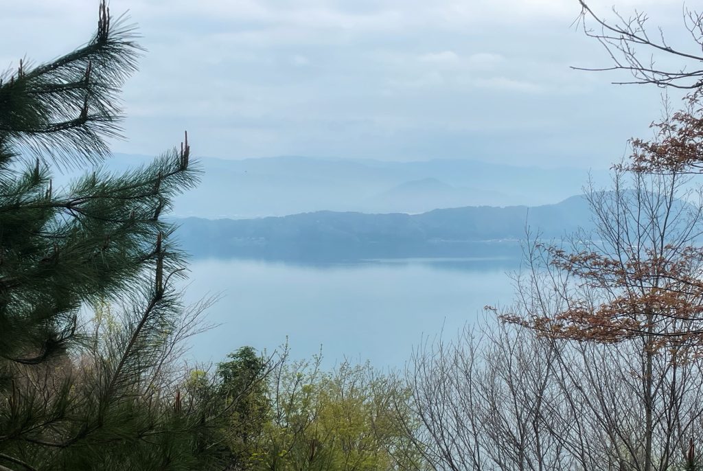
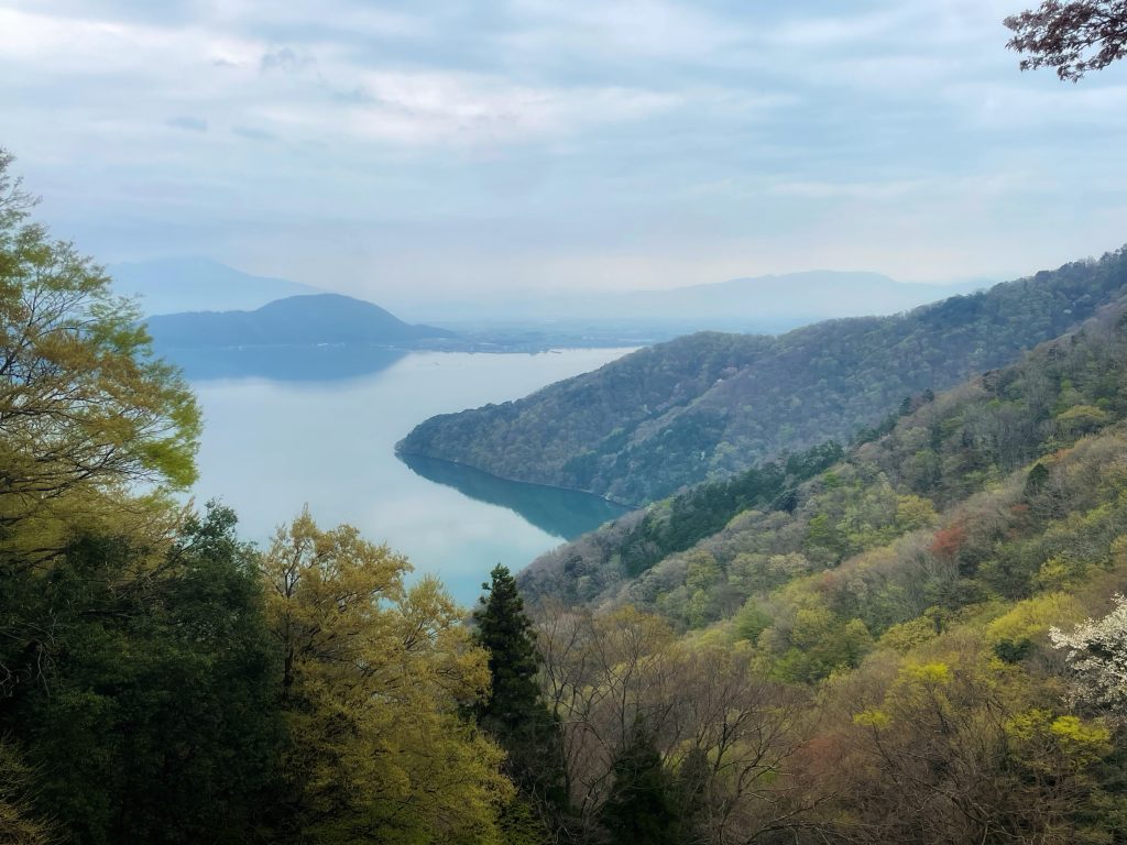
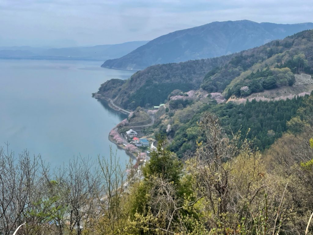
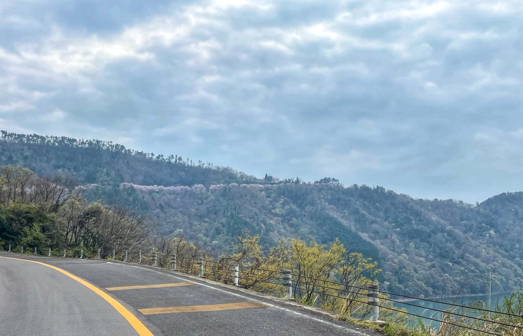
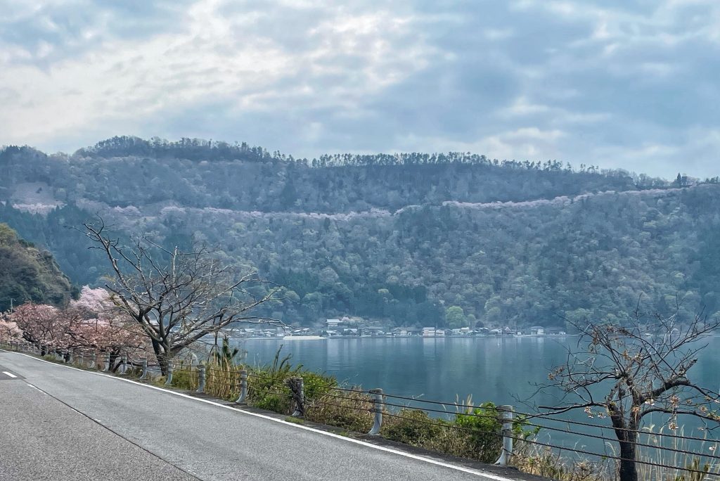
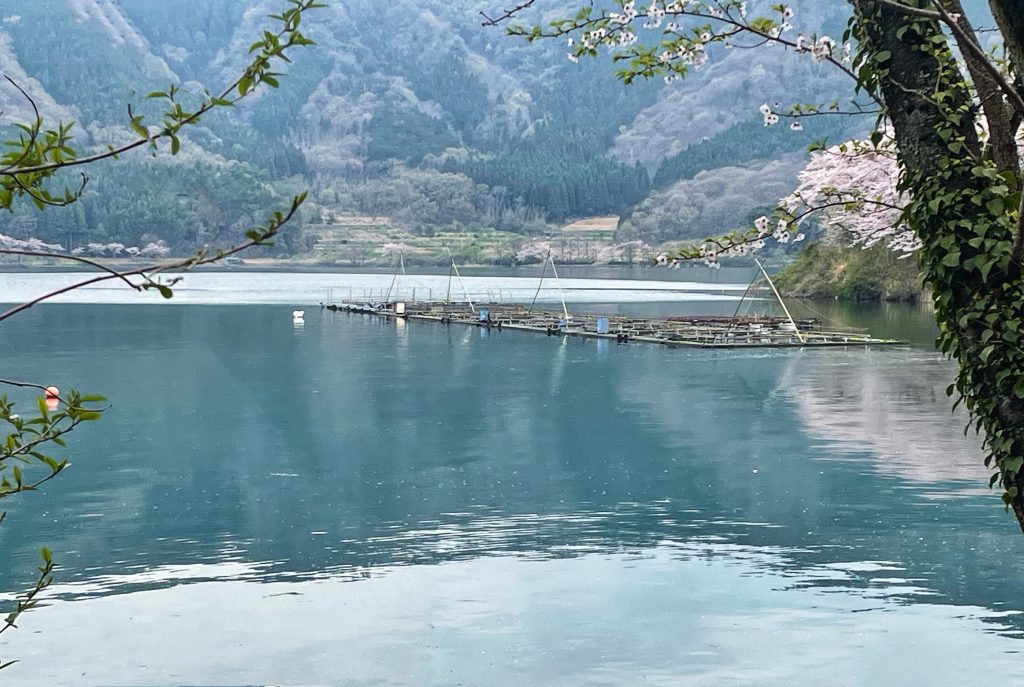
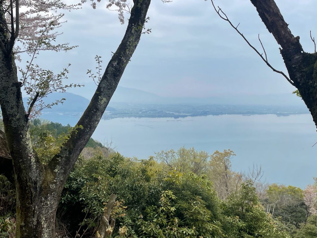
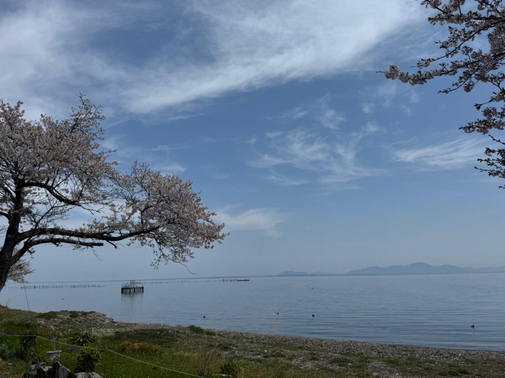
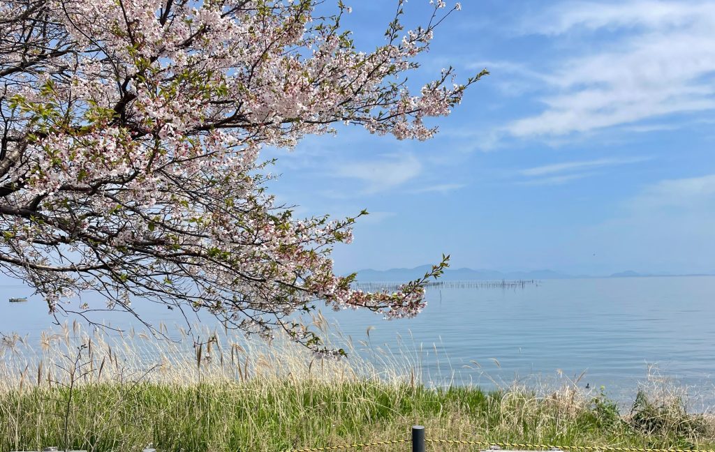
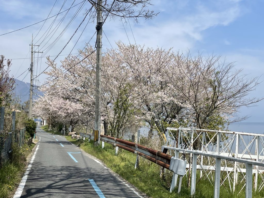
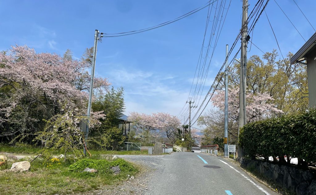
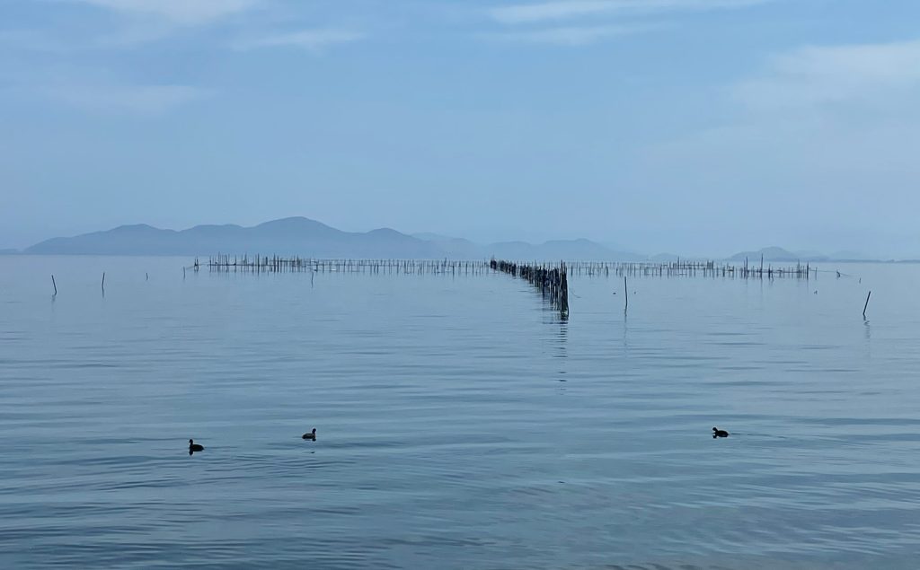
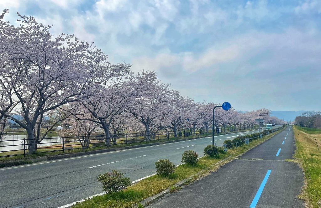
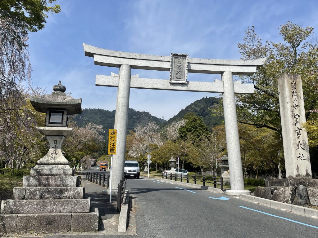
    We basically followed a solid line of cherry tree in bloom for the first 24 km, along the lake and up into the mountains. It was magical with the pink blossoms and the slightly foggy views over the lake.

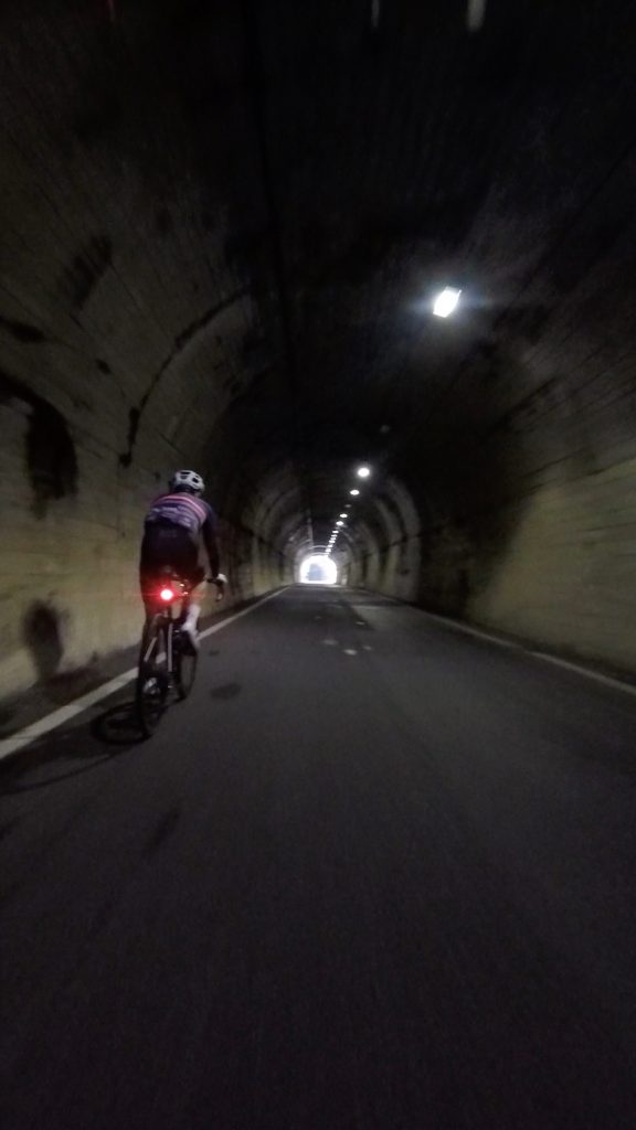
    The winding down had us with more views of the lake before passing a collection of temples and shrines and a couple of tunnels


    Followed the pink line of trees upwards as seen in these photos below

    We then picked up the lake shore again before another small climb through lovely forest and back down onto the cycle path. The small flat roads zig and zag through the paddy fields and villages which took us east towards Gifu.


    The busier outskirts of Gifu allowed us to use a combination of cycle ways and paths finishing along the Nagara river right behind our accommodation for the night, the Miyako Gifu.


    Sekigahara Battlefield Memorial

    Whether you have read Musashi, watched Shogun, Sekigahara or the Seven Samurai, this period of history is as vicious as it is popular. 

    The year is 1600 and Japan is divided into countless factions vying for power in an age of violence and turmoil known as the Warring States period. One foggy October morning, 160,000 samurai belonging to the eastern forces of Ieyasu Tokugawa and western forces of Mitsunari Ishida came head to head in a battle that ended up deciding the fate of Japan.

    The Battle of Sekigahara was the largest battle of Japanese feudal history and is often regarded as the most important. Mitsunari’s defeat in the battle of Sekigahara is generally considered to be the beginning point of the Tokugawa shogunate, which ruled Japan for another two and a half centuries until 1868.

  • Shogun Day 18: Kyoto to Lake Biwa

    Watch the Relive video here:https://www.relive.com/view/vYvrwVYzxxO

    On the Road – Distance 95km / 59mi | Elevation 1005m | 3297ft


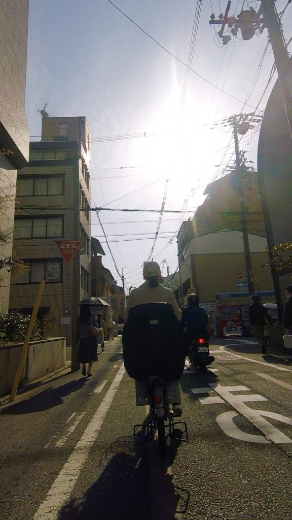
    As we left Kyoto the traffic was busy, especially with local cyclists going to work or dropping their children off at school, but Japanese drivers are almost always super polite. ( more on the Relive video).

    With all our climbing done and dusted in the first 22kms, ( the climb was 8.7 km @ 5.8%), we had a beautiful descent and well earned flatter day today cruising along Lake Biwa.

    We rode through some small towns and across rice paddy farms.


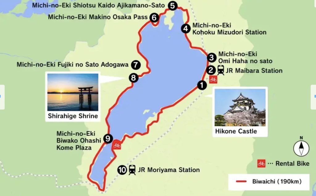
    The Lake Biwa Ichi Cycling Route is renowned for its scenery of wooded avenues, pretty villages and cherry blossom but it can get quite busy! We cruised anti-clockwise to access the northern shores and stay to the quieter (relatively!) section of this bike route. The last 10 km into Lake Biwa had a solid row of cherry trees with blossoms in full bloom…754 of them!


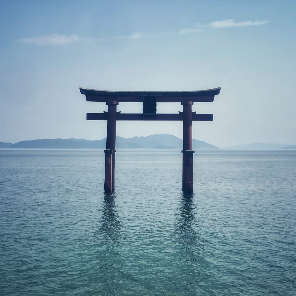
    There were many reasons to take this slowly, from the 2000 year old Shirahige Shrine…


    …to sake breweries and an ancient restaurant that sells funazushi, a local style of sushi using fish that has been fermented for three years!! It is certainly an acquired taste, but one sushi-lovers shouldn’t miss the opportunity to try (sometimes it is good to be a vegetarian!), I liked it!

    One of the oldest sake breweries in Japan

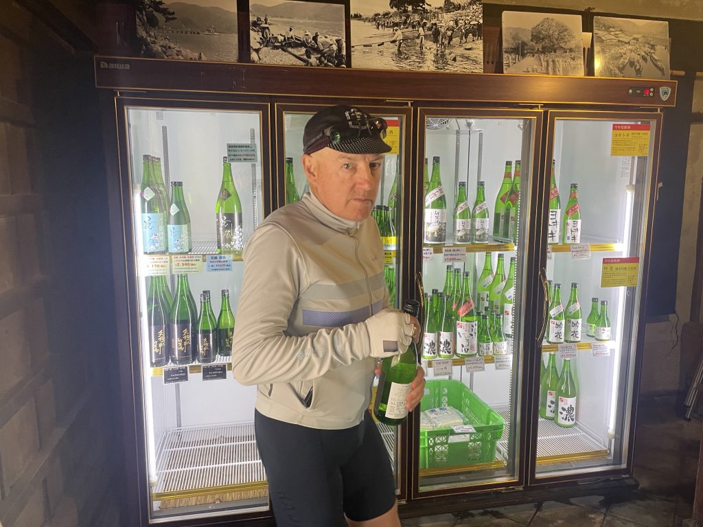
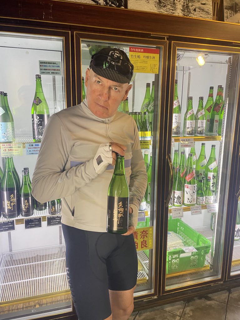
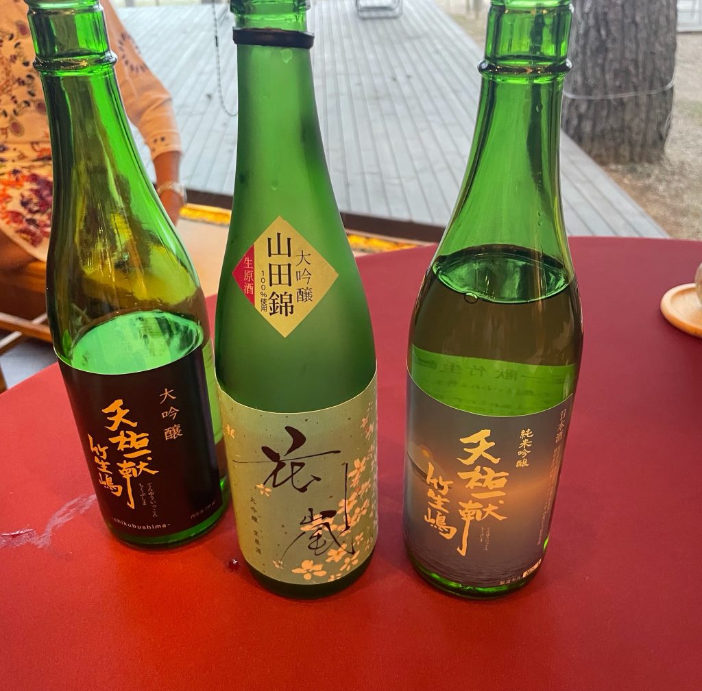
    Riders Tom and Seth chose 3 types of sake for our tasting pleasure tonight after we toured the sake brewery

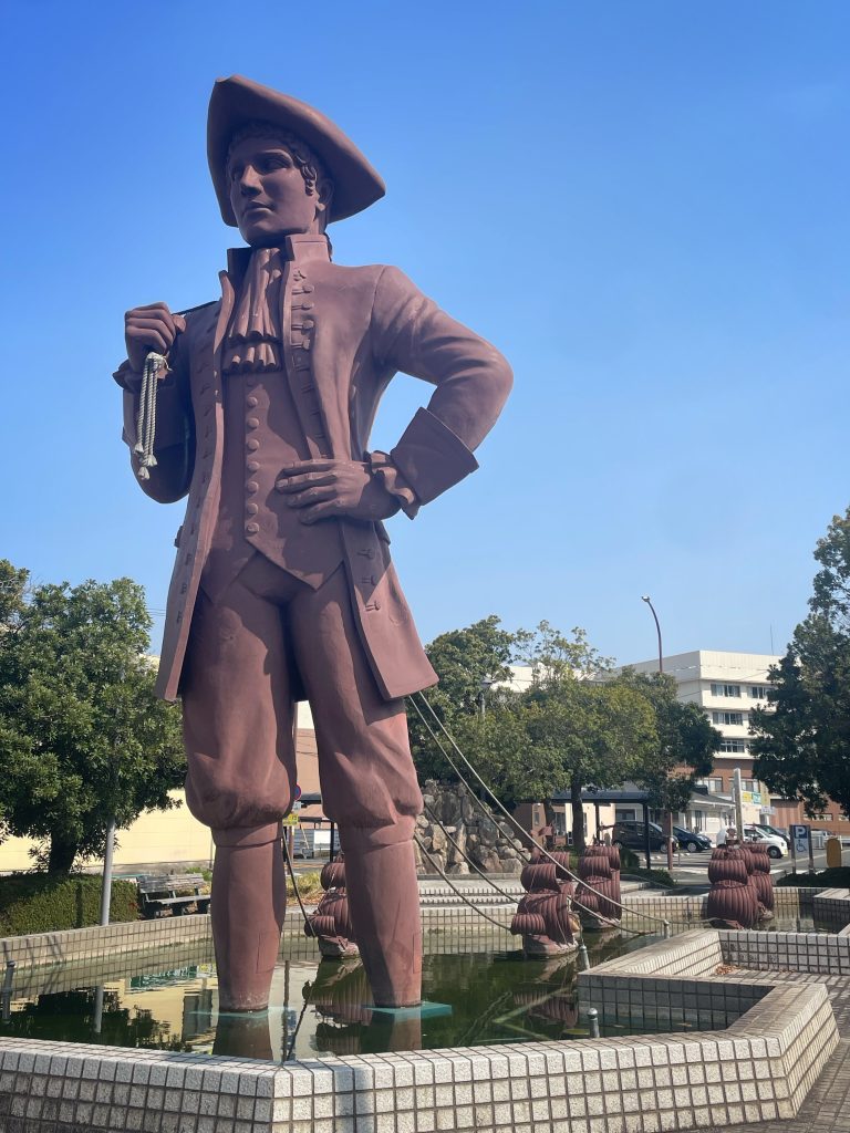
    A large statue of Gulliver along the way, did he pass through here on his ‘travels’??….I’m glad I saw this before the sake!

    Lake Biwa Ichi Cycling Route

    Famous in Japan, we joined this route on our way today making for a relaxing lakeside ride to end the day. 

    Destination Lake Biwa

    Situated in the center of Shiga Prefecture, the lake takes its name from its natural shape, which resembles a biwa, a traditional Japanese lute. With around 235 kilometers of shoreline to explore, Lake Biwa has plenty to do, from swimming and pleasure cruising to strolling and island-hopping.

    Lake Biwa is Japan’s largest and believed to be one of the world’s oldest lakes, formed at least four million years ago. Known for its biodiversity, Lake Biwa is home to an array of endemic species, from fish and birds to rare mollusks.

    Life is Good in Lake Biwa!

    Sayonara

  • Shogun Day 16: Kyoto Rest


    Riders for Stage 2 arrived today, Rbert and Evelyn from Sydney and we lost Janice, Sally, Lance, Aiden and Tina…Team Samurai will ride on without them unfortunately.

    Rest, laundry and sight seeing in such a contrasting environment to our last 4 days riding.

    Kyoto is a true highlight of Japan and you can wander in any direction and it will always be interesting! Our hotel is fantastically located for just this!
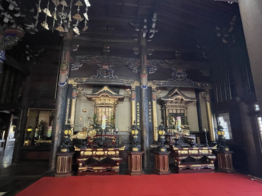
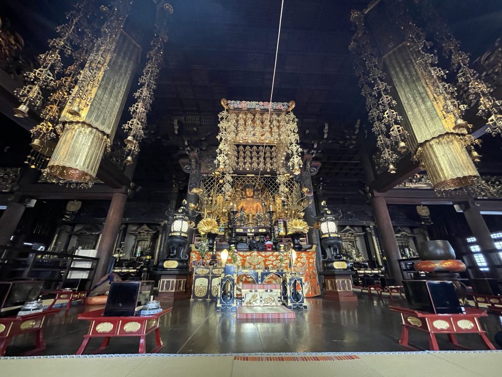
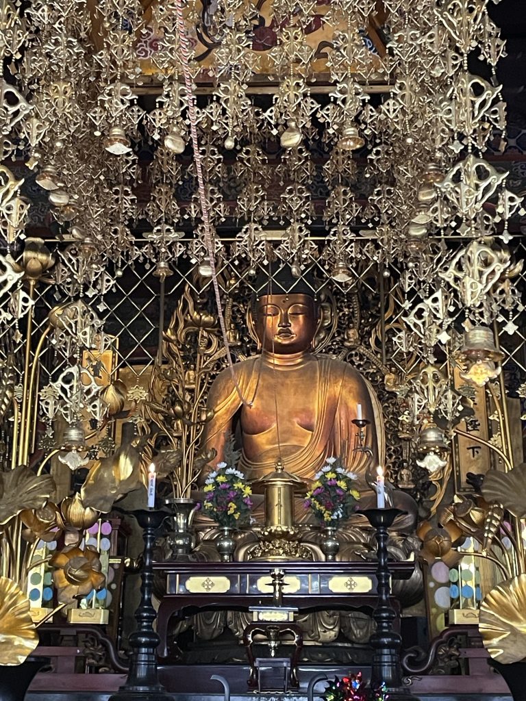
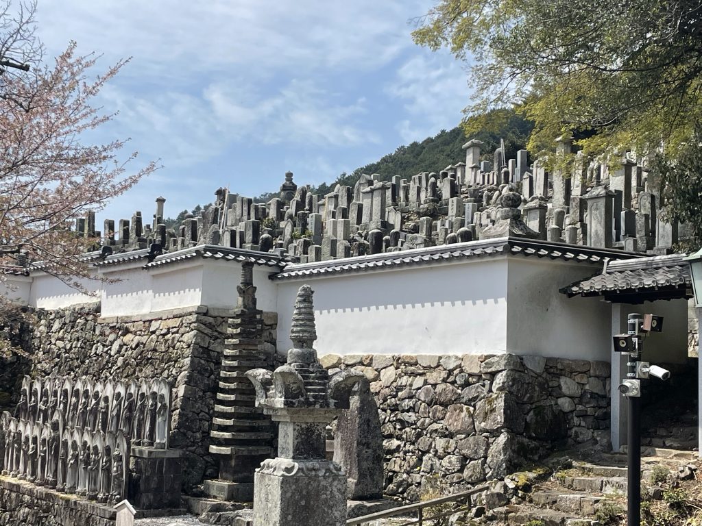
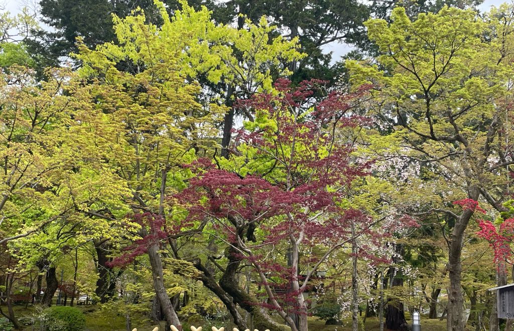
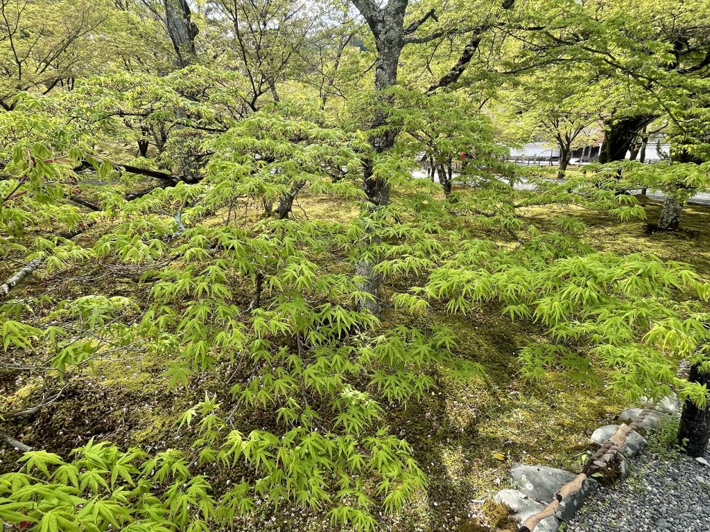
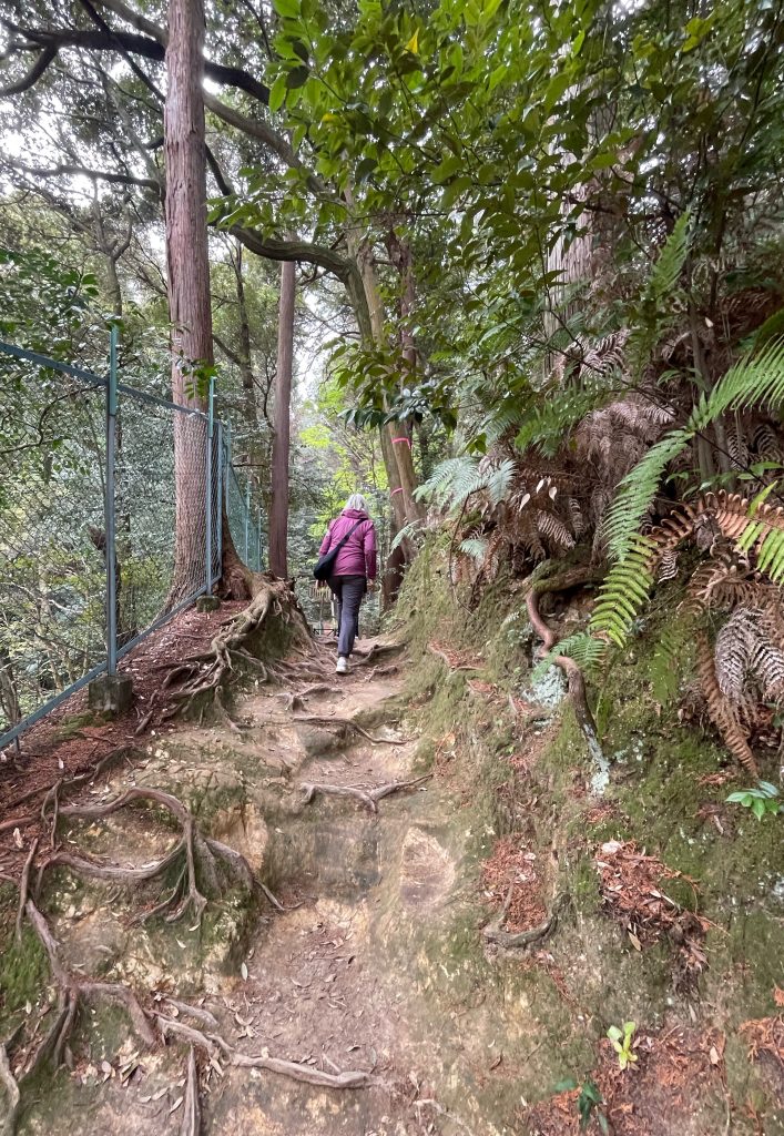
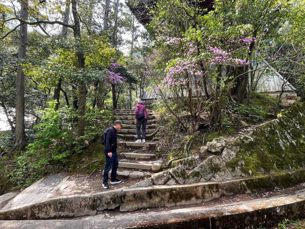
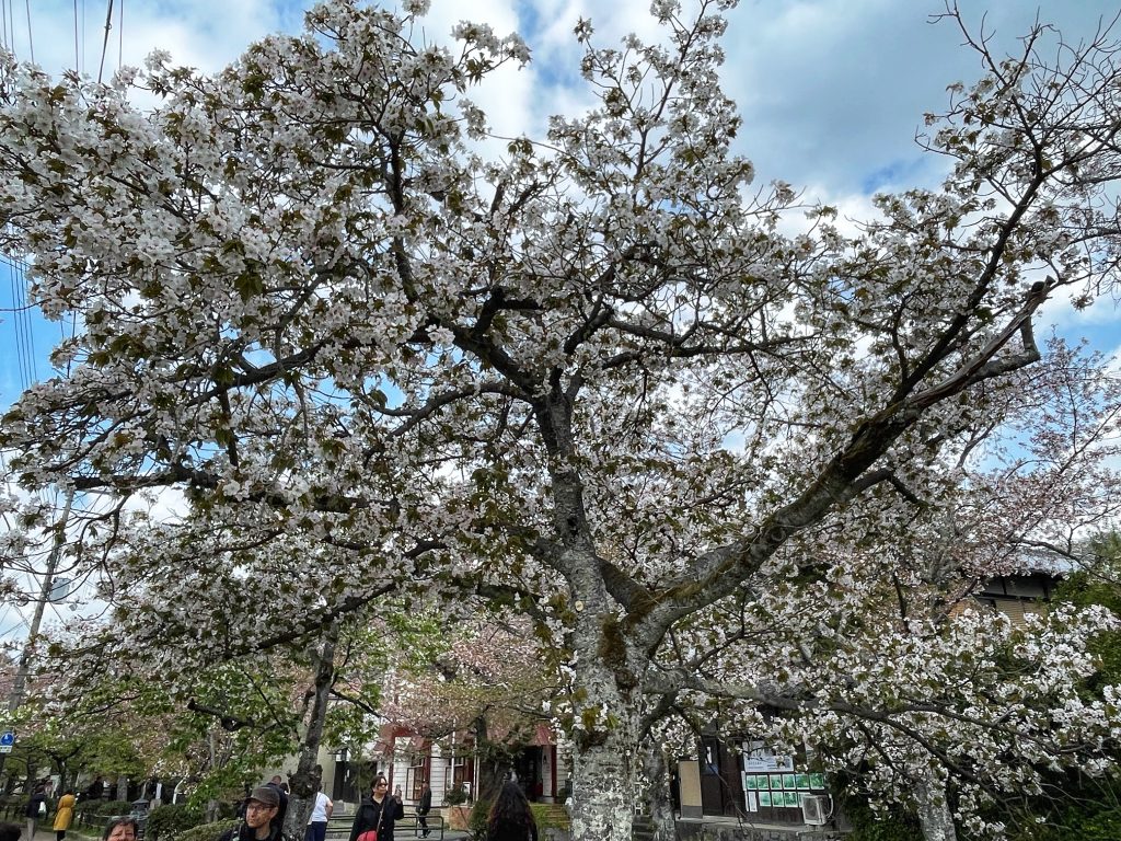
    We did not have time to see a lot of the sights of Kyoto so we chose a few and sought them out. ( it is a rest day after all!). I was with Moyra and Seth. First up was Erikando Temple with its beautiful forest paths, moss gardens and Japanese cut leaf maples.

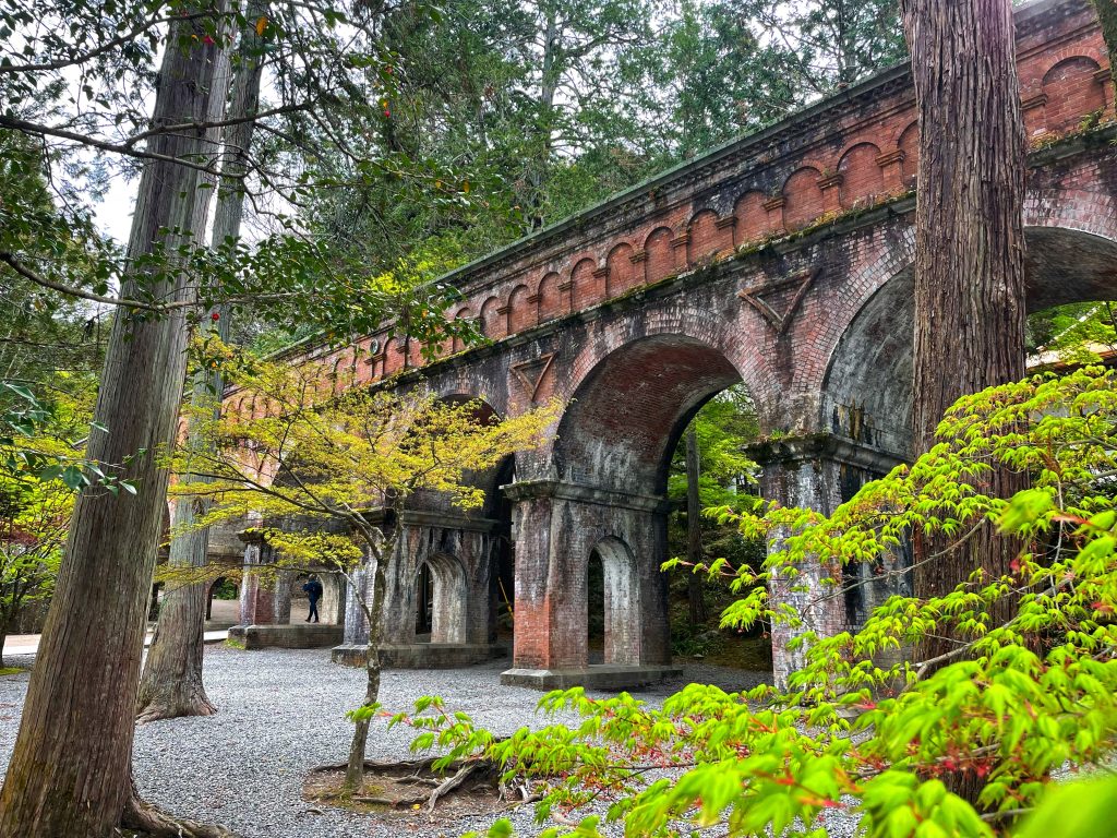
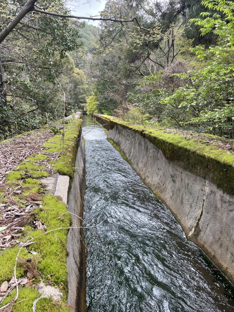
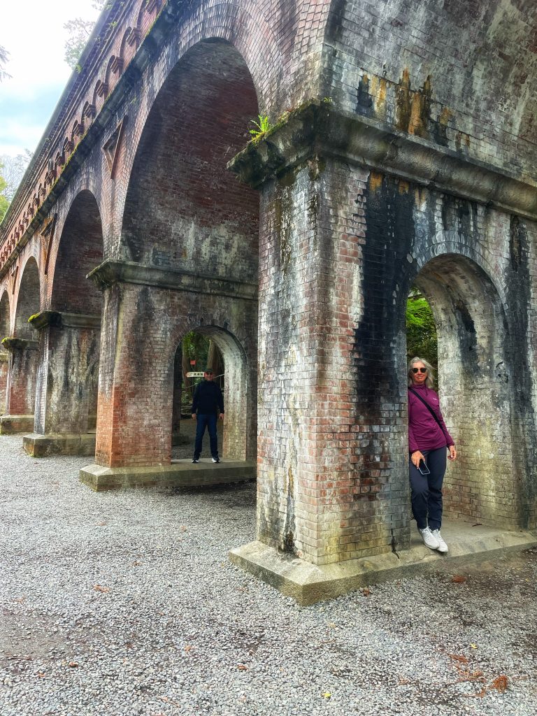
    An old still functioning viaduct…


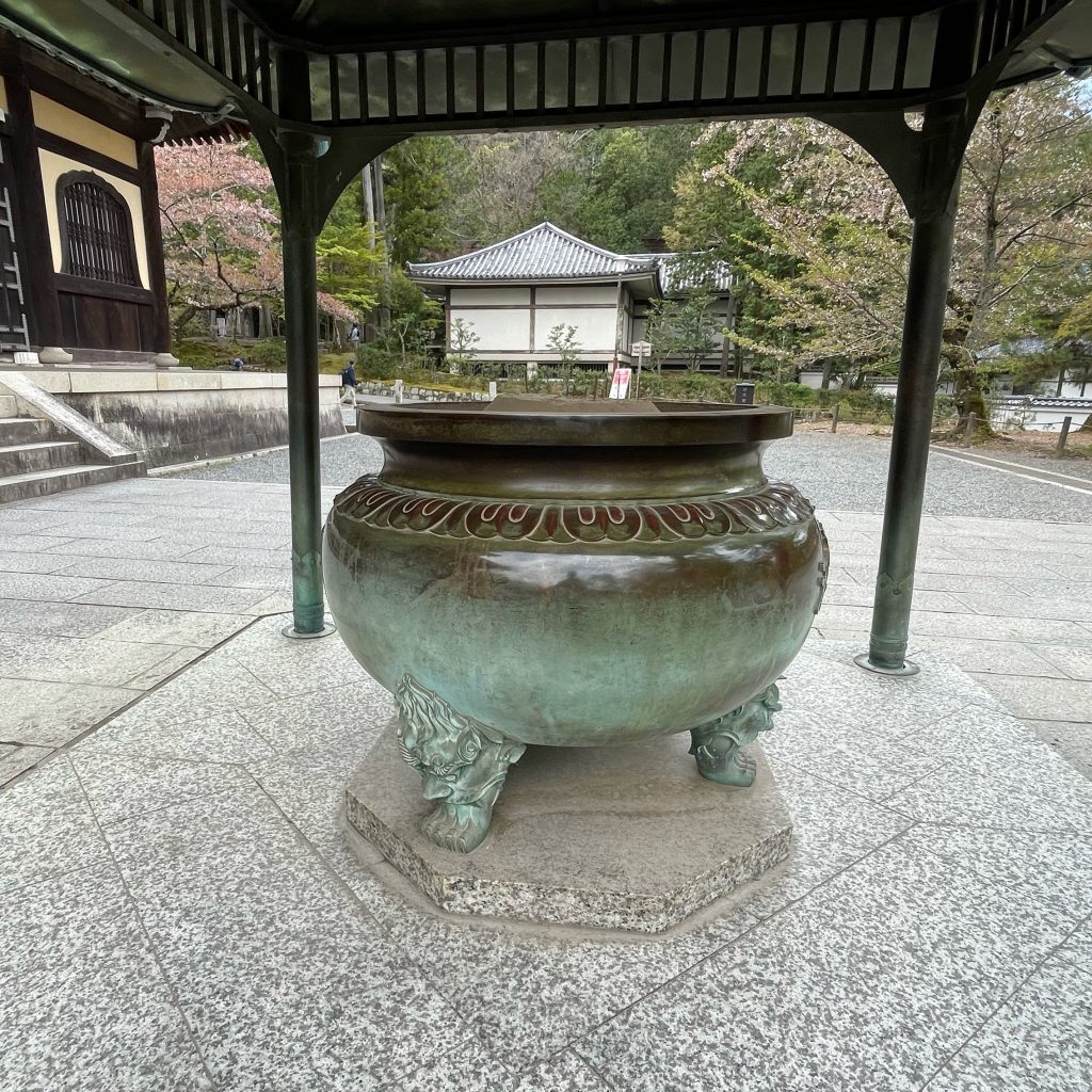
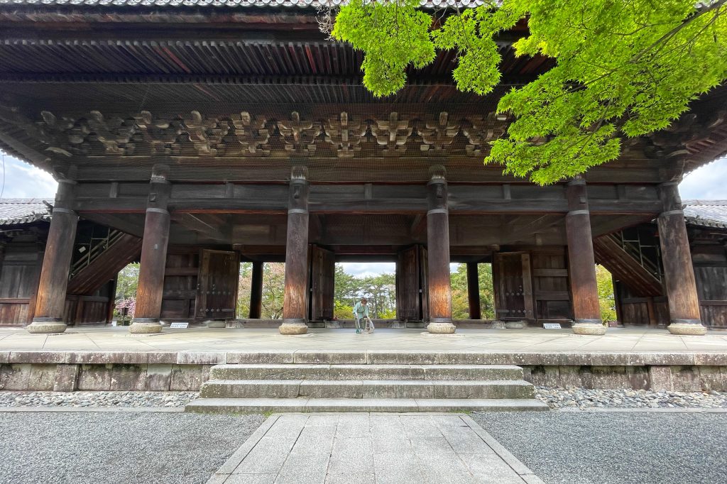
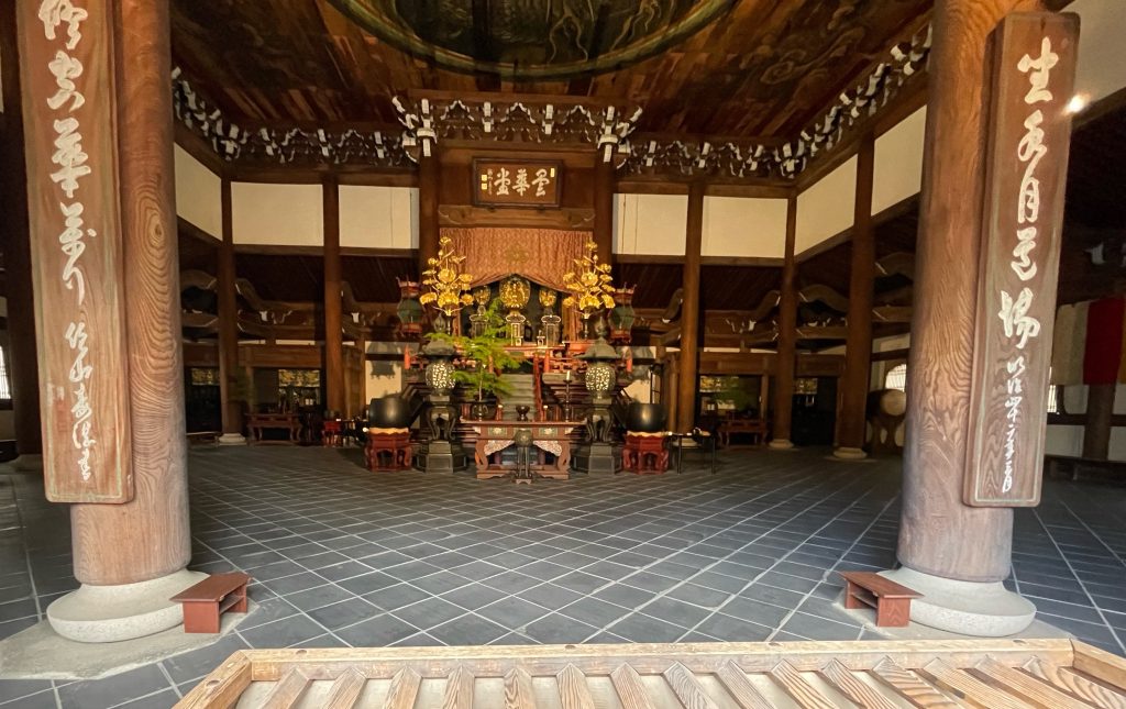
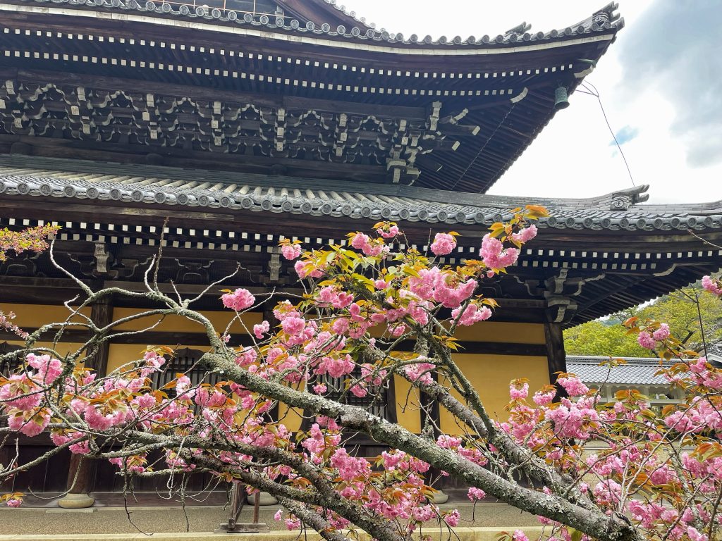
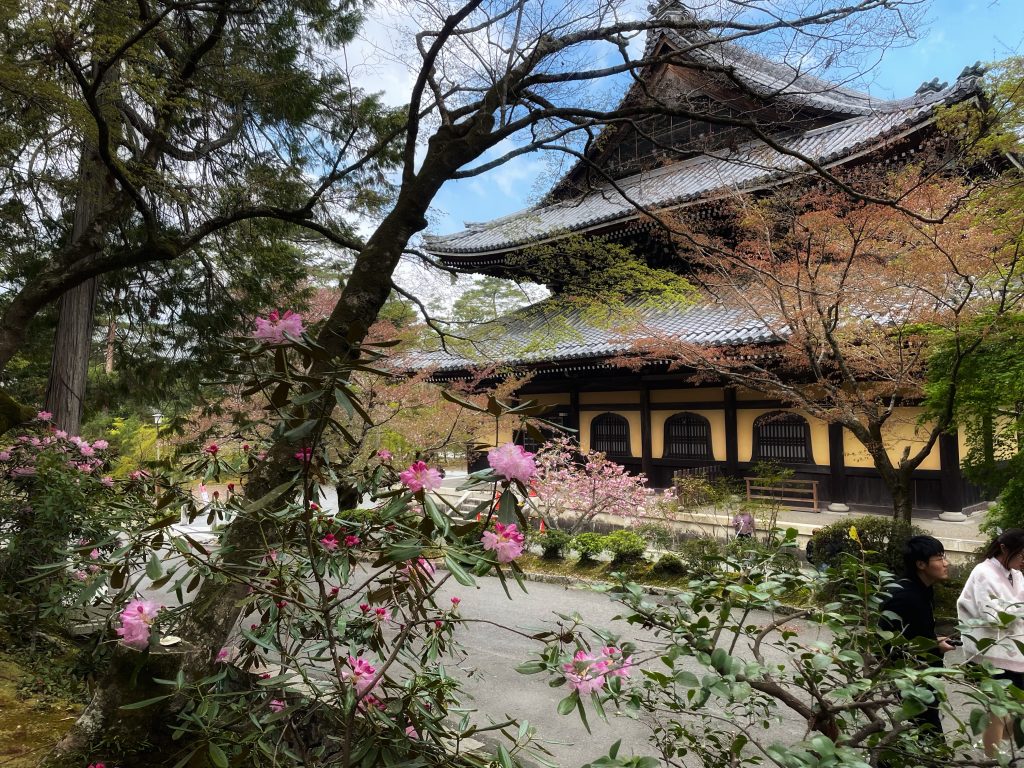
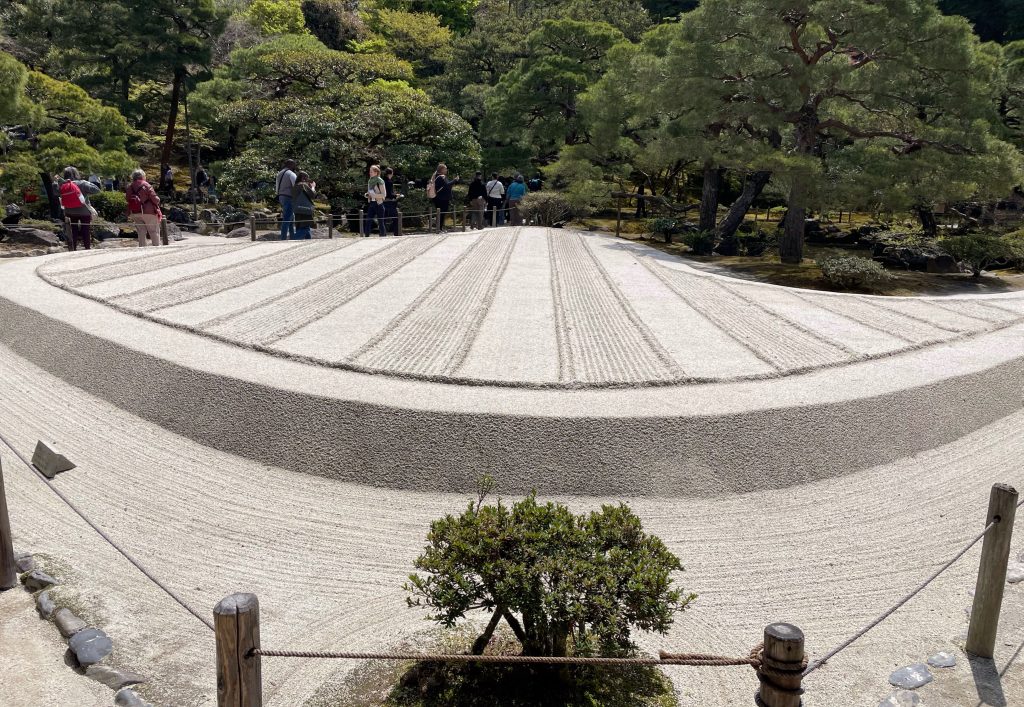
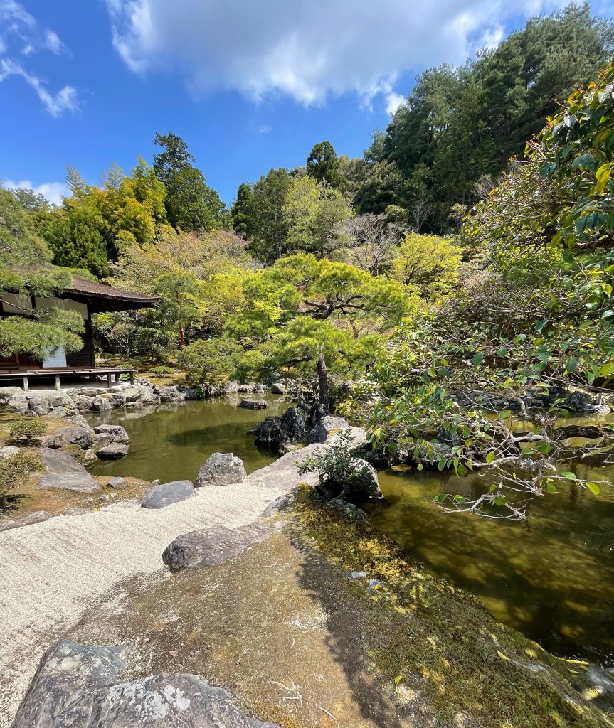
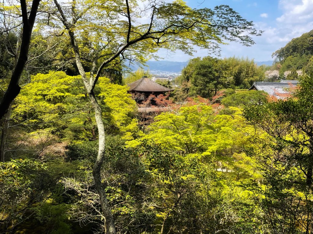
    From here we walked along the famous Philosopher’s Walk to the Nansen-Ji Temple aka the Silver Palace.

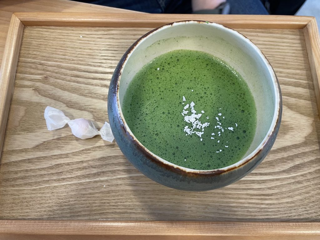
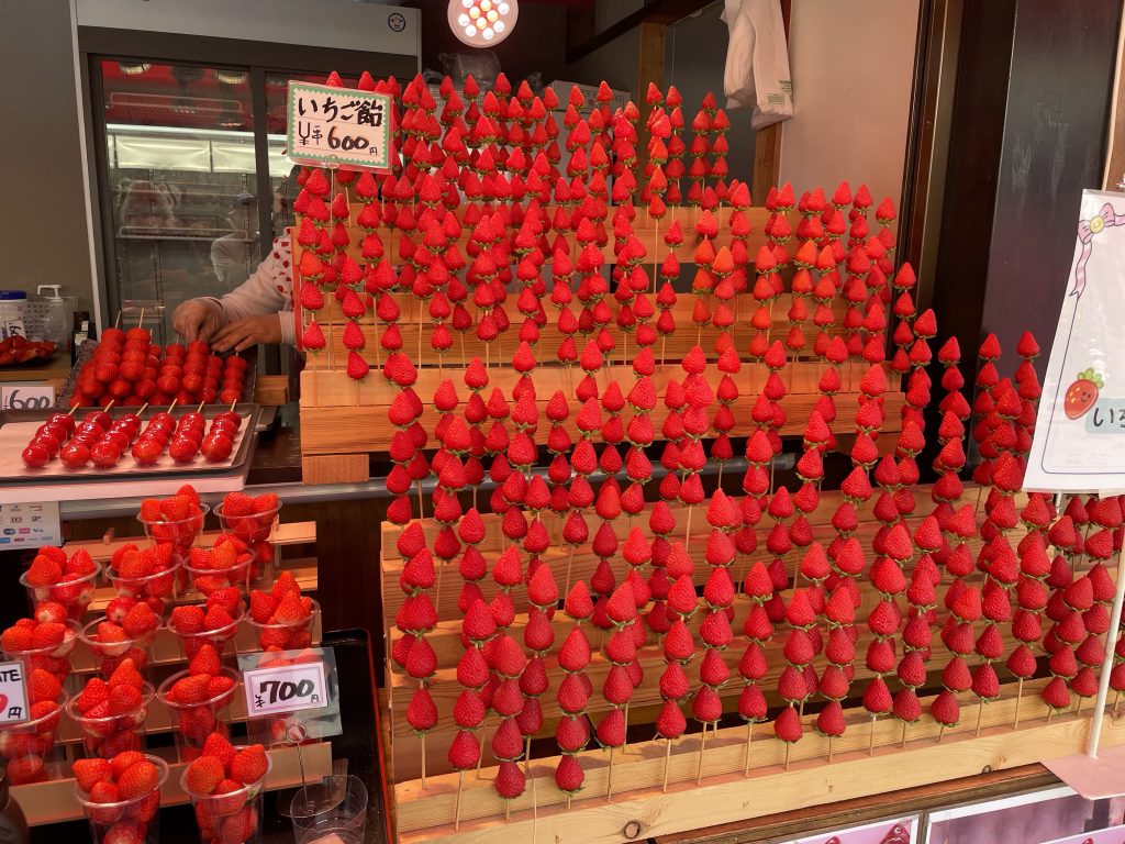
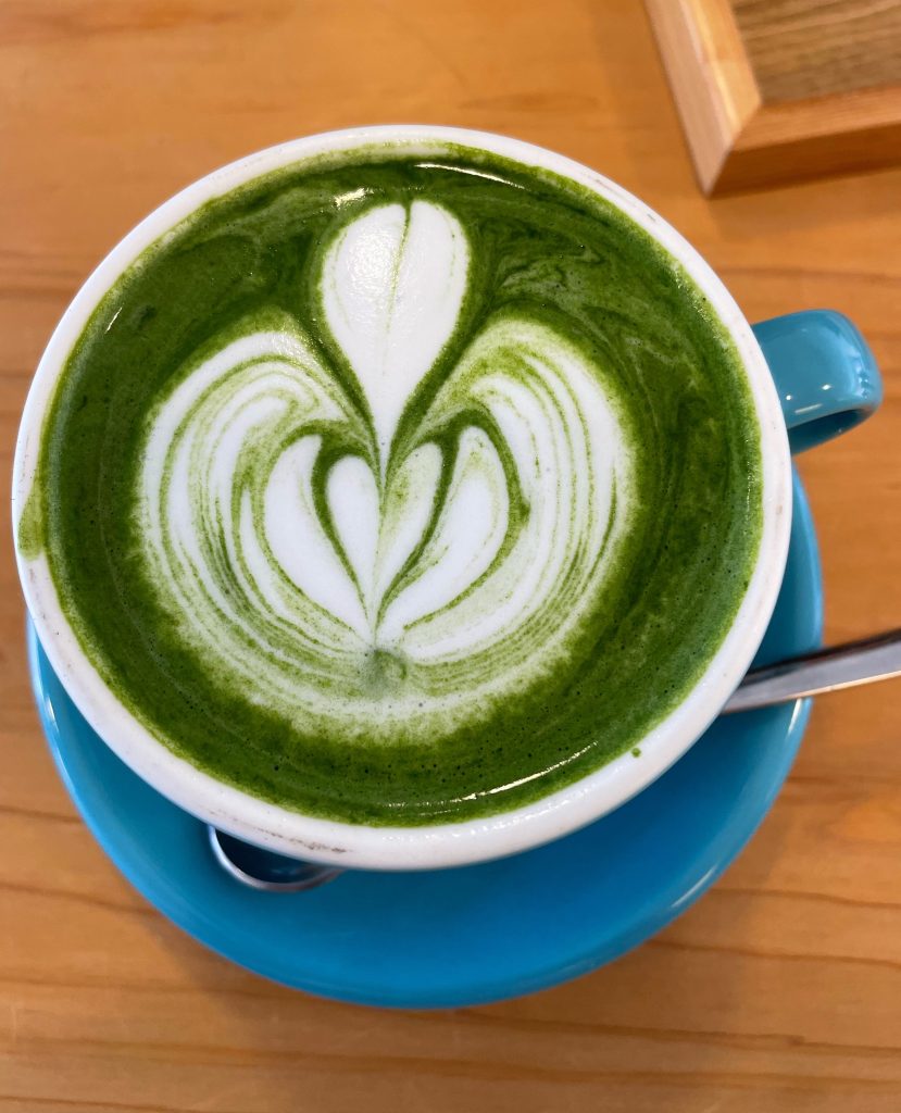
    Before going into the Silver Palace grounds we had some fresh strawberries and delicious matcha tea, and a matcha latte


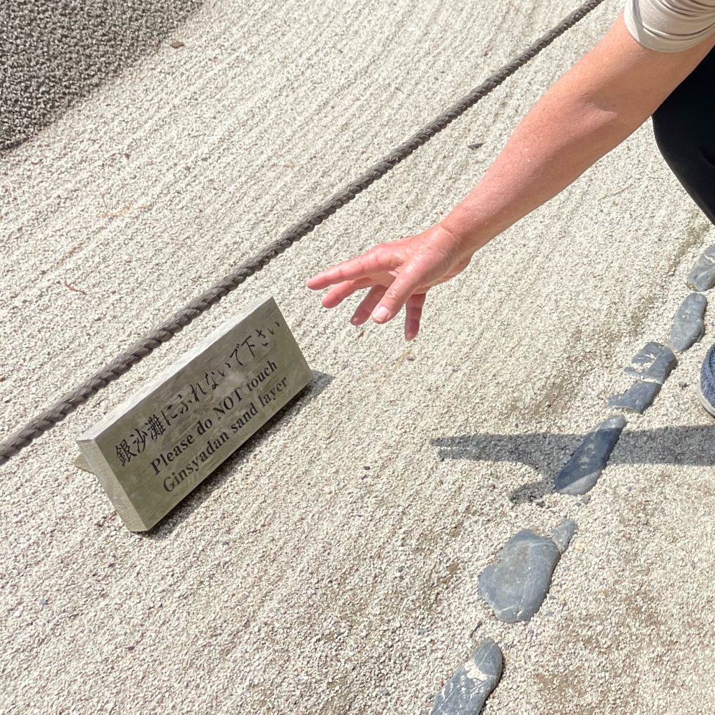
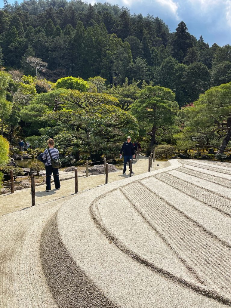
    Fine pebble gardens in the Silver Palace…

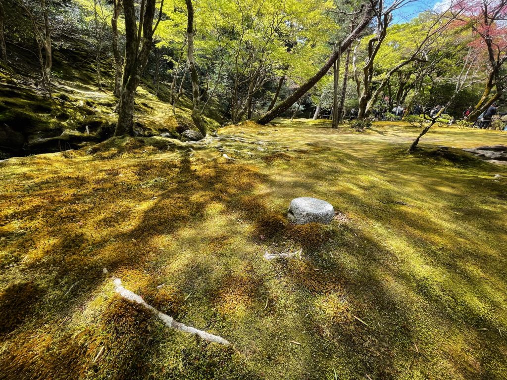
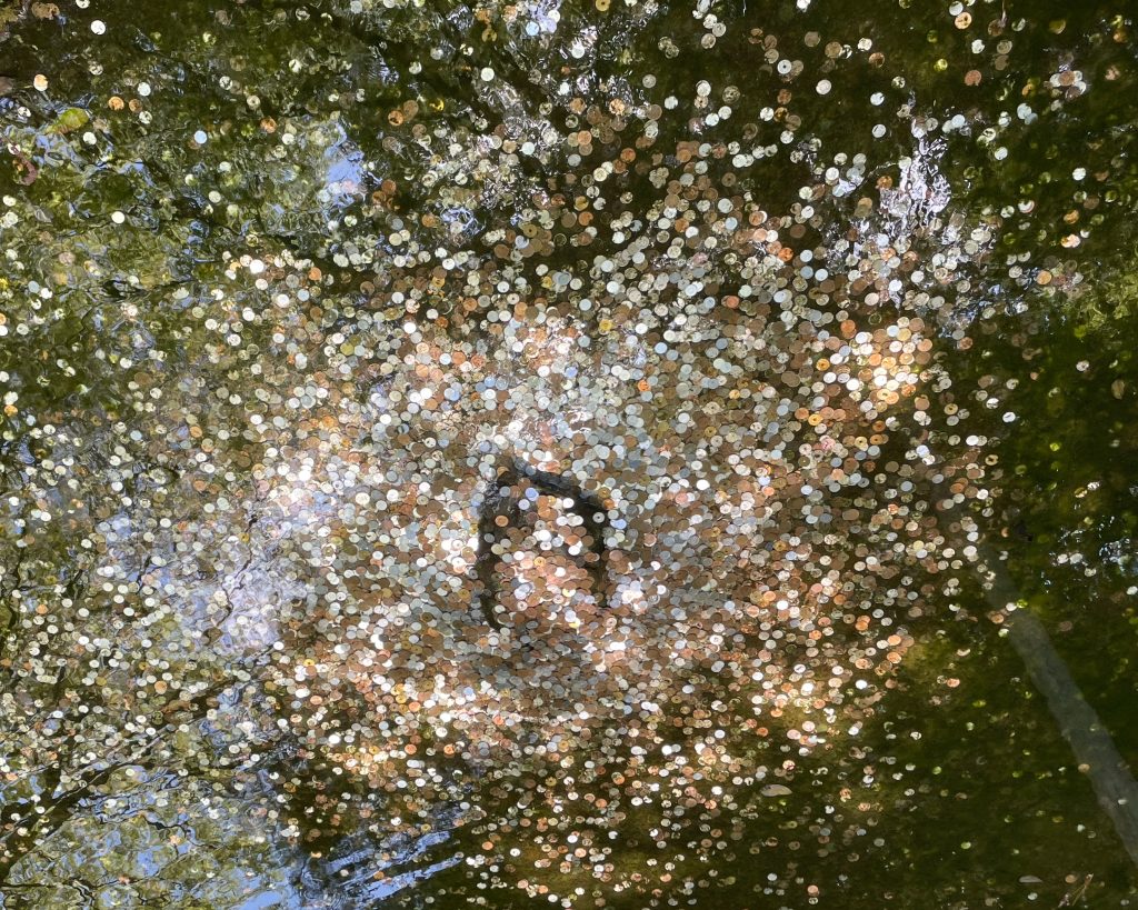
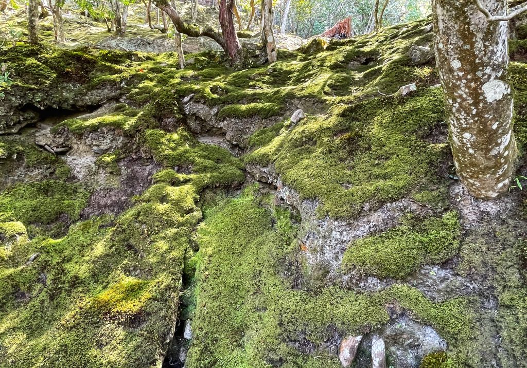
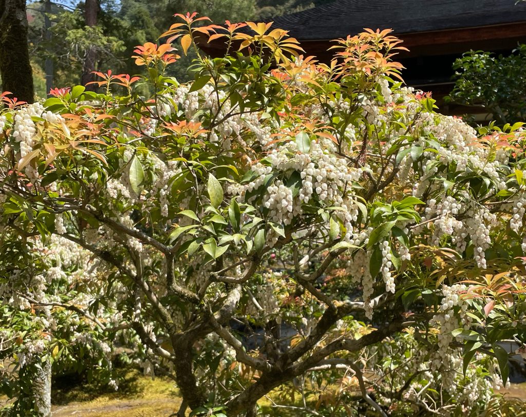
    More moss gardens …and coins in the pond

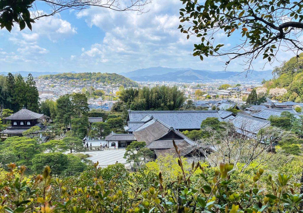
    A nice view of the city in the background


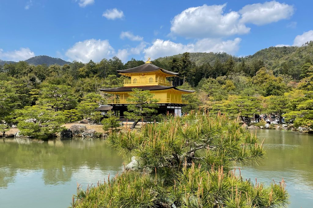
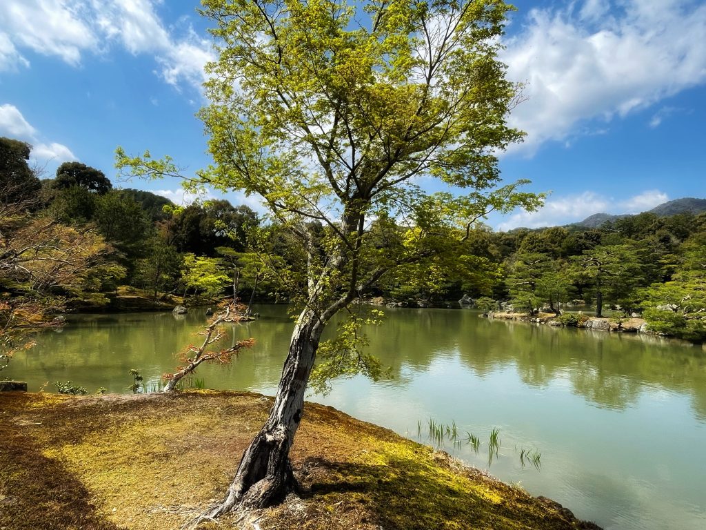
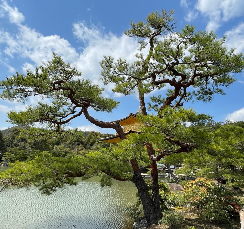
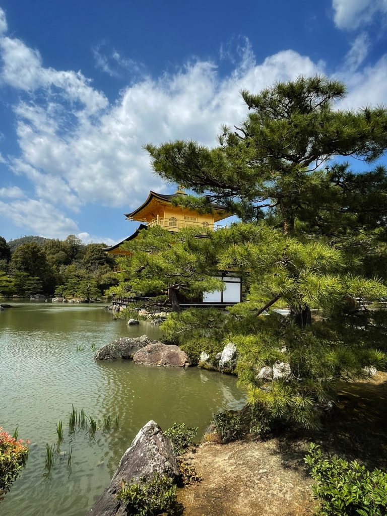
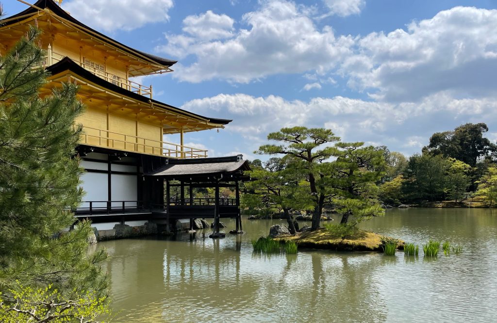
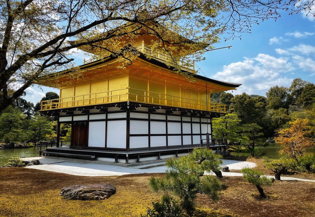
    Then on to the Kinkaku Temple aka the Gold Palace..


    Kyoto – The City

    Nestled among the mountains of Western Honshu, Heian-kyō (which translates to “capital of peace and tranquillity”), the former name of Kyōto, was the capital of Japan and the seat of the imperial court from 794 until the Meiji Restoration in 1868.

    The city, built on the model of the ancient Chinese capital, modern-day Xian, was the religious, commercial, and artistic hub during the Heian period, and preserved its significance as a seat of power even after 1868 when the capital was moved to Edo (now Tōkyō).

    Nowadays, Kyōto is the 8th largest city in Japan, with a population of close to 1.5 million. With over 1,200 Buddhist temples and 400 Shintō shrines, it is depicted as the heart of Japan where past and present coexist together in perfect harmony.

    Despite the major industrial revolution of the Meiji period, wandering around Kyōto is still like a blast from the past: the ancient temples, shrines, inns, and palaces represent exactly what old Japan is in the global imaginary.

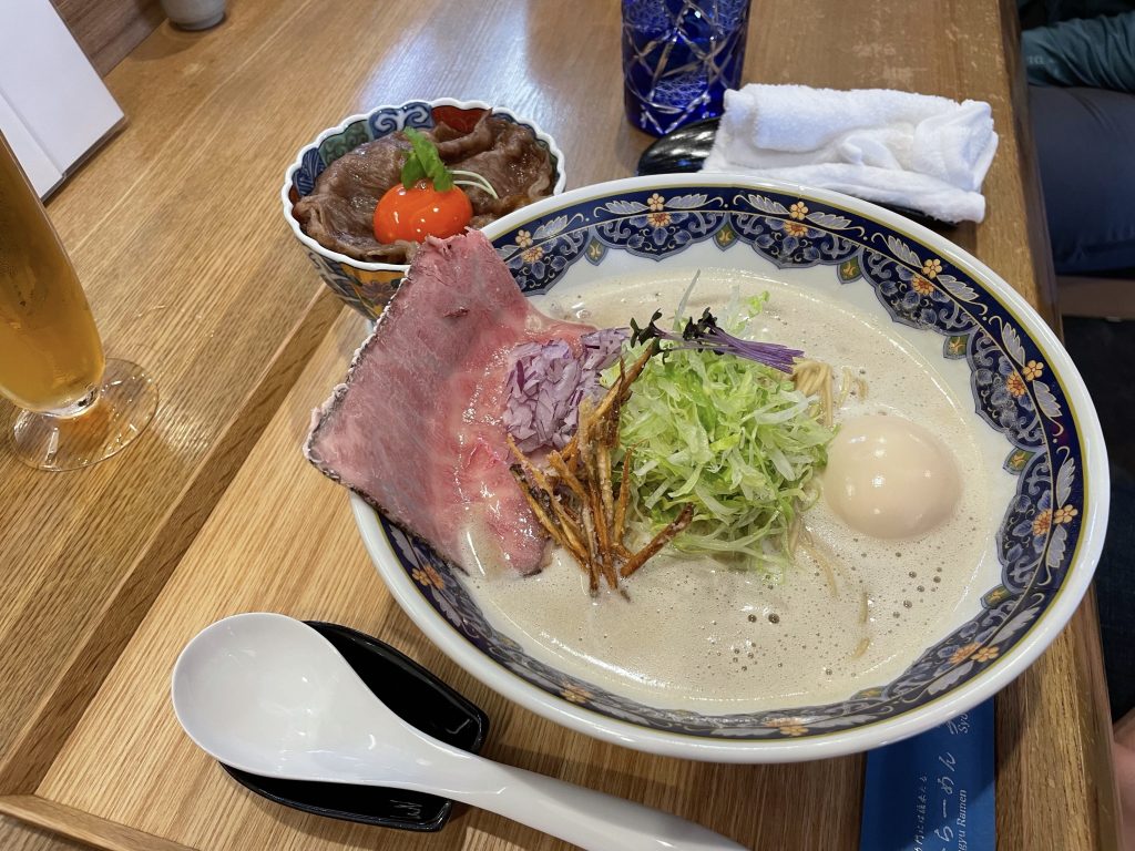
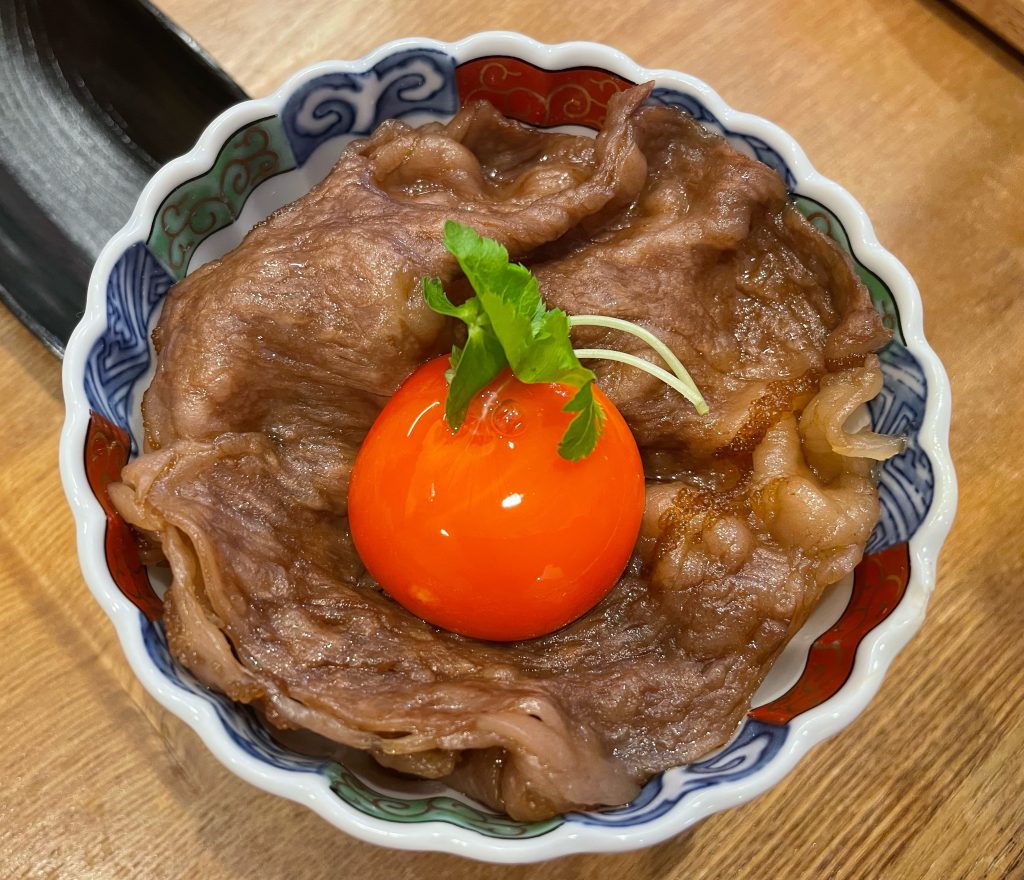
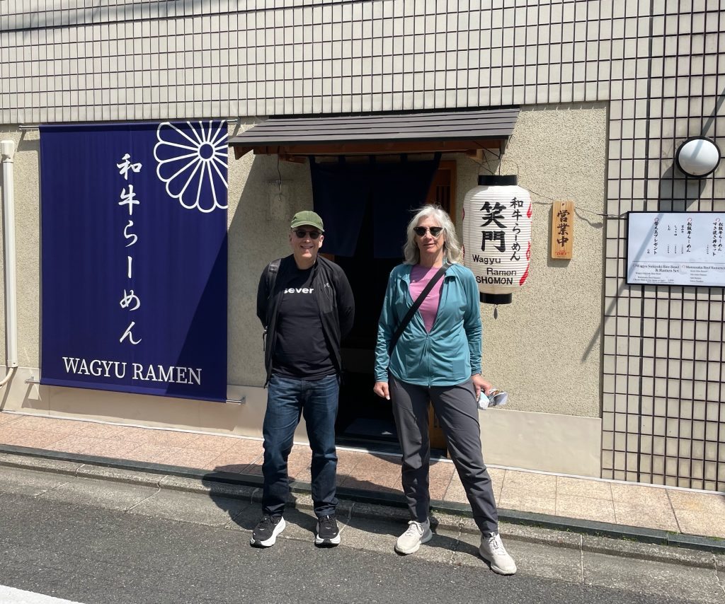
    And of course some lunch of ramen in Kyoto miso with wagyu beef on ride with egg…note the colour of the egg yolk!

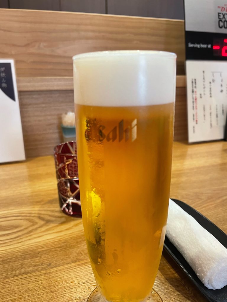
    and an ice cold Asahi chilled perfectly to -22C!

    Stage 2 starts tomorrow

    Life is Good in Kyoto!

    Sayonara