”how do you tell when you’re out of invisible ink?”…
Please watch the Relive video( in 2 parts due to my error)here:https://www.relive.cc/view/vxOQjRNYN26
and: https://www.relive.cc/view/vPv4VEXXkR6
On the Road: 62 miles/ 100 km. I Elevation 3,272 ft / 998 metres
A magnificent day of riding and exploring! We had dry conditions all day and prolonged periods of sun. Not as much climbing as the previous 2 days but still over 3000 ft.
Leaving Balestrand we headed north re-tracing the inlet to Dragsvik where we caught our first ferry just 10 km into the day.
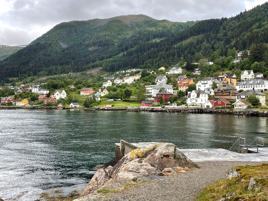
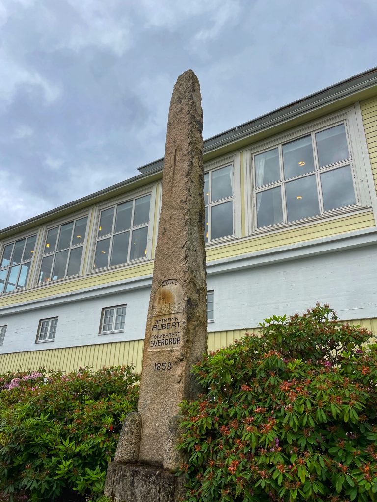
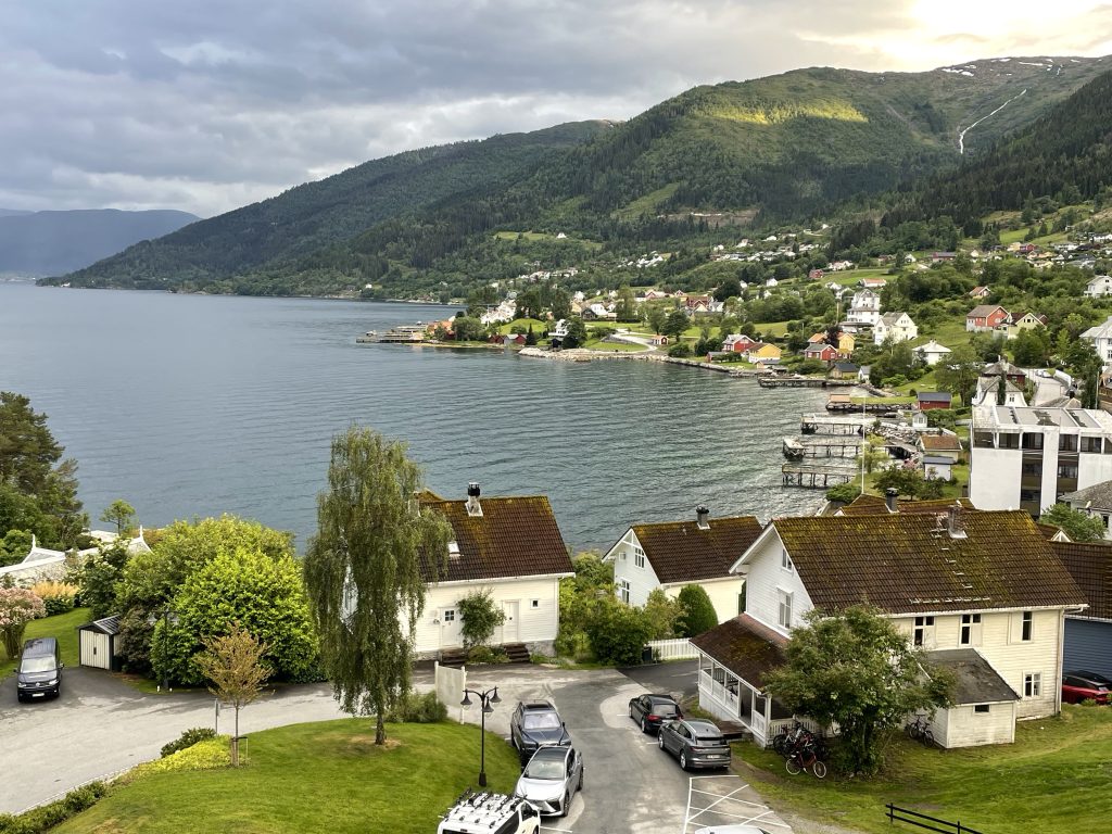
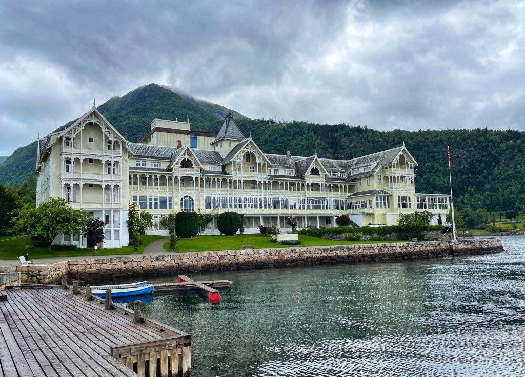
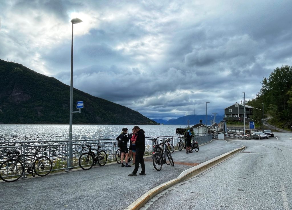
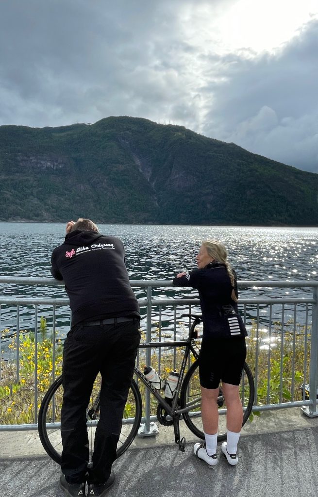
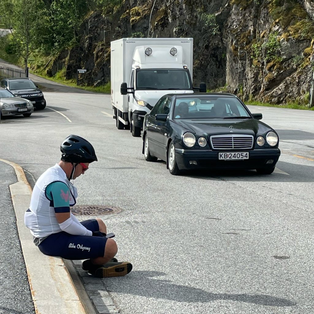
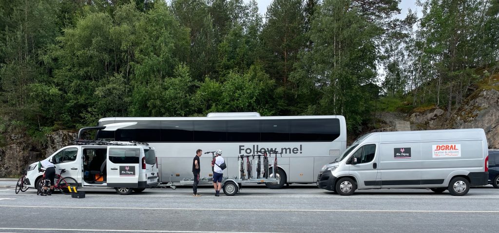
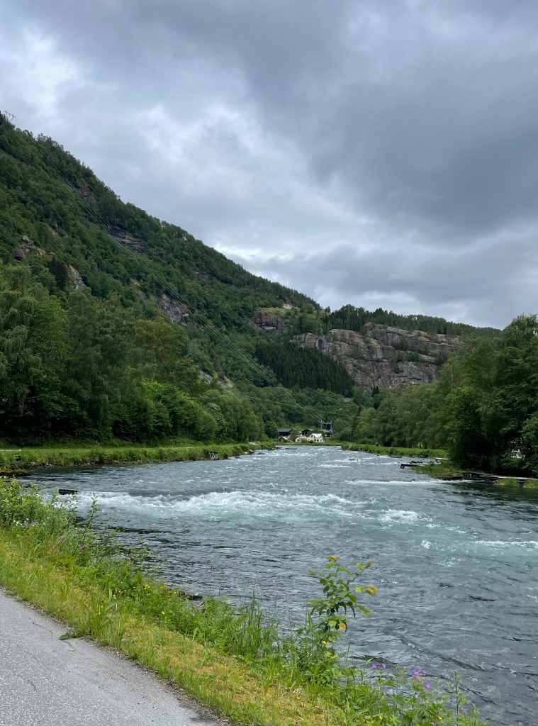
Then continuing along the Sognefjord we traversed the Leikanger region to the Sogndal region and finishing in the Luster region. The water was at our side (right then left!) the whole day as we followed the bike path and smaller roads, looping around tunnels and riding through groves of fruit trees – apples, pears and berries.
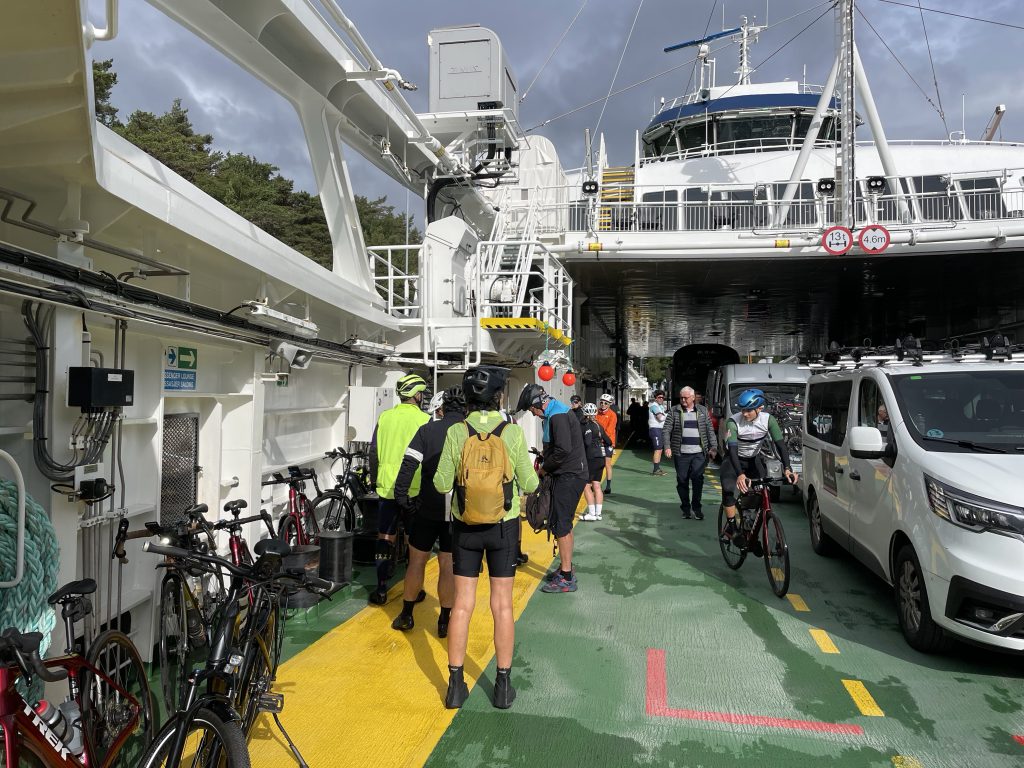
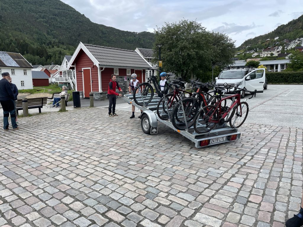
We rode to picturesque Solvorn, a tiny, quaint and beautiful village on the fjord where we board our classically historic ferry.
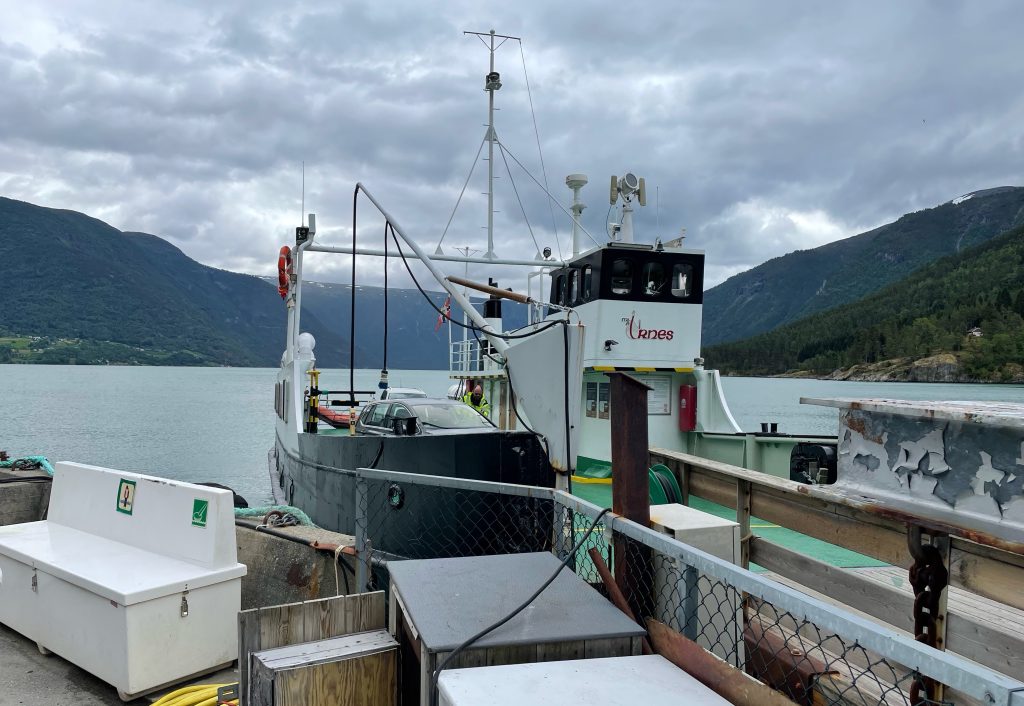
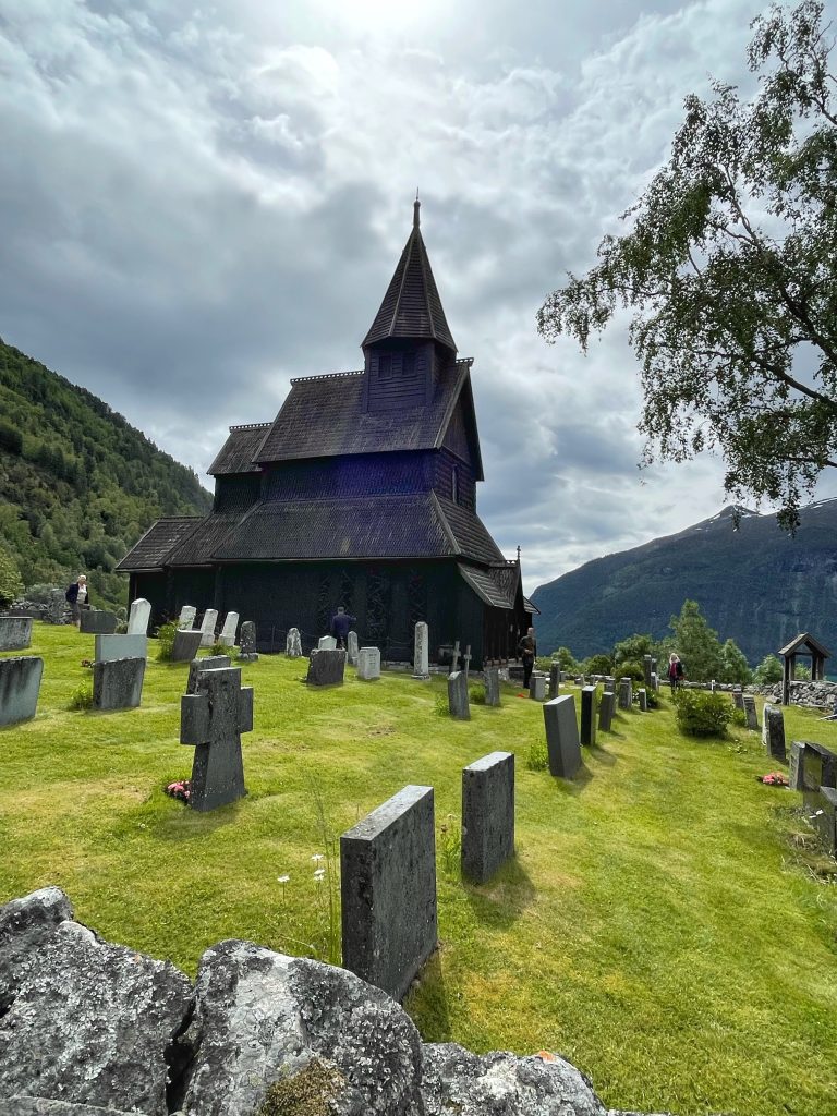
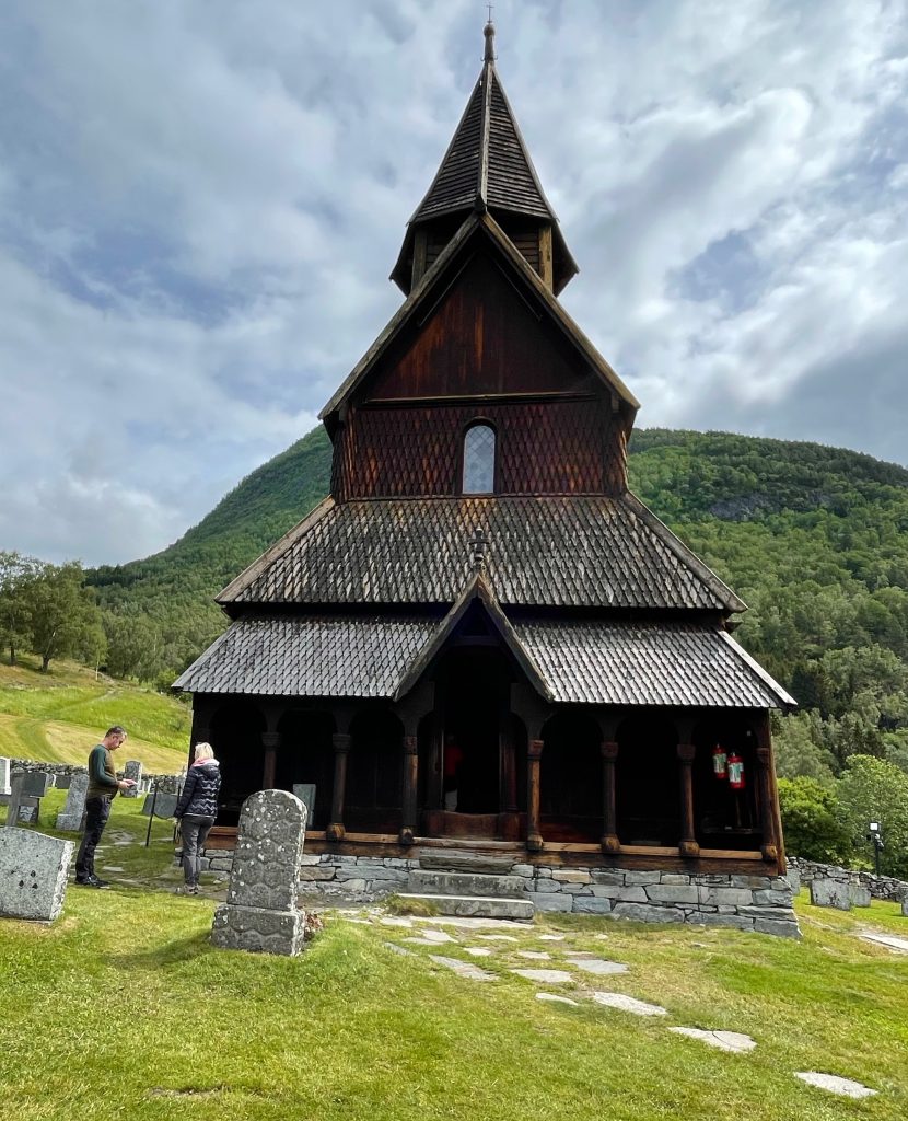
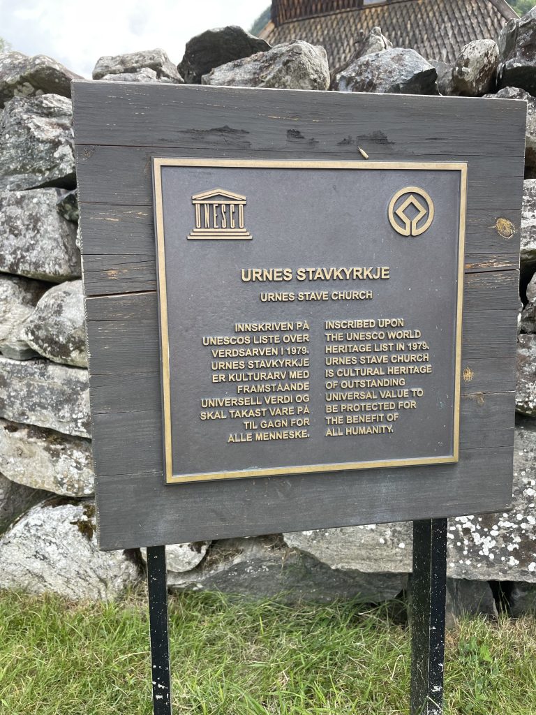
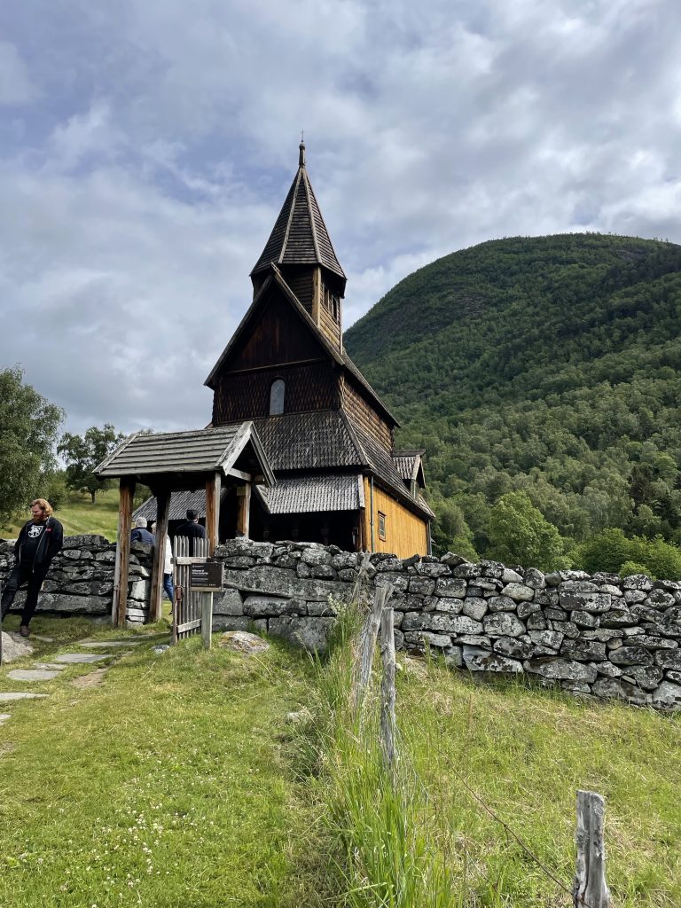
After jumping off the ferry we rode 1km@11% up to the UNESCO listed Urnes stave church, one of the oldest examples of a Norwegian stave church which has exceptional craftsmanship.
Urnes Stave Church is situated on a promontory in the remarkable Sognefjord on the west coast of Norway. The stave churches constitute one of the most elaborate and technologically advanced types of wooden construction that existed in North-Western Europe during the Middle Ages. The churches were built on the classic basilica plan, but entirely of wood. The roof frames were lined with boards and the roof itself covered with shingles in accordance with construction techniques which were widespread in Scandinavian countries. Among the roughly 1,300 medieval stave churches indexed, 28 are preserved in Norway today.
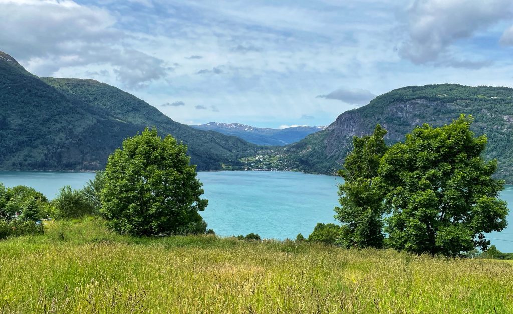
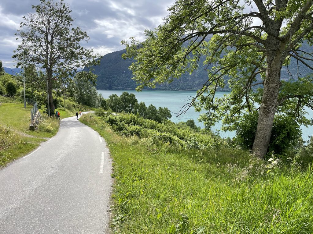
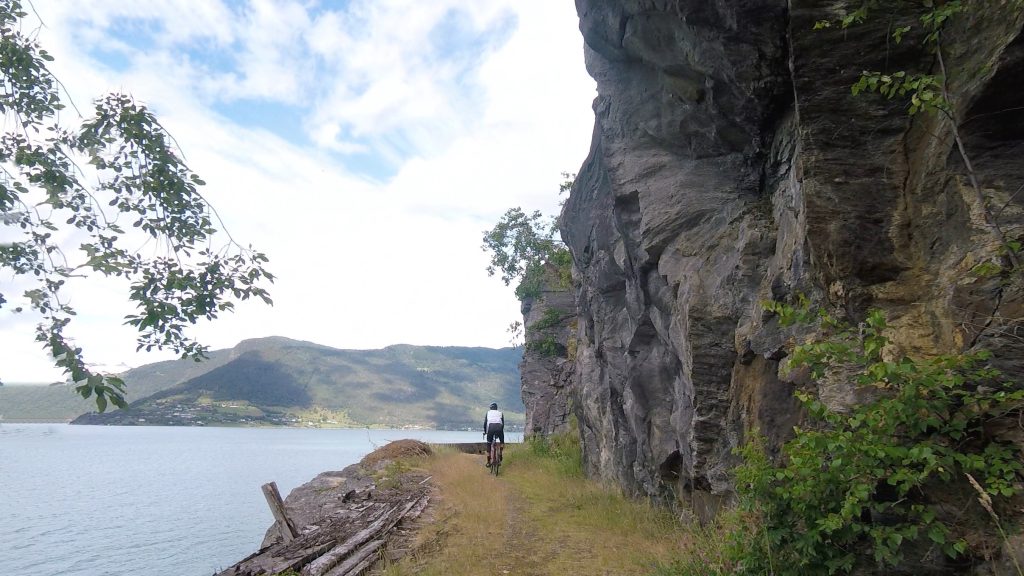
Then we rolled onto the aptly named ‘Romantic Road’. This tiny perfectly surfaced path was fantastic remote riding along the coast overlooking the world’s longest fjord, Sognefjord, in the foothills of the mighty Jotunheimens Mountains. A nice lunch at a quaint and eclectic cafe on the water at Feigom.
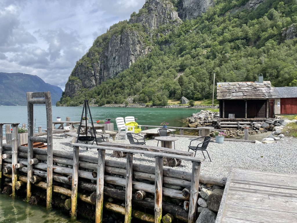
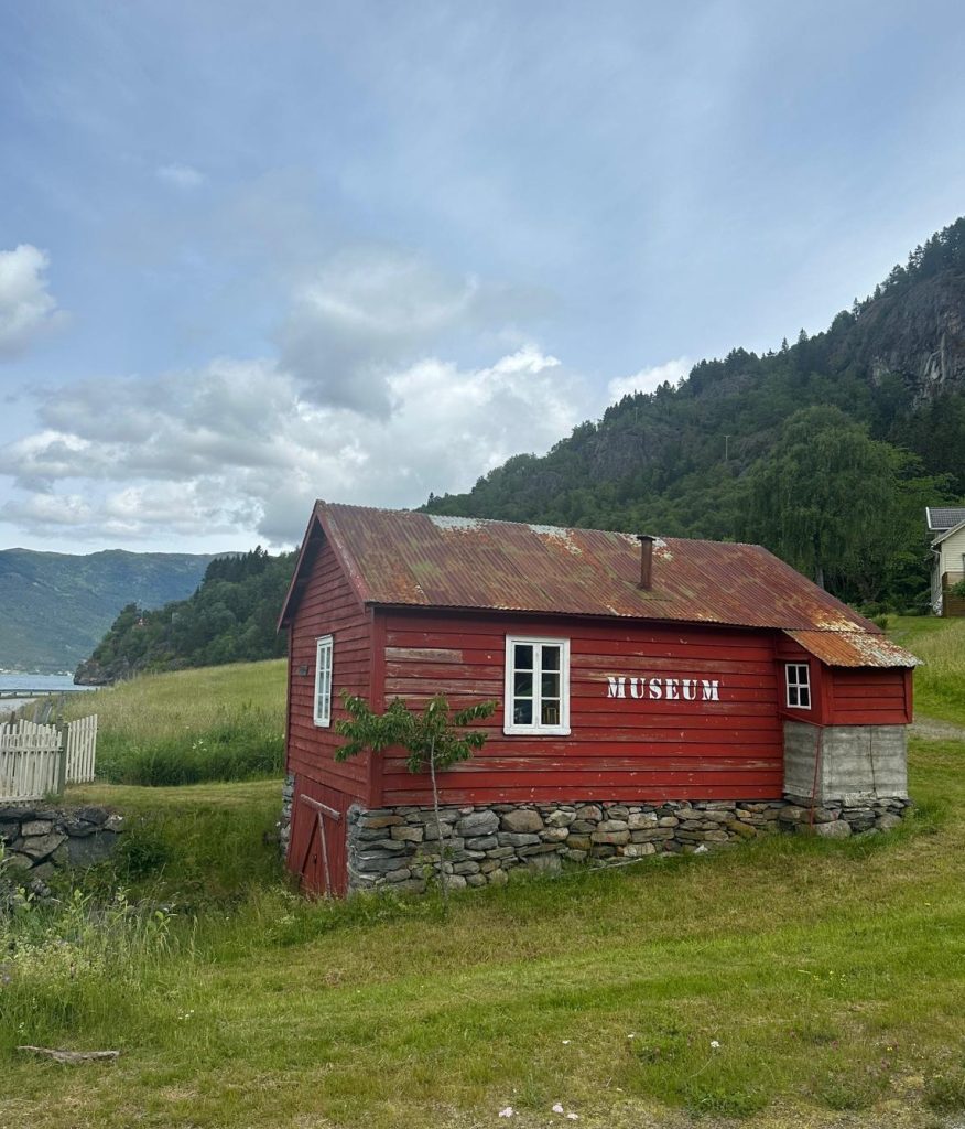
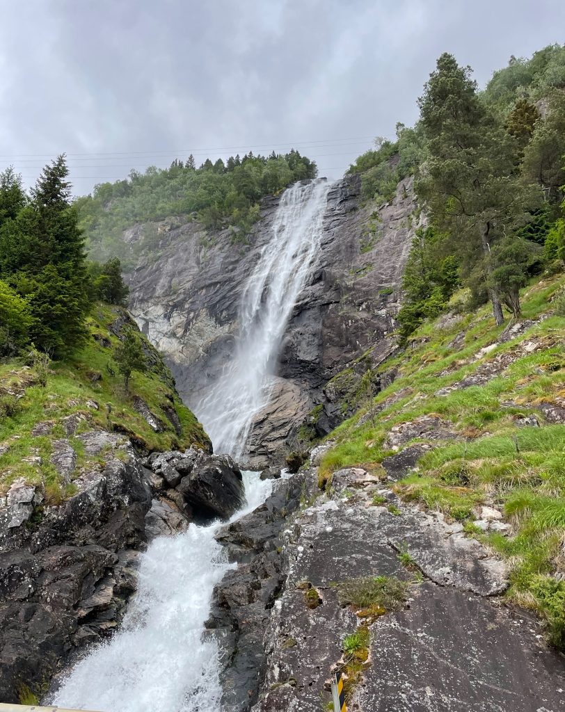
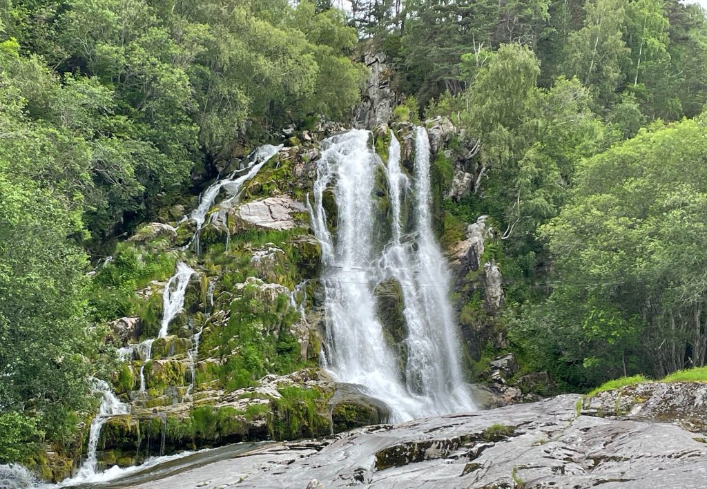
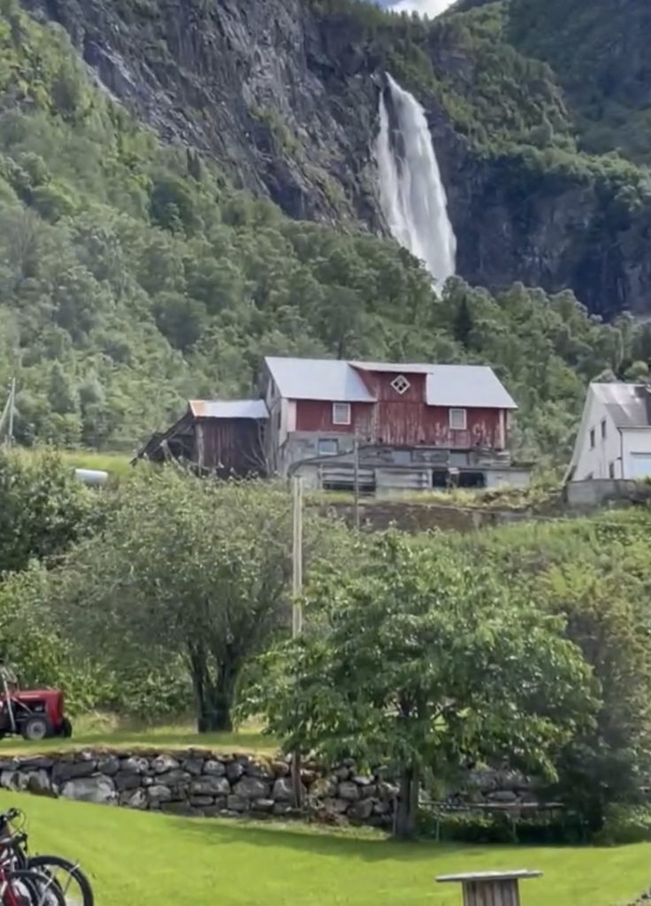
Across the road from the cafe is Feigefossen Falls. With a 218 metre free fall, this is one of the highest single-drop waterfalls in Norway.
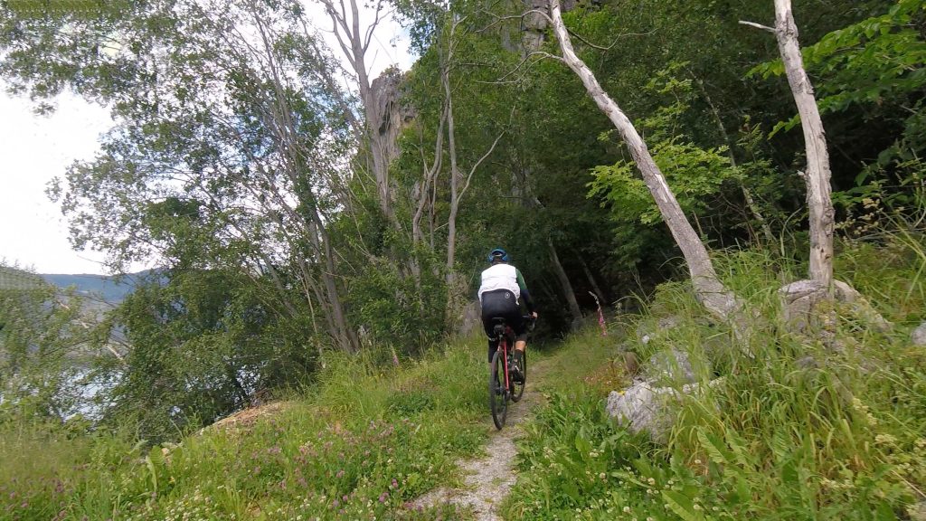
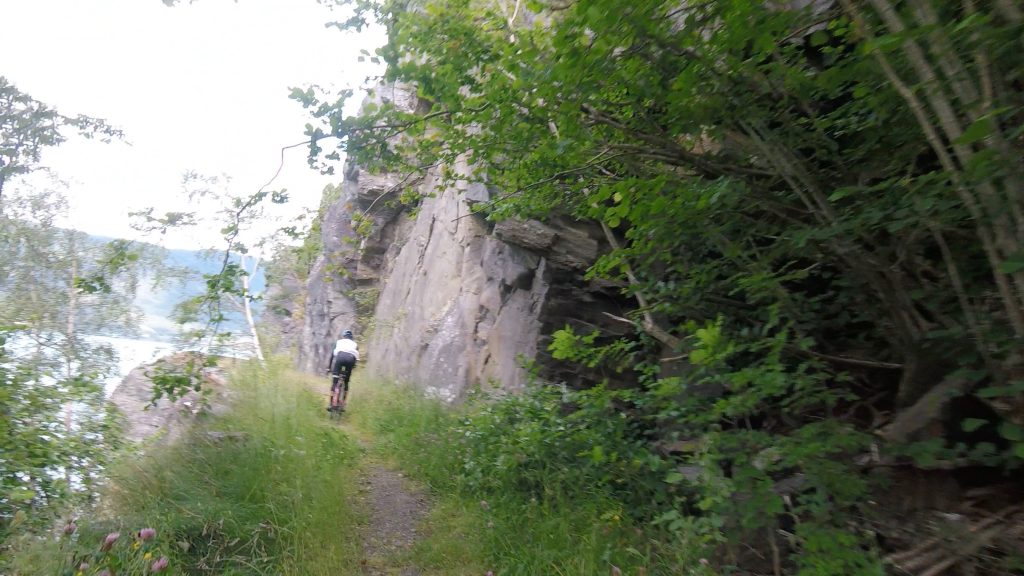
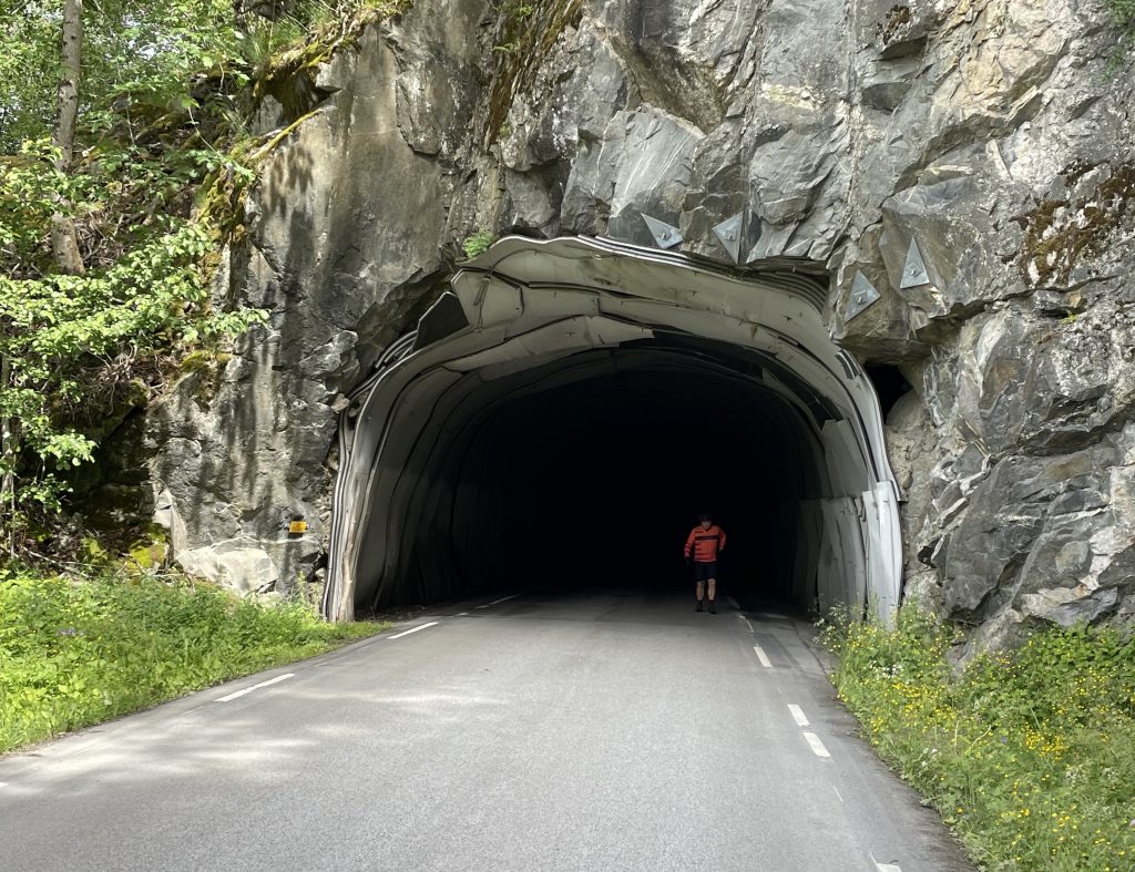
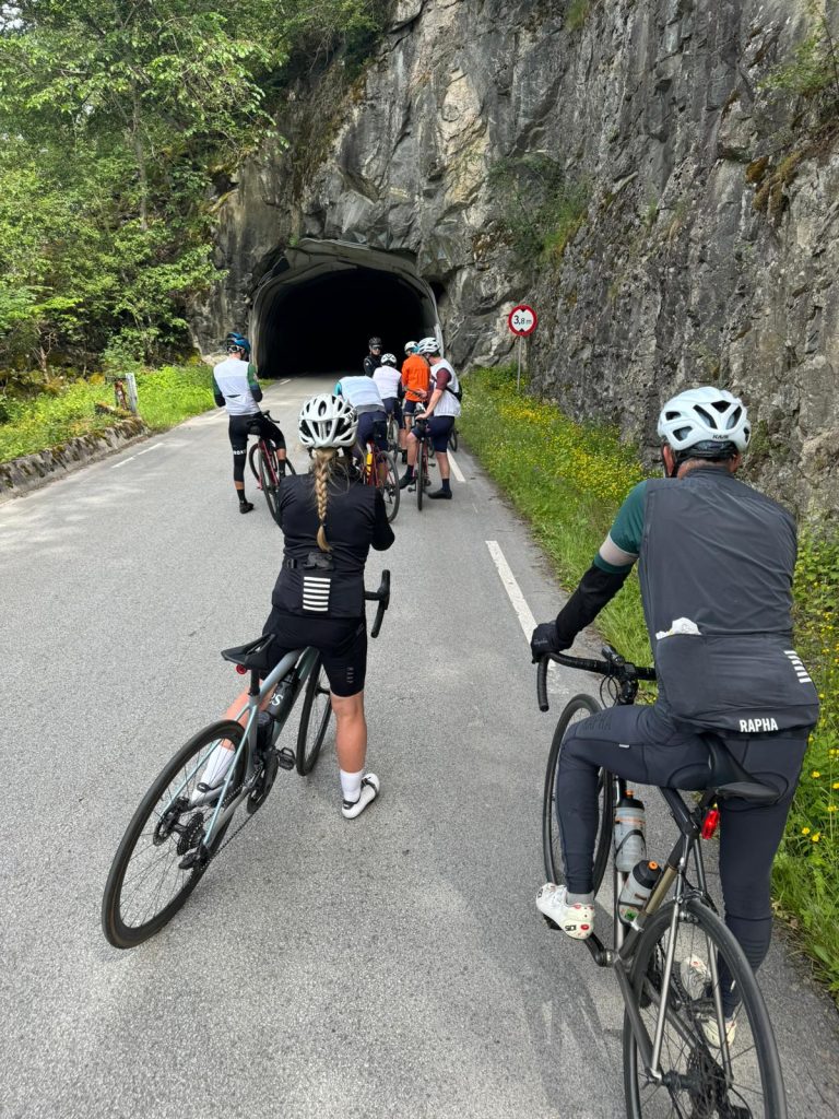
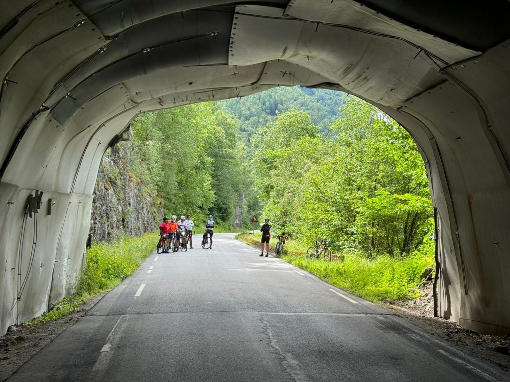
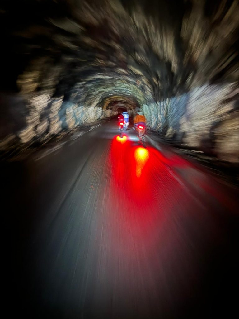
From lunch to the end of the ride was only 16 km but it had 2 dark tunnels, the first one 2 km long and the 2nd was 1km. We went through these as a group to get as much shared headlight. There were 2 other tunnels but we had bike path detours for those, one on single track
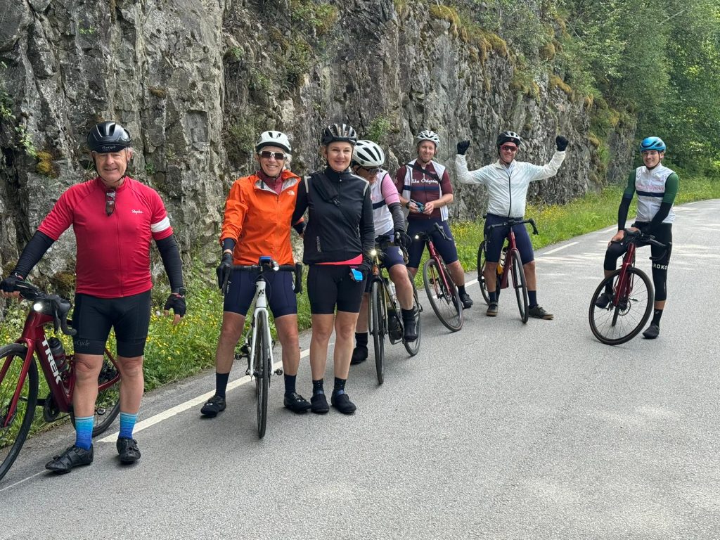
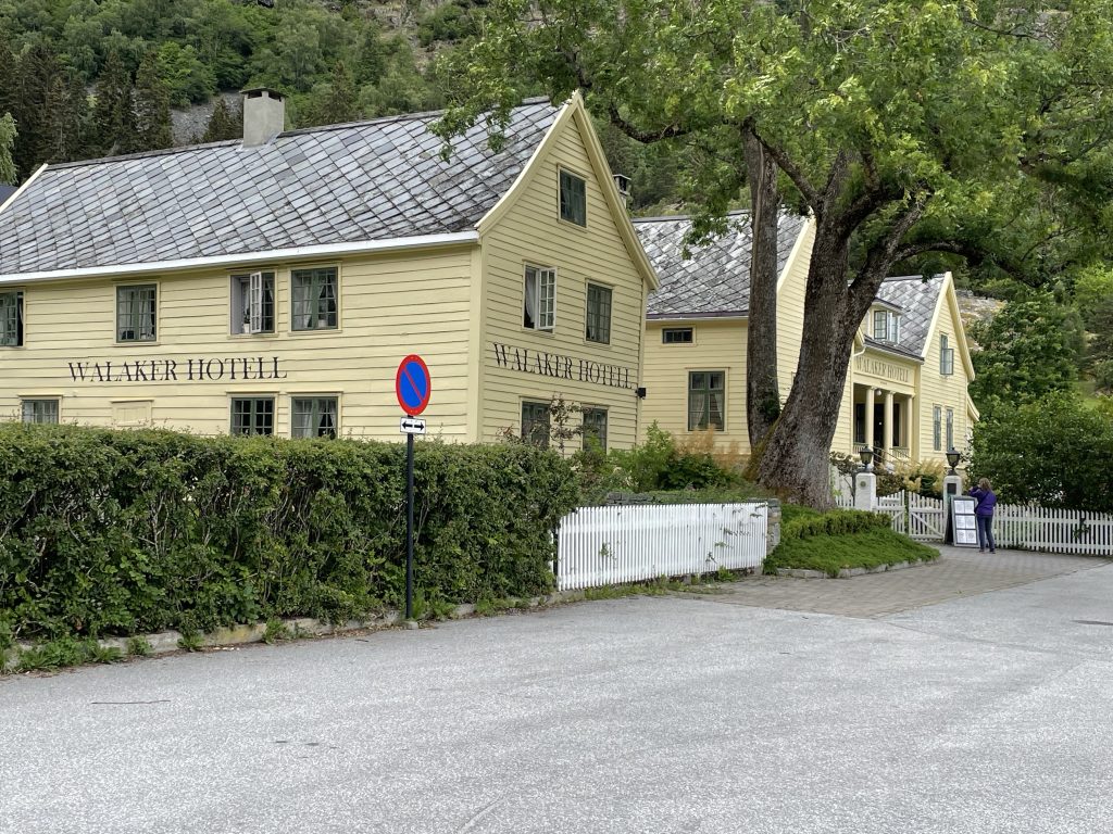
Our destination today and for our rest day tomorrow is Skjolden. This was one of the last stops for fjord traffic and was an important and ancient transport corridor. The pilgrims travelled through here often, as the first tourists in history, on their way to Nidaros in Trondheim. Skjolden is in fact located on a branch of the Sognefjord called Lustrafjord meaning beautiful fjord.
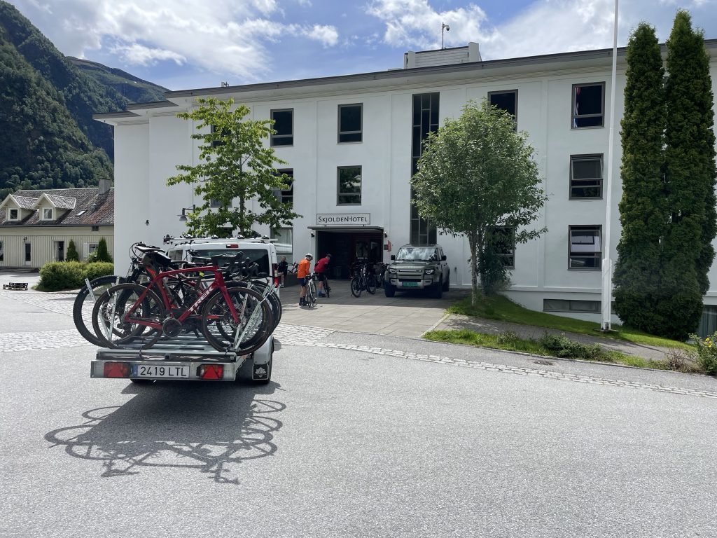
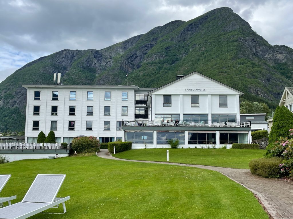
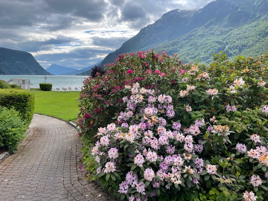
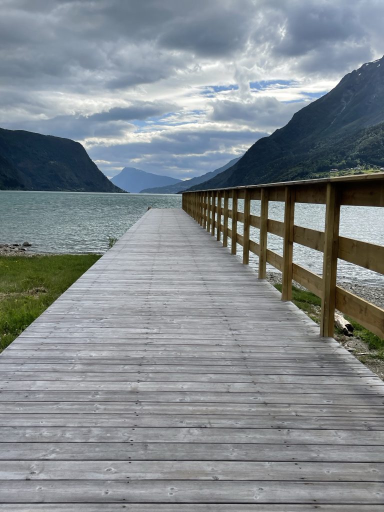
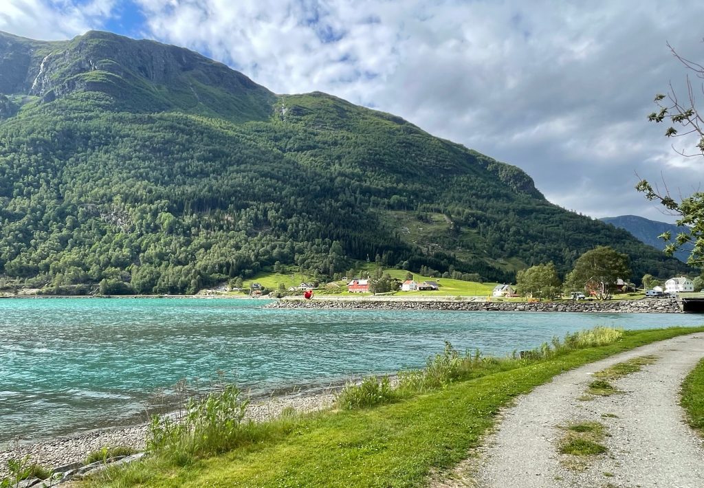
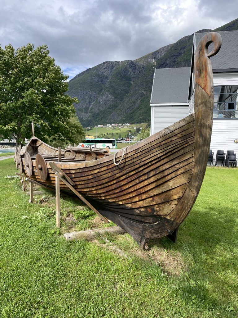
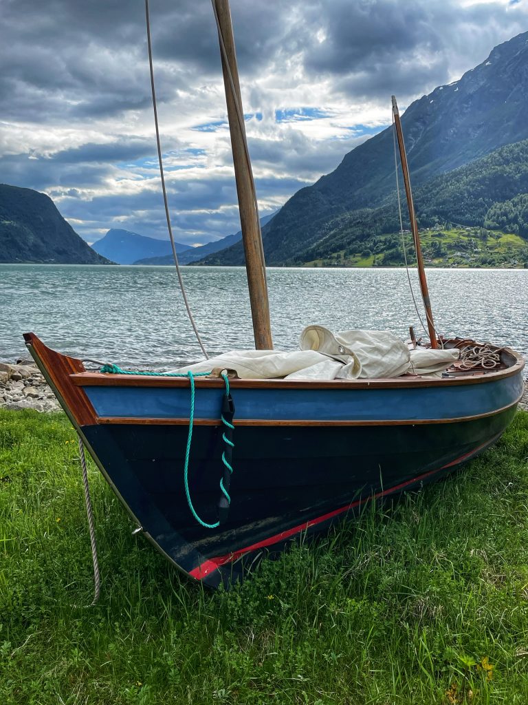
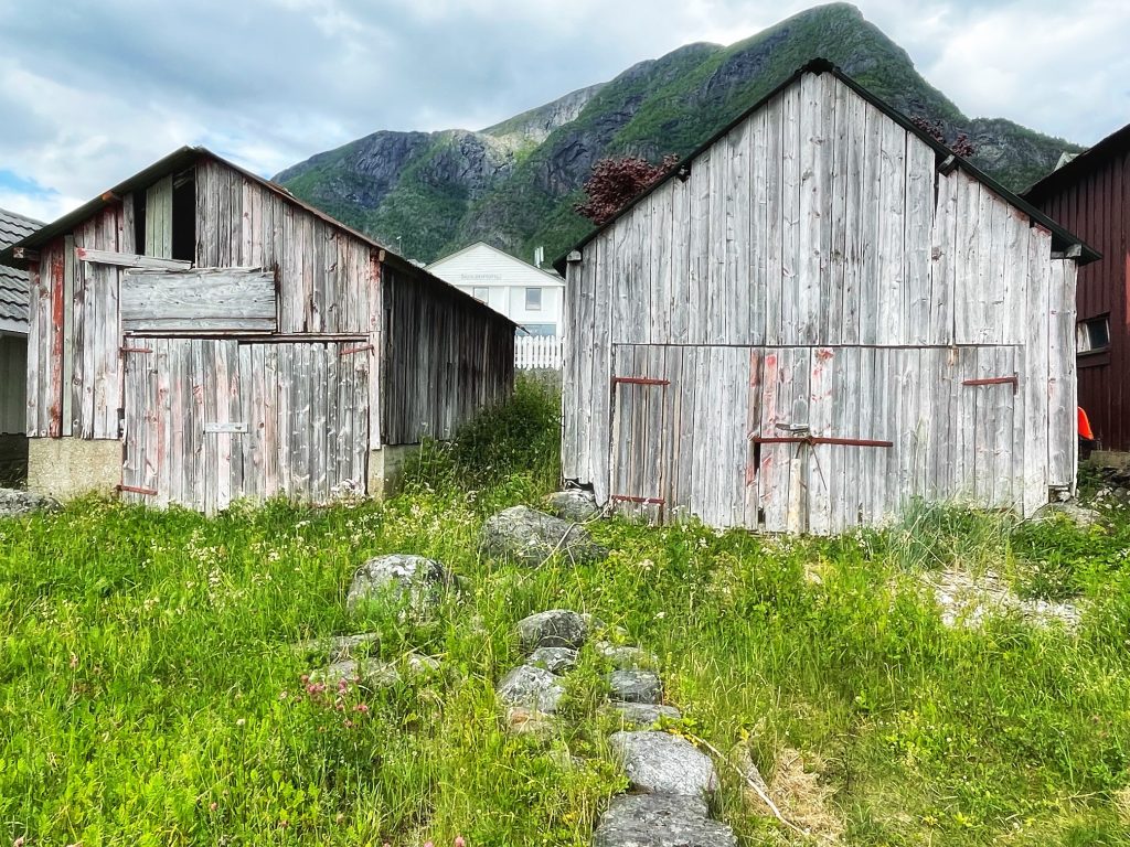
Life is Good in Skjolden!
